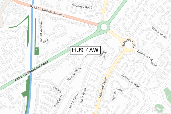
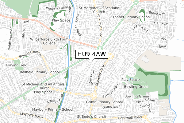
HU9 4AW is located in the Longhill & Bilton Grange electoral ward, within the unitary authority of Kingston upon Hull, City of and the English Parliamentary constituency of Kingston upon Hull East. The Sub Integrated Care Board (ICB) Location is NHS Humber and North Yorkshire ICB - 03F and the police force is Humberside. This postcode has been in use since December 2019.


GetTheData
Source: OS Open Zoomstack (Ordnance Survey)
Licence: Open Government Licence (requires attribution)
Attribution: Contains OS data © Crown copyright and database right 2025
Source: Open Postcode Geo
Licence: Open Government Licence (requires attribution)
Attribution: Contains OS data © Crown copyright and database right 2025; Contains Royal Mail data © Royal Mail copyright and database right 2025; Source: Office for National Statistics licensed under the Open Government Licence v.3.0
| Easting | 514082 |
| Northing | 431949 |
| Latitude | 53.771416 |
| Longitude | -0.270536 |
GetTheData
Source: Open Postcode Geo
Licence: Open Government Licence
| Country | England |
| Postcode District | HU9 |
➜ See where HU9 is on a map ➜ Where is Kingston upon Hull? | |
GetTheData
Source: Land Registry Price Paid Data
Licence: Open Government Licence
| Ward | Longhill & Bilton Grange |
| Constituency | Kingston Upon Hull East |
GetTheData
Source: ONS Postcode Database
Licence: Open Government Licence
| The Apollo Ph (Holderness Road) | Sutton Ings | 100m |
| Saltshouse Road (Holderness Road) | Sutton Ings | 140m |
| Milne Road (Staveley Road) | Bilton Grange | 172m |
| Garland Close (Staveley Road) | Bilton Grange | 197m |
| Eastmount Avenue (Holderness Road) | Sutton Ings | 199m |
| Hull Station | 5.8km |
GetTheData
Source: NaPTAN
Licence: Open Government Licence
GetTheData
Source: ONS Postcode Database
Licence: Open Government Licence


➜ Get more ratings from the Food Standards Agency
GetTheData
Source: Food Standards Agency
Licence: FSA terms & conditions
| Last Collection | |||
|---|---|---|---|
| Location | Mon-Fri | Sat | Distance |
| Salthouse Road Hull | 17:15 | 11:30 | 111m |
| Staveley Road Hull | 17:00 | 10:30 | 272m |
| Greenwich Avenue Post Office | 16:45 | 12:00 | 373m |
GetTheData
Source: Dracos
Licence: Creative Commons Attribution-ShareAlike
| Risk of HU9 4AW flooding from rivers and sea | Low |
| ➜ HU9 4AW flood map | |
GetTheData
Source: Open Flood Risk by Postcode
Licence: Open Government Licence
The below table lists the International Territorial Level (ITL) codes (formerly Nomenclature of Territorial Units for Statistics (NUTS) codes) and Local Administrative Units (LAU) codes for HU9 4AW:
| ITL 1 Code | Name |
|---|---|
| TLE | Yorkshire and The Humber |
| ITL 2 Code | Name |
| TLE1 | East Yorkshire and Northern Lincolnshire |
| ITL 3 Code | Name |
| TLE11 | Kingston upon Hull, City of |
| LAU 1 Code | Name |
| E06000010 | Kingston upon Hull, City of |
GetTheData
Source: ONS Postcode Directory
Licence: Open Government Licence
The below table lists the Census Output Area (OA), Lower Layer Super Output Area (LSOA), and Middle Layer Super Output Area (MSOA) for HU9 4AW:
| Code | Name | |
|---|---|---|
| OA | E00064701 | |
| LSOA | E01012825 | Kingston upon Hull 010B |
| MSOA | E02002661 | Kingston upon Hull 010 |
GetTheData
Source: ONS Postcode Directory
Licence: Open Government Licence
| HU9 4AH | Holderness Road | 51m |
| HU9 4UL | Milne Road | 93m |
| HU9 4UN | Milne Road | 117m |
| HU8 9EA | Holderness Road | 121m |
| HU9 4UJ | Mallard Road | 130m |
| HU9 4UH | Mallard Road | 142m |
| HU9 4UG | Milne Road | 161m |
| HU9 4US | Staveley Road | 172m |
| HU8 9ED | Saltshouse Road | 188m |
| HU9 4AG | Holderness Road | 191m |
GetTheData
Source: Open Postcode Geo; Land Registry Price Paid Data
Licence: Open Government Licence