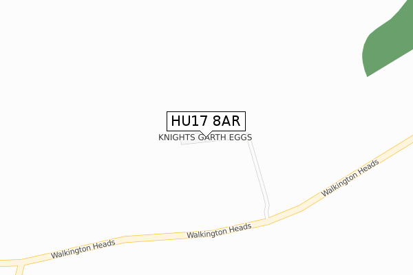
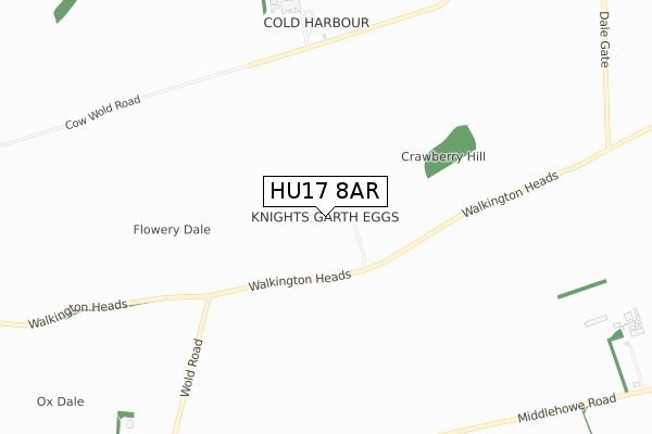
HU17 8AR is located in the Beverley Rural electoral ward, within the unitary authority of East Riding of Yorkshire and the English Parliamentary constituency of Beverley and Holderness. The Sub Integrated Care Board (ICB) Location is NHS Humber and North Yorkshire ICB - 02Y and the police force is Humberside. This postcode has been in use since October 2019.


GetTheData
Source: OS Open Zoomstack (Ordnance Survey)
Licence: Open Government Licence (requires attribution)
Attribution: Contains OS data © Crown copyright and database right 2025
Source: Open Postcode Geo
Licence: Open Government Licence (requires attribution)
Attribution: Contains OS data © Crown copyright and database right 2025; Contains Royal Mail data © Royal Mail copyright and database right 2025; Source: Office for National Statistics licensed under the Open Government Licence v.3.0
| Easting | 497588 |
| Northing | 437893 |
| Latitude | 53.828168 |
| Longitude | -0.518816 |
GetTheData
Source: Open Postcode Geo
Licence: Open Government Licence
| Country | England |
| Postcode District | HU17 |
➜ See where HU17 is on a map | |
GetTheData
Source: Land Registry Price Paid Data
Licence: Open Government Licence
| Ward | Beverley Rural |
| Constituency | Beverley And Holderness |
GetTheData
Source: ONS Postcode Database
Licence: Open Government Licence
GetTheData
Source: ONS Postcode Database
Licence: Open Government Licence
| Last Collection | |||
|---|---|---|---|
| Location | Mon-Fri | Sat | Distance |
| Little Weighton Post Office | 16:45 | 11:15 | 4,251m |
| Rowley Road | 16:45 | 11:15 | 4,605m |
| Bentley | 16:00 | 12:00 | 4,773m |
GetTheData
Source: Dracos
Licence: Creative Commons Attribution-ShareAlike
The below table lists the International Territorial Level (ITL) codes (formerly Nomenclature of Territorial Units for Statistics (NUTS) codes) and Local Administrative Units (LAU) codes for HU17 8AR:
| ITL 1 Code | Name |
|---|---|
| TLE | Yorkshire and The Humber |
| ITL 2 Code | Name |
| TLE1 | East Yorkshire and Northern Lincolnshire |
| ITL 3 Code | Name |
| TLE12 | East Riding of Yorkshire |
| LAU 1 Code | Name |
| E06000011 | East Riding of Yorkshire |
GetTheData
Source: ONS Postcode Directory
Licence: Open Government Licence
The below table lists the Census Output Area (OA), Lower Layer Super Output Area (LSOA), and Middle Layer Super Output Area (MSOA) for HU17 8AR:
| Code | Name | |
|---|---|---|
| OA | E00065168 | |
| LSOA | E01012919 | East Riding of Yorkshire 020A |
| MSOA | E02002703 | East Riding of Yorkshire 020 |
GetTheData
Source: ONS Postcode Directory
Licence: Open Government Licence
| HU17 8SZ | Hunsley Road | 1541m |
| HU17 8SY | Townend Road | 1695m |
| HU17 8SU | Manor House Lane | 1711m |
| HU17 8TJ | Westfield Garth | 1734m |
| HU17 8TH | Birch Lea | 1796m |
| HU17 8TQ | Saunders Lane | 1834m |
| HU17 8TX | Home Farm | 1854m |
| HU17 8TE | Middlehowe Green | 1869m |
| HU17 8TN | Shire View | 1909m |
| HU17 8TL | Bramble Garth | 1952m |
GetTheData
Source: Open Postcode Geo; Land Registry Price Paid Data
Licence: Open Government Licence