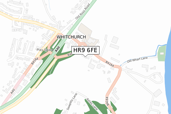
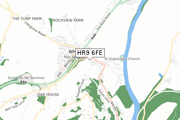
HR9 6FE is located in the Kerne Bridge electoral ward, within the unitary authority of Herefordshire, County of and the English Parliamentary constituency of Hereford and South Herefordshire. The Sub Integrated Care Board (ICB) Location is NHS Herefordshire and Worcestershire ICB - 18C and the police force is West Mercia. This postcode has been in use since April 2018.


GetTheData
Source: OS Open Zoomstack (Ordnance Survey)
Licence: Open Government Licence (requires attribution)
Attribution: Contains OS data © Crown copyright and database right 2024
Source: Open Postcode Geo
Licence: Open Government Licence (requires attribution)
Attribution: Contains OS data © Crown copyright and database right 2024; Contains Royal Mail data © Royal Mail copyright and database right 2024; Source: Office for National Statistics licensed under the Open Government Licence v.3.0
| Easting | 355174 |
| Northing | 217479 |
| Latitude | 51.854097 |
| Longitude | -2.652237 |
GetTheData
Source: Open Postcode Geo
Licence: Open Government Licence
| Country | England |
| Postcode District | HR9 |
➜ See where HR9 is on a map | |
GetTheData
Source: Land Registry Price Paid Data
Licence: Open Government Licence
| Ward | Kerne Bridge |
| Constituency | Hereford And South Herefordshire |
GetTheData
Source: ONS Postcode Database
Licence: Open Government Licence
| Roundabout (B4164) | Whitchurch | 64m |
| Crockers Ash Turn (Old Road To Crockers Ash) | Whitchurch | 173m |
| Whitchurch Turn (Old Road To Crockers Ash) | Whitchurch | 184m |
| Crown Hotel (Whitchurch Service Road) | Whitchurch | 196m |
| Tower Stores (B4164) | Whitchurch | 206m |
GetTheData
Source: NaPTAN
Licence: Open Government Licence
| Percentage of properties with Next Generation Access | 100.0% |
| Percentage of properties with Superfast Broadband | 100.0% |
| Percentage of properties with Ultrafast Broadband | 0.0% |
| Percentage of properties with Full Fibre Broadband | 0.0% |
Superfast Broadband is between 30Mbps and 300Mbps
Ultrafast Broadband is > 300Mbps
| Percentage of properties unable to receive 2Mbps | 0.0% |
| Percentage of properties unable to receive 5Mbps | 0.0% |
| Percentage of properties unable to receive 10Mbps | 0.0% |
| Percentage of properties unable to receive 30Mbps | 0.0% |
GetTheData
Source: Ofcom
Licence: Ofcom Terms of Use (requires attribution)
GetTheData
Source: ONS Postcode Database
Licence: Open Government Licence


➜ Get more ratings from the Food Standards Agency
GetTheData
Source: Food Standards Agency
Licence: FSA terms & conditions
| Last Collection | |||
|---|---|---|---|
| Location | Mon-Fri | Sat | Distance |
| Symonds Yat Rock | 10:30 | 10:30 | 2,215m |
| Lea P.o. | 16:00 | 10:45 | 2,842m |
| Goodrich P.o. | 15:45 | 11:00 | 2,963m |
GetTheData
Source: Dracos
Licence: Creative Commons Attribution-ShareAlike
The below table lists the International Territorial Level (ITL) codes (formerly Nomenclature of Territorial Units for Statistics (NUTS) codes) and Local Administrative Units (LAU) codes for HR9 6FE:
| ITL 1 Code | Name |
|---|---|
| TLG | West Midlands (England) |
| ITL 2 Code | Name |
| TLG1 | Herefordshire, Worcestershire and Warwickshire |
| ITL 3 Code | Name |
| TLG11 | Herefordshire, County of |
| LAU 1 Code | Name |
| E06000019 | Herefordshire, County of |
GetTheData
Source: ONS Postcode Directory
Licence: Open Government Licence
The below table lists the Census Output Area (OA), Lower Layer Super Output Area (LSOA), and Middle Layer Super Output Area (MSOA) for HR9 6FE:
| Code | Name | |
|---|---|---|
| OA | E00070847 | |
| LSOA | E01014031 | Herefordshire 023A |
| MSOA | E02002927 | Herefordshire 023 |
GetTheData
Source: ONS Postcode Directory
Licence: Open Government Licence
| HR9 6DA | Old Court Bank | 41m |
| HR9 6DB | 241m | |
| HR9 6EF | Hollywell Close | 265m |
| HR9 6DJ | 346m | |
| HR9 6EA | Grange Park | 365m |
| HR9 6BJ | 395m | |
| HR9 6DQ | 396m | |
| HR9 6BZ | 411m | |
| HR9 6BT | Yew Tree Close | 415m |
| HR9 6ED | Norton Close | 421m |
GetTheData
Source: Open Postcode Geo; Land Registry Price Paid Data
Licence: Open Government Licence