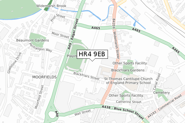
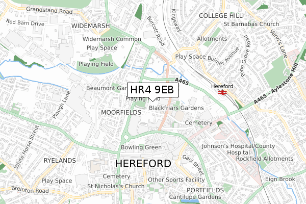
HR4 9EB is located in the Widemarsh electoral ward, within the unitary authority of Herefordshire, County of and the English Parliamentary constituency of Hereford and South Herefordshire. The Sub Integrated Care Board (ICB) Location is NHS Herefordshire and Worcestershire ICB - 18C and the police force is West Mercia. This postcode has been in use since July 2019.


GetTheData
Source: OS Open Zoomstack (Ordnance Survey)
Licence: Open Government Licence (requires attribution)
Attribution: Contains OS data © Crown copyright and database right 2025
Source: Open Postcode Geo
Licence: Open Government Licence (requires attribution)
Attribution: Contains OS data © Crown copyright and database right 2025; Contains Royal Mail data © Royal Mail copyright and database right 2025; Source: Office for National Statistics licensed under the Open Government Licence v.3.0
| Easting | 350977 |
| Northing | 240477 |
| Latitude | 52.060499 |
| Longitude | -2.716457 |
GetTheData
Source: Open Postcode Geo
Licence: Open Government Licence
| Country | England |
| Postcode District | HR4 |
➜ See where HR4 is on a map ➜ Where is Hereford? | |
GetTheData
Source: Land Registry Price Paid Data
Licence: Open Government Licence
| Ward | Widemarsh |
| Constituency | Hereford And South Herefordshire |
GetTheData
Source: ONS Postcode Database
Licence: Open Government Licence
| Courtyard Theatre (Edgar Street) | Hereford | 135m |
| Courtyard Theatre (Edgar Street) | Hereford | 153m |
| Old Market (Newmarket Street A438) | Hereford | 264m |
| Penhaligon Way | Hereford | 280m |
| Heart Of Oak Inn (Edgar Street) | Hereford | 291m |
| Hereford Station | 0.6km |
GetTheData
Source: NaPTAN
Licence: Open Government Licence
| Percentage of properties with Next Generation Access | 100.0% |
| Percentage of properties with Superfast Broadband | 100.0% |
| Percentage of properties with Ultrafast Broadband | 100.0% |
| Percentage of properties with Full Fibre Broadband | 100.0% |
Superfast Broadband is between 30Mbps and 300Mbps
Ultrafast Broadband is > 300Mbps
| Percentage of properties unable to receive 2Mbps | 0.0% |
| Percentage of properties unable to receive 5Mbps | 0.0% |
| Percentage of properties unable to receive 10Mbps | 0.0% |
| Percentage of properties unable to receive 30Mbps | 0.0% |
GetTheData
Source: Ofcom
Licence: Ofcom Terms of Use (requires attribution)
GetTheData
Source: ONS Postcode Database
Licence: Open Government Licence


➜ Get more ratings from the Food Standards Agency
GetTheData
Source: Food Standards Agency
Licence: FSA terms & conditions
| Last Collection | |||
|---|---|---|---|
| Location | Mon-Fri | Sat | Distance |
| Commercial Street | 18:30 | 11:30 | 407m |
| Commercial Road | 18:30 | 12:00 | 453m |
| St Peters Street P.o. | 18:45 | 12:30 | 476m |
GetTheData
Source: Dracos
Licence: Creative Commons Attribution-ShareAlike
The below table lists the International Territorial Level (ITL) codes (formerly Nomenclature of Territorial Units for Statistics (NUTS) codes) and Local Administrative Units (LAU) codes for HR4 9EB:
| ITL 1 Code | Name |
|---|---|
| TLG | West Midlands (England) |
| ITL 2 Code | Name |
| TLG1 | Herefordshire, Worcestershire and Warwickshire |
| ITL 3 Code | Name |
| TLG11 | Herefordshire, County of |
| LAU 1 Code | Name |
| E06000019 | Herefordshire, County of |
GetTheData
Source: ONS Postcode Directory
Licence: Open Government Licence
The below table lists the Census Output Area (OA), Lower Layer Super Output Area (LSOA), and Middle Layer Super Output Area (MSOA) for HR4 9EB:
| Code | Name | |
|---|---|---|
| OA | E00070724 | |
| LSOA | E01014010 | Herefordshire 012C |
| MSOA | E02002916 | Herefordshire 012 |
GetTheData
Source: ONS Postcode Directory
Licence: Open Government Licence
| HR4 9HS | Blackfriars Street | 110m |
| HR4 9EZ | Widemarsh Street | 153m |
| HR4 9HN | Widemarsh Street | 171m |
| HR4 9HU | Garrick Lane | 187m |
| HR4 9HG | Widemarsh Street | 190m |
| HR4 9LA | Moor Street | 227m |
| HR4 9JR | Edgar Street | 239m |
| HR4 9HE | Widemarsh Street | 243m |
| HR1 2DY | Coningsby Street | 278m |
| HR4 9JS | Edgar Street | 289m |
GetTheData
Source: Open Postcode Geo; Land Registry Price Paid Data
Licence: Open Government Licence