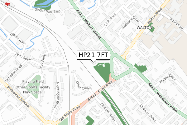
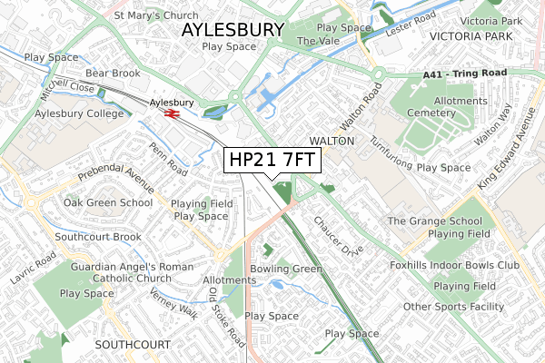
HP21 7FT is located in the Aylesbury North electoral ward, within the unitary authority of Buckinghamshire and the English Parliamentary constituency of Aylesbury. The Sub Integrated Care Board (ICB) Location is NHS Buckinghamshire, Oxfordshire and Berkshire West ICB - 14Y and the police force is Thames Valley. This postcode has been in use since March 2018.


GetTheData
Source: OS Open Zoomstack (Ordnance Survey)
Licence: Open Government Licence (requires attribution)
Attribution: Contains OS data © Crown copyright and database right 2025
Source: Open Postcode Geo
Licence: Open Government Licence (requires attribution)
Attribution: Contains OS data © Crown copyright and database right 2025; Contains Royal Mail data © Royal Mail copyright and database right 2025; Source: Office for National Statistics licensed under the Open Government Licence v.3.0
| Easting | 482260 |
| Northing | 213134 |
| Latitude | 51.810805 |
| Longitude | -0.808177 |
GetTheData
Source: Open Postcode Geo
Licence: Open Government Licence
| Country | England |
| Postcode District | HP21 |
➜ See where HP21 is on a map ➜ Where is Aylesbury? | |
GetTheData
Source: Land Registry Price Paid Data
Licence: Open Government Licence
| Ward | Aylesbury North |
| Constituency | Aylesbury |
GetTheData
Source: ONS Postcode Database
Licence: Open Government Licence
| Magistrates Court (Walton Street) | Aylesbury | 95m |
| Walton Street | Aylesbury | 152m |
| The Plough & Harrow Ph (Walton Gyratory) | Aylesbury | 170m |
| Stoke Road | Aylesbury | 187m |
| Police Station (Walton Gyratory) | Aylesbury | 196m |
| Aylesbury Station | 0.6km |
| Stoke Mandeville Station | 3.1km |
| Aylesbury Vale Parkway Station | 4.2km |
GetTheData
Source: NaPTAN
Licence: Open Government Licence
GetTheData
Source: ONS Postcode Database
Licence: Open Government Licence


➜ Get more ratings from the Food Standards Agency
GetTheData
Source: Food Standards Agency
Licence: FSA terms & conditions
| Last Collection | |||
|---|---|---|---|
| Location | Mon-Fri | Sat | Distance |
| Stoke Road | 17:15 | 12:00 | 192m |
| Walton Street | 17:00 | 12:00 | 206m |
| Walton Road | 17:15 | 12:00 | 207m |
GetTheData
Source: Dracos
Licence: Creative Commons Attribution-ShareAlike
The below table lists the International Territorial Level (ITL) codes (formerly Nomenclature of Territorial Units for Statistics (NUTS) codes) and Local Administrative Units (LAU) codes for HP21 7FT:
| ITL 1 Code | Name |
|---|---|
| TLJ | South East (England) |
| ITL 2 Code | Name |
| TLJ1 | Berkshire, Buckinghamshire and Oxfordshire |
| ITL 3 Code | Name |
| TLJ13 | Buckinghamshire |
| LAU 1 Code | Name |
| E06000060 | Buckinghamshire |
GetTheData
Source: ONS Postcode Directory
Licence: Open Government Licence
The below table lists the Census Output Area (OA), Lower Layer Super Output Area (LSOA), and Middle Layer Super Output Area (MSOA) for HP21 7FT:
| Code | Name | |
|---|---|---|
| OA | E00169118 | |
| LSOA | E01032955 | Aylesbury Vale 015E |
| MSOA | E02003666 | Aylesbury Vale 015 |
GetTheData
Source: ONS Postcode Directory
Licence: Open Government Licence
| HP21 7QP | Walton Street | 91m |
| HP21 7FX | Viridian Square | 96m |
| HP21 7QY | Walton Terrace | 133m |
| HP21 7FY | Viridian Square | 141m |
| HP21 7RB | Walton Green | 143m |
| HP21 8BY | Court Close | 145m |
| HP21 7FZ | Viridian Square | 151m |
| HP21 7SZ | Wendover Road | 161m |
| HP21 7TF | Stoke Road | 167m |
| HP21 7TE | Stoke Road | 171m |
GetTheData
Source: Open Postcode Geo; Land Registry Price Paid Data
Licence: Open Government Licence