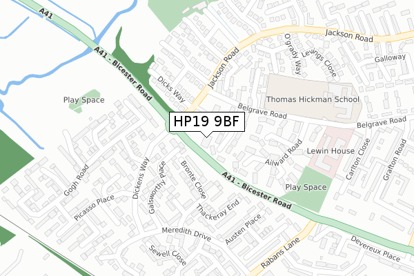
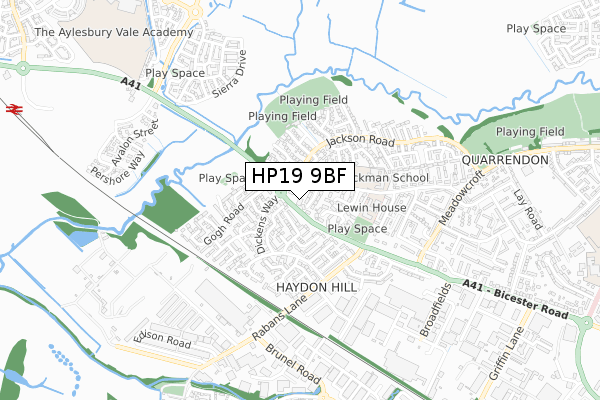
HP19 9BF is located in the Aylesbury North West electoral ward, within the unitary authority of Buckinghamshire and the English Parliamentary constituency of Aylesbury. The Sub Integrated Care Board (ICB) Location is NHS Buckinghamshire, Oxfordshire and Berkshire West ICB - 14Y and the police force is Thames Valley. This postcode has been in use since June 2000.


GetTheData
Source: OS Open Zoomstack (Ordnance Survey)
Licence: Open Government Licence (requires attribution)
Attribution: Contains OS data © Crown copyright and database right 2025
Source: Open Postcode Geo
Licence: Open Government Licence (requires attribution)
Attribution: Contains OS data © Crown copyright and database right 2025; Contains Royal Mail data © Royal Mail copyright and database right 2025; Source: Office for National Statistics licensed under the Open Government Licence v.3.0
| Easting | 479844 |
| Northing | 214970 |
| Latitude | 51.827659 |
| Longitude | -0.842791 |
GetTheData
Source: Open Postcode Geo
Licence: Open Government Licence
| Country | England |
| Postcode District | HP19 |
➜ See where HP19 is on a map ➜ Where is Aylesbury? | |
GetTheData
Source: Land Registry Price Paid Data
Licence: Open Government Licence
Elevation or altitude of HP19 9BF as distance above sea level:
| Metres | Feet | |
|---|---|---|
| Elevation | 80m | 262ft |
Elevation is measured from the approximate centre of the postcode, to the nearest point on an OS contour line from OS Terrain 50, which has contour spacing of ten vertical metres.
➜ How high above sea level am I? Find the elevation of your current position using your device's GPS.
GetTheData
Source: Open Postcode Elevation
Licence: Open Government Licence
| Ward | Aylesbury North West |
| Constituency | Aylesbury |
GetTheData
Source: ONS Postcode Database
Licence: Open Government Licence
| Meadowcroft Surgery (Jackson Road) | Quarrendon Estate | 92m |
| Meadowcroft Surgery (Jackson Road) | Quarrendon Estate | 100m |
| Dickens Way | Aylesbury | 167m |
| Dickens Way | Aylesbury | 216m |
| Bronte Close (Meredith Drive) | Aylesbury | 224m |
| Aylesbury Vale Parkway Station | 1.3km |
| Aylesbury Station | 2.4km |
| Stoke Mandeville Station | 6km |
GetTheData
Source: NaPTAN
Licence: Open Government Licence
GetTheData
Source: ONS Postcode Database
Licence: Open Government Licence


➜ Get more ratings from the Food Standards Agency
GetTheData
Source: Food Standards Agency
Licence: FSA terms & conditions
| Last Collection | |||
|---|---|---|---|
| Location | Mon-Fri | Sat | Distance |
| Quarrendon 2 | 17:15 | 12:00 | 247m |
| Picasso Place | 17:15 | 12:00 | 253m |
| Jackson Road | 17:15 | 12:00 | 297m |
GetTheData
Source: Dracos
Licence: Creative Commons Attribution-ShareAlike
The below table lists the International Territorial Level (ITL) codes (formerly Nomenclature of Territorial Units for Statistics (NUTS) codes) and Local Administrative Units (LAU) codes for HP19 9BF:
| ITL 1 Code | Name |
|---|---|
| TLJ | South East (England) |
| ITL 2 Code | Name |
| TLJ1 | Berkshire, Buckinghamshire and Oxfordshire |
| ITL 3 Code | Name |
| TLJ13 | Buckinghamshire |
| LAU 1 Code | Name |
| E06000060 | Buckinghamshire |
GetTheData
Source: ONS Postcode Directory
Licence: Open Government Licence
The below table lists the Census Output Area (OA), Lower Layer Super Output Area (LSOA), and Middle Layer Super Output Area (MSOA) for HP19 9BF:
| Code | Name | |
|---|---|---|
| OA | E00089361 | |
| LSOA | E01017706 | Aylesbury Vale 012B |
| MSOA | E02003663 | Aylesbury Vale 012 |
GetTheData
Source: ONS Postcode Directory
Licence: Open Government Licence
| HP19 9TS | Haines Close | 45m |
| HP19 8LG | Bronte Close | 108m |
| HP19 9UA | Dicks Way | 143m |
| HP19 9TY | Ailward Road | 147m |
| HP19 8LF | Bronte Close | 157m |
| HP19 9TR | Badrick Road | 157m |
| HP19 8LH | Galsworthy Place | 161m |
| HP19 9TN | Belgrave Road | 162m |
| HP19 8LQ | Galsworthy Place | 163m |
| HP19 9UY | Adkins Close | 166m |
GetTheData
Source: Open Postcode Geo; Land Registry Price Paid Data
Licence: Open Government Licence