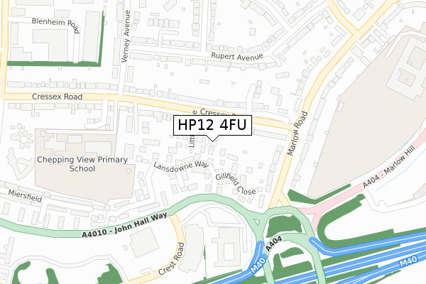
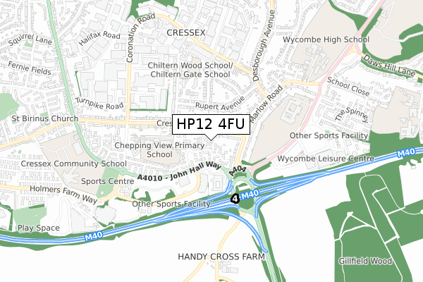
HP12 4FU is located in the Abbey electoral ward, within the unitary authority of Buckinghamshire and the English Parliamentary constituency of Wycombe. The Sub Integrated Care Board (ICB) Location is NHS Buckinghamshire, Oxfordshire and Berkshire West ICB - 14Y and the police force is Thames Valley. This postcode has been in use since January 2020.


GetTheData
Source: OS Open Zoomstack (Ordnance Survey)
Licence: Open Government Licence (requires attribution)
Attribution: Contains OS data © Crown copyright and database right 2025
Source: Open Postcode Geo
Licence: Open Government Licence (requires attribution)
Attribution: Contains OS data © Crown copyright and database right 2025; Contains Royal Mail data © Royal Mail copyright and database right 2025; Source: Office for National Statistics licensed under the Open Government Licence v.3.0
| Easting | 485174 |
| Northing | 191426 |
| Latitude | 51.615231 |
| Longitude | -0.771221 |
GetTheData
Source: Open Postcode Geo
Licence: Open Government Licence
| Country | England |
| Postcode District | HP12 |
➜ See where HP12 is on a map ➜ Where is High Wycombe? | |
GetTheData
Source: Land Registry Price Paid Data
Licence: Open Government Licence
| Ward | Abbey |
| Constituency | Wycombe |
GetTheData
Source: ONS Postcode Database
Licence: Open Government Licence
| Cressex Road East (Cressex Road) | Cressex | 86m |
| Cressex Road East (Cressex Road) | Cressex | 143m |
| Marlow Road | Cressex | 194m |
| Verney Avenue (Cressex Road) | Cressex | 199m |
| Empire Cinema (Crest Road) | Cressex | 224m |
| High Wycombe Station | 2.4km |
| Marlow Station | 4.9km |
| Bourne End Station | 6km |
GetTheData
Source: NaPTAN
Licence: Open Government Licence
GetTheData
Source: ONS Postcode Database
Licence: Open Government Licence


➜ Get more ratings from the Food Standards Agency
GetTheData
Source: Food Standards Agency
Licence: FSA terms & conditions
| Last Collection | |||
|---|---|---|---|
| Location | Mon-Fri | Sat | Distance |
| Lansdowne Way | 16:30 | 12:00 | 70m |
| Verney Avenue | 17:00 | 12:00 | 274m |
| Marlow Road | 16:45 | 12:00 | 438m |
GetTheData
Source: Dracos
Licence: Creative Commons Attribution-ShareAlike
The below table lists the International Territorial Level (ITL) codes (formerly Nomenclature of Territorial Units for Statistics (NUTS) codes) and Local Administrative Units (LAU) codes for HP12 4FU:
| ITL 1 Code | Name |
|---|---|
| TLJ | South East (England) |
| ITL 2 Code | Name |
| TLJ1 | Berkshire, Buckinghamshire and Oxfordshire |
| ITL 3 Code | Name |
| TLJ13 | Buckinghamshire |
| LAU 1 Code | Name |
| E06000060 | Buckinghamshire |
GetTheData
Source: ONS Postcode Directory
Licence: Open Government Licence
The below table lists the Census Output Area (OA), Lower Layer Super Output Area (LSOA), and Middle Layer Super Output Area (MSOA) for HP12 4FU:
| Code | Name | |
|---|---|---|
| OA | E00090009 | |
| LSOA | E01017840 | Wycombe 015E |
| MSOA | E02003710 | Wycombe 015 |
GetTheData
Source: ONS Postcode Directory
Licence: Open Government Licence
| HP11 1TU | Pinels Way | 33m |
| HP12 4PG | Cressex Road | 52m |
| HP11 1TT | Redhouse Close | 55m |
| HP11 1TR | Lansdowne Way | 82m |
| HP12 4TY | Cressex Road | 104m |
| HP11 1TS | Gillfield Close | 125m |
| HP11 1TP | Oldhouse Close | 128m |
| HP11 1TN | Lansdowne Way | 166m |
| HP12 4FG | Bramley Close | 166m |
| HP11 1TH | Marlow Road | 166m |
GetTheData
Source: Open Postcode Geo; Land Registry Price Paid Data
Licence: Open Government Licence