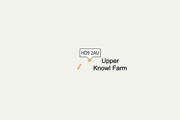
HD9 2AU is located in the Holme Valley South electoral ward, within the metropolitan district of Kirklees and the English Parliamentary constituency of Colne Valley. The Sub Integrated Care Board (ICB) Location is NHS West Yorkshire ICB - X2C4Y and the police force is West Yorkshire. This postcode has been in use since May 2010.


GetTheData
Source: OS OpenMap – Local (Ordnance Survey)
Source: OS VectorMap District (Ordnance Survey)
Licence: Open Government Licence (requires attribution)
| Easting | 409861 |
| Northing | 407627 |
| Latitude | 53.565165 |
| Longitude | -1.852587 |
GetTheData
Source: Open Postcode Geo
Licence: Open Government Licence
| Country | England |
| Postcode District | HD9 |
➜ See where HD9 is on a map | |
GetTheData
Source: Land Registry Price Paid Data
Licence: Open Government Licence
Elevation or altitude of HD9 2AU as distance above sea level:
| Metres | Feet | |
|---|---|---|
| Elevation | 360m | 1,181ft |
Elevation is measured from the approximate centre of the postcode, to the nearest point on an OS contour line from OS Terrain 50, which has contour spacing of ten vertical metres.
➜ How high above sea level am I? Find the elevation of your current position using your device's GPS.
GetTheData
Source: Open Postcode Elevation
Licence: Open Government Licence
| Ward | Holme Valley South |
| Constituency | Colne Valley |
GetTheData
Source: ONS Postcode Database
Licence: Open Government Licence
| Greenfield Road Harden Moss Rd (Greenfield Road) | Holmfirth | 467m |
| Greenfield Rd Harden Moss Rd (Greenfield Road) | Holmfirth | 472m |
| Greenfield Rd Magdelen Road (Greenfield Road) | Holmfirth | 520m |
| Greenfield Rd Magdelen Road (Greenfield Road) | Holmfirth | 526m |
| Harden Hill Farm (Greenfield Road) | Holmfirth | 957m |
| Honley Station | 6.7km |
GetTheData
Source: NaPTAN
Licence: Open Government Licence
GetTheData
Source: ONS Postcode Database
Licence: Open Government Licence


➜ Get more ratings from the Food Standards Agency
GetTheData
Source: Food Standards Agency
Licence: FSA terms & conditions
| Last Collection | |||
|---|---|---|---|
| Location | Mon-Fri | Sat | Distance |
| Old Inn, Flush House Lane | 16:30 | 10:30 | 1,630m |
| Holme | 16:45 | 10:45 | 1,920m |
| Holmbridge | 17:00 | 12:15 | 2,344m |
GetTheData
Source: Dracos
Licence: Creative Commons Attribution-ShareAlike
The below table lists the International Territorial Level (ITL) codes (formerly Nomenclature of Territorial Units for Statistics (NUTS) codes) and Local Administrative Units (LAU) codes for HD9 2AU:
| ITL 1 Code | Name |
|---|---|
| TLE | Yorkshire and The Humber |
| ITL 2 Code | Name |
| TLE4 | West Yorkshire |
| ITL 3 Code | Name |
| TLE44 | Calderdale and Kirklees |
| LAU 1 Code | Name |
| E08000034 | Kirklees |
GetTheData
Source: ONS Postcode Directory
Licence: Open Government Licence
The below table lists the Census Output Area (OA), Lower Layer Super Output Area (LSOA), and Middle Layer Super Output Area (MSOA) for HD9 2AU:
| Code | Name | |
|---|---|---|
| OA | E00056337 | |
| LSOA | E01011182 | Kirklees 058B |
| MSOA | E02002328 | Kirklees 058 |
GetTheData
Source: ONS Postcode Directory
Licence: Open Government Licence
| HD9 3YR | Ford Court | 1580m |
| HD9 2QD | Bank Top Lane | 1676m |
| HD9 2QY | Flush House Lane | 1677m |
| HD9 3XG | 1688m | |
| HD9 2RU | Roods Lane | 1697m |
| HD9 4BG | Royd Road | 1760m |
| HD9 2RX | 1767m | |
| HD9 2QQ | Meal Hill Road | 1818m |
| HD9 2QJ | Fieldhead Lane | 1896m |
| HD9 2QG | The Village | 1982m |
GetTheData
Source: Open Postcode Geo; Land Registry Price Paid Data
Licence: Open Government Licence