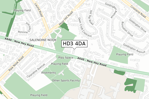
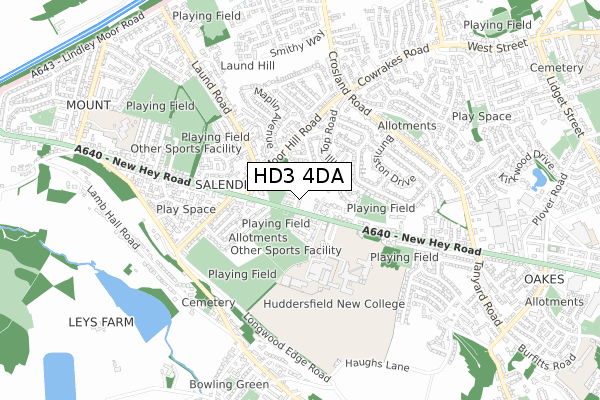
HD3 4DA is located in the Lindley electoral ward, within the metropolitan district of Kirklees and the English Parliamentary constituency of Colne Valley. The Sub Integrated Care Board (ICB) Location is NHS West Yorkshire ICB - X2C4Y and the police force is West Yorkshire. This postcode has been in use since April 2020.


GetTheData
Source: OS Open Zoomstack (Ordnance Survey)
Licence: Open Government Licence (requires attribution)
Attribution: Contains OS data © Crown copyright and database right 2025
Source: Open Postcode Geo
Licence: Open Government Licence (requires attribution)
Attribution: Contains OS data © Crown copyright and database right 2025; Contains Royal Mail data © Royal Mail copyright and database right 2025; Source: Office for National Statistics licensed under the Open Government Licence v.3.0
| Easting | 410670 |
| Northing | 417789 |
| Latitude | 53.656503 |
| Longitude | -1.840029 |
GetTheData
Source: Open Postcode Geo
Licence: Open Government Licence
| Country | England |
| Postcode District | HD3 |
➜ See where HD3 is on a map ➜ Where is Huddersfield? | |
GetTheData
Source: Land Registry Price Paid Data
Licence: Open Government Licence
| Ward | Lindley |
| Constituency | Colne Valley |
GetTheData
Source: ONS Postcode Database
Licence: Open Government Licence
| New Hey Rd Dunsmore Drive (New Hey Road) | Salendine Nook | 58m |
| New Hey Rd Dunsmore Drive (New Hey Road) | Salendine Nook | 114m |
| New Hey Rd Celandine Ave (New Hey Road) | Salendine Nook | 136m |
| New Hey Rd Celandine Ave (New Hey Road) | Salendine Nook | 164m |
| Moor Hill Rd Maplin Avenue (Moor Hill Road) | Salendine Nook | 170m |
| Lockwood Station | 3.5km |
| Huddersfield Station | 3.8km |
| Slaithwaite Station | 4.6km |
GetTheData
Source: NaPTAN
Licence: Open Government Licence
GetTheData
Source: ONS Postcode Database
Licence: Open Government Licence


➜ Get more ratings from the Food Standards Agency
GetTheData
Source: Food Standards Agency
Licence: FSA terms & conditions
| Last Collection | |||
|---|---|---|---|
| Location | Mon-Fri | Sat | Distance |
| New Hey Road Business Box | 18:30 | 1,070m | |
| Oakes Road | 17:15 | 12:00 | 1,074m |
| Thornhill Road | 17:30 | 12:15 | 1,233m |
GetTheData
Source: Dracos
Licence: Creative Commons Attribution-ShareAlike
The below table lists the International Territorial Level (ITL) codes (formerly Nomenclature of Territorial Units for Statistics (NUTS) codes) and Local Administrative Units (LAU) codes for HD3 4DA:
| ITL 1 Code | Name |
|---|---|
| TLE | Yorkshire and The Humber |
| ITL 2 Code | Name |
| TLE4 | West Yorkshire |
| ITL 3 Code | Name |
| TLE44 | Calderdale and Kirklees |
| LAU 1 Code | Name |
| E08000034 | Kirklees |
GetTheData
Source: ONS Postcode Directory
Licence: Open Government Licence
The below table lists the Census Output Area (OA), Lower Layer Super Output Area (LSOA), and Middle Layer Super Output Area (MSOA) for HD3 4DA:
| Code | Name | |
|---|---|---|
| OA | E00056446 | |
| LSOA | E01011207 | Kirklees 038C |
| MSOA | E02002308 | Kirklees 038 |
GetTheData
Source: ONS Postcode Directory
Licence: Open Government Licence
| HD3 4GR | New Hey Road | 129m |
| HD3 3GQ | Laund Road | 136m |
| HD3 4GS | Dunsmore Drive | 136m |
| HD3 4GP | New Hey Road | 147m |
| HD3 3SG | Deer Croft Crescent | 161m |
| HD3 3GB | Laund Road | 179m |
| HD3 3SQ | Deer Croft Drive | 190m |
| HD3 4GX | Winfield Drive | 196m |
| HD3 3SF | Moorhill Road | 201m |
| HD3 3SJ | Hill Top Road | 202m |
GetTheData
Source: Open Postcode Geo; Land Registry Price Paid Data
Licence: Open Government Licence