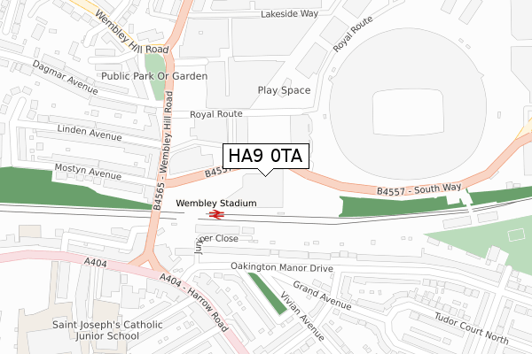
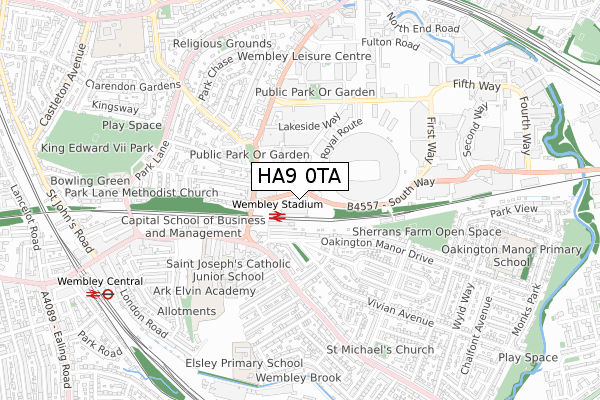
HA9 0TA is located in the Wembley Park electoral ward, within the London borough of Brent and the English Parliamentary constituency of Brent Central. The Sub Integrated Care Board (ICB) Location is NHS North West London ICB - W2U3Z and the police force is Metropolitan Police. This postcode has been in use since September 2019.


GetTheData
Source: OS Open Zoomstack (Ordnance Survey)
Licence: Open Government Licence (requires attribution)
Attribution: Contains OS data © Crown copyright and database right 2025
Source: Open Postcode Geo
Licence: Open Government Licence (requires attribution)
Attribution: Contains OS data © Crown copyright and database right 2025; Contains Royal Mail data © Royal Mail copyright and database right 2025; Source: Office for National Statistics licensed under the Open Government Licence v.3.0
| Easting | 519100 |
| Northing | 185400 |
| Latitude | 51.554925 |
| Longitude | -0.283474 |
GetTheData
Source: Open Postcode Geo
Licence: Open Government Licence
| Country | England |
| Postcode District | HA9 |
➜ See where HA9 is on a map ➜ Where is Wembley? | |
GetTheData
Source: Land Registry Price Paid Data
Licence: Open Government Licence
| Ward | Wembley Park |
| Constituency | Brent Central |
GetTheData
Source: ONS Postcode Database
Licence: Open Government Licence
| Wembley Stadium | Wembley | 195m |
| Wembley Stadium (Wembley Hill Road) | Wembley | 200m |
| Wembley Stadium (Wembley Hill Road) | Wembley | 214m |
| Waverley Avenue (Harrow Road) | Wembley | 261m |
| Waverley Avenue (Harrow Road) | Wembley | 275m |
| Wembley Park Underground Station | Wembley Park | 966m |
| Wembley Central Underground Station | Wembley | 971m |
| Stonebridge Park Underground Station | Stonebridge Park | 1,329m |
| North Wembley Underground Station | North Wembley | 1,656m |
| Wembley Stadium Station | 0.2km |
| Wembley Central Station | 0.9km |
| Stonebridge Park Station | 1.3km |
GetTheData
Source: NaPTAN
Licence: Open Government Licence
GetTheData
Source: ONS Postcode Database
Licence: Open Government Licence


➜ Get more ratings from the Food Standards Agency
GetTheData
Source: Food Standards Agency
Licence: FSA terms & conditions
| Last Collection | |||
|---|---|---|---|
| Location | Mon-Fri | Sat | Distance |
| Wembley Hill Road | 17:15 | 12:30 | 230m |
| Wembley Hill Post Office | 18:30 | 12:15 | 269m |
| Ealing Road | 17:45 | 12:00 | 297m |
GetTheData
Source: Dracos
Licence: Creative Commons Attribution-ShareAlike
The below table lists the International Territorial Level (ITL) codes (formerly Nomenclature of Territorial Units for Statistics (NUTS) codes) and Local Administrative Units (LAU) codes for HA9 0TA:
| ITL 1 Code | Name |
|---|---|
| TLI | London |
| ITL 2 Code | Name |
| TLI7 | Outer London - West and North West |
| ITL 3 Code | Name |
| TLI72 | Brent |
| LAU 1 Code | Name |
| E09000005 | Brent |
GetTheData
Source: ONS Postcode Directory
Licence: Open Government Licence
The below table lists the Census Output Area (OA), Lower Layer Super Output Area (LSOA), and Middle Layer Super Output Area (MSOA) for HA9 0TA:
| Code | Name | |
|---|---|---|
| OA | E00002982 | |
| LSOA | E01000617 | Brent 017C |
| MSOA | E02000109 | Brent 017 |
GetTheData
Source: ONS Postcode Directory
Licence: Open Government Licence
| HA9 6LU | Oakington Manor Drive | 142m |
| HA9 6LT | Oakington Manor Drive | 203m |
| HA9 8AU | Wembley Hill Road | 213m |
| HA9 8AS | Wembley Hill Road | 218m |
| HA9 6LX | Oakington Manor Drive | 237m |
| HA9 6RF | Vivian Gardens | 244m |
| HA9 6LL | Harrow Road | 250m |
| HA9 6QU | Neeld Parade | 252m |
| HA9 6LR | Neeld Crescent | 252m |
| HA9 6LP | Neeld Crescent | 267m |
GetTheData
Source: Open Postcode Geo; Land Registry Price Paid Data
Licence: Open Government Licence