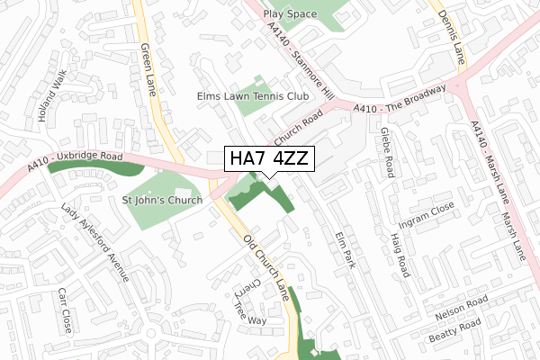
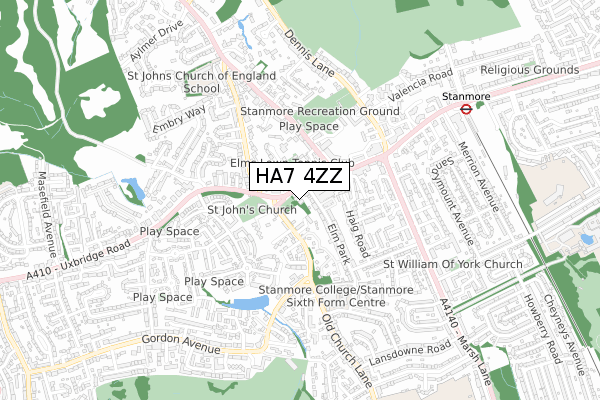
HA7 4ZZ is located in the Stanmore electoral ward, within the London borough of Harrow and the English Parliamentary constituency of Harrow East. The Sub Integrated Care Board (ICB) Location is NHS North West London ICB - W2U3Z and the police force is Metropolitan Police. This postcode has been in use since April 2020.


GetTheData
Source: OS Open Zoomstack (Ordnance Survey)
Licence: Open Government Licence (requires attribution)
Attribution: Contains OS data © Crown copyright and database right 2025
Source: Open Postcode Geo
Licence: Open Government Licence (requires attribution)
Attribution: Contains OS data © Crown copyright and database right 2025; Contains Royal Mail data © Royal Mail copyright and database right 2025; Source: Office for National Statistics licensed under the Open Government Licence v.3.0
| Easting | 516885 |
| Northing | 192183 |
| Latitude | 51.616350 |
| Longitude | -0.313152 |
GetTheData
Source: Open Postcode Geo
Licence: Open Government Licence
| Country | England |
| Postcode District | HA7 |
➜ See where HA7 is on a map ➜ Where is Stanmore? | |
GetTheData
Source: Land Registry Price Paid Data
Licence: Open Government Licence
| Ward | Stanmore |
| Constituency | Harrow East |
GetTheData
Source: ONS Postcode Database
Licence: Open Government Licence
| Stanmore Hill (Church Road) | Stanmore | 79m |
| Old Church Lane | Stanmore | 90m |
| Stanmore Church | Stanmore | 93m |
| Stanmore Church | Stanmore | 94m |
| Old Church Lane | Stanmore | 112m |
| Stanmore Underground Station | Stanmore | 788m |
| Canons Park Underground Station | Canons Park | 1,601m |
| Harrow & Wealdstone Station | 3.1km |
| Headstone Lane Station | 3.4km |
| Kenton Station | 3.9km |
GetTheData
Source: NaPTAN
Licence: Open Government Licence
GetTheData
Source: ONS Postcode Database
Licence: Open Government Licence


➜ Get more ratings from the Food Standards Agency
GetTheData
Source: Food Standards Agency
Licence: FSA terms & conditions
| Last Collection | |||
|---|---|---|---|
| Location | Mon-Fri | Sat | Distance |
| Marsh Lane | 17:00 | 11:45 | 361m |
| Stanmore Hill | 18:00 | 13:00 | 704m |
| St Andrews Drive | 18:15 | 12:45 | 837m |
GetTheData
Source: Dracos
Licence: Creative Commons Attribution-ShareAlike
The below table lists the International Territorial Level (ITL) codes (formerly Nomenclature of Territorial Units for Statistics (NUTS) codes) and Local Administrative Units (LAU) codes for HA7 4ZZ:
| ITL 1 Code | Name |
|---|---|
| TLI | London |
| ITL 2 Code | Name |
| TLI7 | Outer London - West and North West |
| ITL 3 Code | Name |
| TLI74 | Harrow and Hillingdon |
| LAU 1 Code | Name |
| E09000015 | Harrow |
GetTheData
Source: ONS Postcode Directory
Licence: Open Government Licence
The below table lists the Census Output Area (OA), Lower Layer Super Output Area (LSOA), and Middle Layer Super Output Area (MSOA) for HA7 4ZZ:
| Code | Name | |
|---|---|---|
| OA | E00171097 | |
| LSOA | E01002226 | Harrow 001D |
| MSOA | E02000433 | Harrow 001 |
GetTheData
Source: ONS Postcode Directory
Licence: Open Government Licence
| HA7 4AH | Church Road | 40m |
| HA7 4AB | Church Road | 84m |
| HA7 4FE | Pynnacles Close | 87m |
| HA7 2SD | Tudor Well Close | 91m |
| HA7 2QX | Old Church Lane | 93m |
| HA7 4DF | Church Road | 100m |
| HA7 4BJ | Elm Park | 112m |
| HA7 4FD | Church Road | 115m |
| HA7 4FF | Pynnacles Close | 119m |
| HA7 2QU | Old Church Lane | 121m |
GetTheData
Source: Open Postcode Geo; Land Registry Price Paid Data
Licence: Open Government Licence