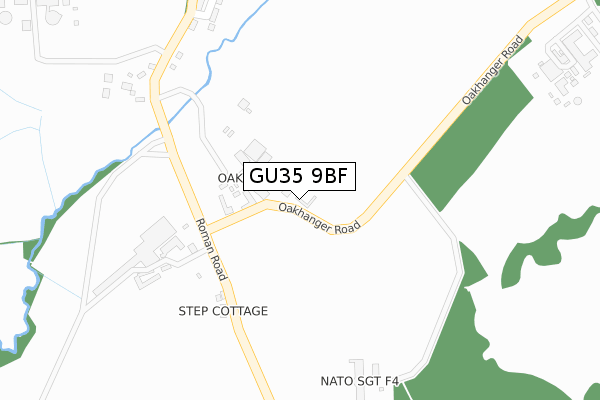
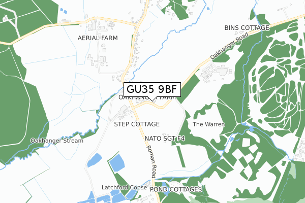
GU35 9BF is located in the Binsted, Bentley & Selborne electoral ward, within the local authority district of East Hampshire and the English Parliamentary constituency of East Hampshire. The Sub Integrated Care Board (ICB) Location is NHS Hampshire and Isle of Wight ICB - D9Y0V and the police force is Hampshire. This postcode has been in use since January 2018.


GetTheData
Source: OS Open Zoomstack (Ordnance Survey)
Licence: Open Government Licence (requires attribution)
Attribution: Contains OS data © Crown copyright and database right 2025
Source: Open Postcode Geo
Licence: Open Government Licence (requires attribution)
Attribution: Contains OS data © Crown copyright and database right 2025; Contains Royal Mail data © Royal Mail copyright and database right 2025; Source: Office for National Statistics licensed under the Open Government Licence v.3.0
| Easting | 477084 |
| Northing | 135348 |
| Latitude | 51.112247 |
| Longitude | -0.900182 |
GetTheData
Source: Open Postcode Geo
Licence: Open Government Licence
| Country | England |
| Postcode District | GU35 |
➜ See where GU35 is on a map | |
GetTheData
Source: Land Registry Price Paid Data
Licence: Open Government Licence
| Ward | Binsted, Bentley & Selborne |
| Constituency | East Hampshire |
GetTheData
Source: ONS Postcode Database
Licence: Open Government Licence
| The Red Lion (Roman Road) | Oakhanger | 598m |
| The Red Lion (Roman Road) | Oakhanger | 609m |
| Oakhanger Church (Roman Road) | Shortheath | 887m |
| Oakhanger Church (Roman Road) | Shortheath | 895m |
| Hogmoor Caravan Site (Hogmoor Road) | Bordon | 1,494m |
| Alton Station | 6.4km |
GetTheData
Source: NaPTAN
Licence: Open Government Licence
GetTheData
Source: ONS Postcode Database
Licence: Open Government Licence


➜ Get more ratings from the Food Standards Agency
GetTheData
Source: Food Standards Agency
Licence: FSA terms & conditions
| Last Collection | |||
|---|---|---|---|
| Location | Mon-Fri | Sat | Distance |
| Oakhanger Old Post Office | 16:30 | 09:00 | 1,308m |
| Bolley Avenue | 16:30 | 11:30 | 1,726m |
| Bakers Corner | 16:15 | 07:45 | 2,429m |
GetTheData
Source: Dracos
Licence: Creative Commons Attribution-ShareAlike
The below table lists the International Territorial Level (ITL) codes (formerly Nomenclature of Territorial Units for Statistics (NUTS) codes) and Local Administrative Units (LAU) codes for GU35 9BF:
| ITL 1 Code | Name |
|---|---|
| TLJ | South East (England) |
| ITL 2 Code | Name |
| TLJ3 | Hampshire and Isle of Wight |
| ITL 3 Code | Name |
| TLJ36 | Central Hampshire |
| LAU 1 Code | Name |
| E07000085 | East Hampshire |
GetTheData
Source: ONS Postcode Directory
Licence: Open Government Licence
The below table lists the Census Output Area (OA), Lower Layer Super Output Area (LSOA), and Middle Layer Super Output Area (MSOA) for GU35 9BF:
| Code | Name | |
|---|---|---|
| OA | E00115055 | |
| LSOA | E01022630 | East Hampshire 008A |
| MSOA | E02004704 | East Hampshire 008 |
GetTheData
Source: ONS Postcode Directory
Licence: Open Government Licence
| GU35 9JA | Oakhanger Road | 81m |
| GU35 9JB | 198m | |
| GU35 9JE | 323m | |
| GU35 9LA | Lions Field | 365m |
| GU35 9JF | 391m | |
| GU35 9JG | 495m | |
| GU35 9JQ | 611m | |
| GU35 9JH | 685m | |
| GU35 9JD | 722m | |
| GU35 9JU | 741m |
GetTheData
Source: Open Postcode Geo; Land Registry Price Paid Data
Licence: Open Government Licence