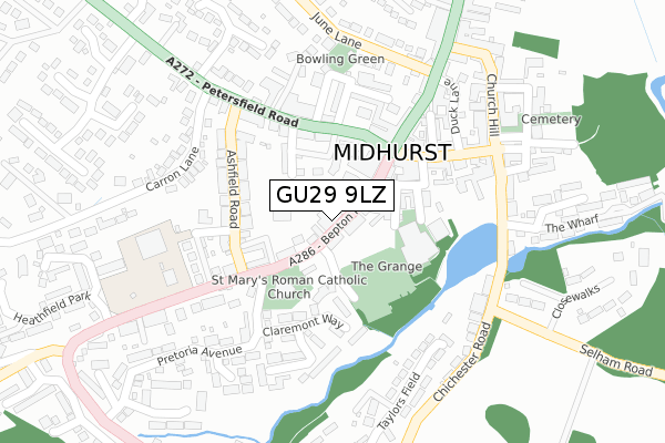
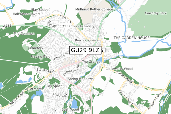
GU29 9LZ is located in the Midhurst electoral ward, within the local authority district of Chichester and the English Parliamentary constituency of Chichester. The Sub Integrated Care Board (ICB) Location is NHS Sussex ICB - 70F and the police force is Sussex. This postcode has been in use since February 2021.


GetTheData
Source: OS Open Zoomstack (Ordnance Survey)
Licence: Open Government Licence (requires attribution)
Attribution: Contains OS data © Crown copyright and database right 2024
Source: Open Postcode Geo
Licence: Open Government Licence (requires attribution)
Attribution: Contains OS data © Crown copyright and database right 2024; Contains Royal Mail data © Royal Mail copyright and database right 2024; Source: Office for National Statistics licensed under the Open Government Licence v.3.0
| Easting | 488447 |
| Northing | 121333 |
| Latitude | 50.984612 |
| Longitude | -0.741312 |
GetTheData
Source: Open Postcode Geo
Licence: Open Government Licence
| Country | England |
| Postcode District | GU29 |
➜ See where GU29 is on a map ➜ Where is Midhurst? | |
GetTheData
Source: Land Registry Price Paid Data
Licence: Open Government Licence
| Ward | Midhurst |
| Constituency | Chichester |
GetTheData
Source: ONS Postcode Database
Licence: Open Government Licence
| Police Station (Bepton Road) | Midhurst | 66m |
| Budgens Supermarket | Midhurst | 74m |
| Police Station (Bepton Road) | Midhurst | 84m |
| St Mary's Church (Bepton Road) | Midhurst | 93m |
| Grange Centre | Midhurst | 108m |
GetTheData
Source: NaPTAN
Licence: Open Government Licence
GetTheData
Source: ONS Postcode Database
Licence: Open Government Licence


➜ Get more ratings from the Food Standards Agency
GetTheData
Source: Food Standards Agency
Licence: FSA terms & conditions
| Last Collection | |||
|---|---|---|---|
| Location | Mon-Fri | Sat | Distance |
| Midhurst Delivery Office | 18:00 | 12:30 | 146m |
| Orchard Way | 17:00 | 11:15 | 408m |
| North Street Post Office | 17:30 | 12:00 | 472m |
GetTheData
Source: Dracos
Licence: Creative Commons Attribution-ShareAlike
The below table lists the International Territorial Level (ITL) codes (formerly Nomenclature of Territorial Units for Statistics (NUTS) codes) and Local Administrative Units (LAU) codes for GU29 9LZ:
| ITL 1 Code | Name |
|---|---|
| TLJ | South East (England) |
| ITL 2 Code | Name |
| TLJ2 | Surrey, East and West Sussex |
| ITL 3 Code | Name |
| TLJ27 | West Sussex (South West) |
| LAU 1 Code | Name |
| E07000225 | Chichester |
GetTheData
Source: ONS Postcode Directory
Licence: Open Government Licence
The below table lists the Census Output Area (OA), Lower Layer Super Output Area (LSOA), and Middle Layer Super Output Area (MSOA) for GU29 9LZ:
| Code | Name | |
|---|---|---|
| OA | E00160715 | |
| LSOA | E01032717 | Chichester 004F |
| MSOA | E02006564 | Chichester 004 |
GetTheData
Source: ONS Postcode Directory
Licence: Open Government Licence
| GU29 9LU | Bepton Road | 34m |
| GU29 9FL | Bepton Road | 65m |
| GU29 9HD | Bepton Road | 76m |
| GU29 9NE | Russell Court | 93m |
| GU29 9JJ | The Rockeries | 98m |
| GU29 9NB | Bepton Road | 107m |
| GU29 9LT | Grange Road | 111m |
| GU29 9JW | Cobden Road | 115m |
| GU29 9QL | Bepton Road | 130m |
| GU29 9JT | Ashfield Road | 135m |
GetTheData
Source: Open Postcode Geo; Land Registry Price Paid Data
Licence: Open Government Licence