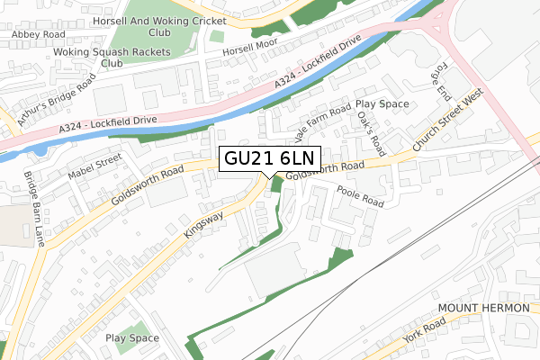
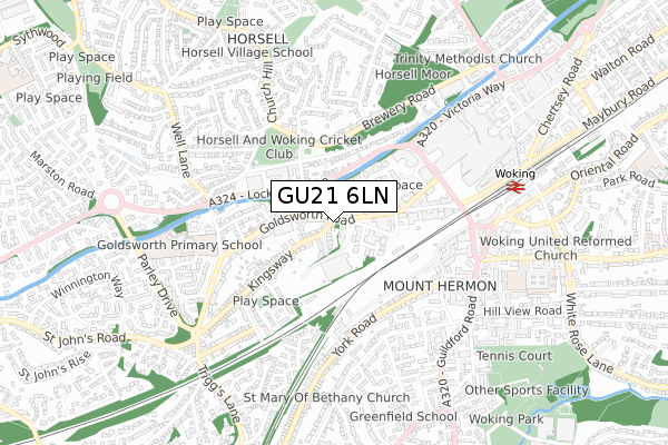
GU21 6LN is located in the St John's electoral ward, within the local authority district of Woking and the English Parliamentary constituency of Woking. The Sub Integrated Care Board (ICB) Location is NHS Surrey Heartlands ICB - 92A and the police force is Surrey. This postcode has been in use since June 2002.


GetTheData
Source: OS Open Zoomstack (Ordnance Survey)
Licence: Open Government Licence (requires attribution)
Attribution: Contains OS data © Crown copyright and database right 2024
Source: Open Postcode Geo
Licence: Open Government Licence (requires attribution)
Attribution: Contains OS data © Crown copyright and database right 2024; Contains Royal Mail data © Royal Mail copyright and database right 2024; Source: Office for National Statistics licensed under the Open Government Licence v.3.0
| Easting | 499936 |
| Northing | 158519 |
| Latitude | 51.317013 |
| Longitude | -0.567394 |
GetTheData
Source: Open Postcode Geo
Licence: Open Government Licence
| Country | England |
| Postcode District | GU21 |
➜ See where GU21 is on a map ➜ Where is Woking? | |
GetTheData
Source: Land Registry Price Paid Data
Licence: Open Government Licence
Elevation or altitude of GU21 6LN as distance above sea level:
| Metres | Feet | |
|---|---|---|
| Elevation | 30m | 98ft |
Elevation is measured from the approximate centre of the postcode, to the nearest point on an OS contour line from OS Terrain 50, which has contour spacing of ten vertical metres.
➜ How high above sea level am I? Find the elevation of your current position using your device's GPS.
GetTheData
Source: Open Postcode Elevation
Licence: Open Government Licence
| Ward | St John's |
| Constituency | Woking |
GetTheData
Source: ONS Postcode Database
Licence: Open Government Licence
| Kingsway (Goldsworth Road) | Woking | 47m |
| Kingsway (Goldsworth Road) | Woking | 120m |
| Morrisons (Goldsworth Road) | Woking | 168m |
| Poole Road | Woking | 201m |
| Bridge Barn Lane (Goldsworth Road) | Woking | 324m |
| Woking Station | 0.7km |
| Worplesdon Station | 3.3km |
| West Byfleet Station | 5km |
GetTheData
Source: NaPTAN
Licence: Open Government Licence
GetTheData
Source: ONS Postcode Database
Licence: Open Government Licence


➜ Get more ratings from the Food Standards Agency
GetTheData
Source: Food Standards Agency
Licence: FSA terms & conditions
| Last Collection | |||
|---|---|---|---|
| Location | Mon-Fri | Sat | Distance |
| Goldsworth Road | 18:00 | 12:15 | 207m |
| The Kinsway | 17:00 | 12:00 | 284m |
| Horsell Moor | 17:15 | 12:00 | 314m |
GetTheData
Source: Dracos
Licence: Creative Commons Attribution-ShareAlike
The below table lists the International Territorial Level (ITL) codes (formerly Nomenclature of Territorial Units for Statistics (NUTS) codes) and Local Administrative Units (LAU) codes for GU21 6LN:
| ITL 1 Code | Name |
|---|---|
| TLJ | South East (England) |
| ITL 2 Code | Name |
| TLJ2 | Surrey, East and West Sussex |
| ITL 3 Code | Name |
| TLJ25 | West Surrey |
| LAU 1 Code | Name |
| E07000217 | Woking |
GetTheData
Source: ONS Postcode Directory
Licence: Open Government Licence
The below table lists the Census Output Area (OA), Lower Layer Super Output Area (LSOA), and Middle Layer Super Output Area (MSOA) for GU21 6LN:
| Code | Name | |
|---|---|---|
| OA | E00157791 | |
| LSOA | E01030954 | Woking 008A |
| MSOA | E02006463 | Woking 008 |
GetTheData
Source: ONS Postcode Directory
Licence: Open Government Licence
| GU21 6EH | Kingsway | 40m |
| GU21 6NH | Goldsworth Road | 78m |
| GU21 6NU | Kingsway | 80m |
| GU21 6LS | Goldsworth Road | 86m |
| GU21 6LF | Goldsworth Road | 88m |
| GU21 6NX | Kingsway Avenue | 102m |
| GU21 6DX | Wilbury Road | 110m |
| GU21 6NP | Goldsworth Road | 113m |
| GU21 6LW | Goldsworth Road | 124m |
| GU21 6LX | Stepbridge Path | 127m |
GetTheData
Source: Open Postcode Geo; Land Registry Price Paid Data
Licence: Open Government Licence