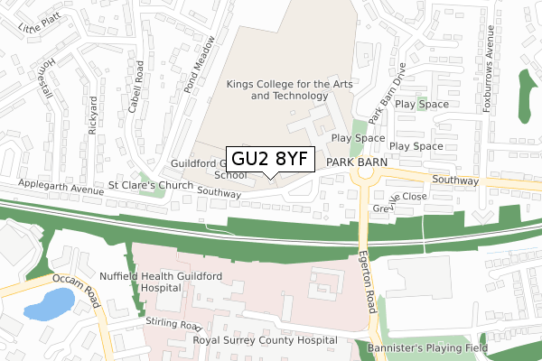
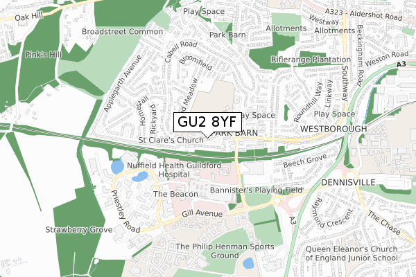
GU2 8YF is located in the Westborough electoral ward, within the local authority district of Guildford and the English Parliamentary constituency of Guildford. The Sub Integrated Care Board (ICB) Location is NHS Surrey Heartlands ICB - 92A and the police force is Surrey. This postcode has been in use since January 2020.


GetTheData
Source: OS Open Zoomstack (Ordnance Survey)
Licence: Open Government Licence (requires attribution)
Attribution: Contains OS data © Crown copyright and database right 2025
Source: Open Postcode Geo
Licence: Open Government Licence (requires attribution)
Attribution: Contains OS data © Crown copyright and database right 2025; Contains Royal Mail data © Royal Mail copyright and database right 2025; Source: Office for National Statistics licensed under the Open Government Licence v.3.0
| Easting | 497236 |
| Northing | 150320 |
| Latitude | 51.243775 |
| Longitude | -0.608333 |
GetTheData
Source: Open Postcode Geo
Licence: Open Government Licence
| Country | England |
| Postcode District | GU2 |
➜ See where GU2 is on a map ➜ Where is Guildford? | |
GetTheData
Source: Land Registry Price Paid Data
Licence: Open Government Licence
| Ward | Westborough |
| Constituency | Guildford |
GetTheData
Source: ONS Postcode Database
Licence: Open Government Licence
| Park Barn School (Southway) | Park Barn | 83m |
| Park Barn School (Southway) | Park Barn | 97m |
| Shops (Southway) | Park Barn | 118m |
| Shops (Southway) | Park Barn | 127m |
| Bargate Court (Park Barn Close) | Park Barn | 242m |
| Guildford Station | 2.1km |
| London Road (Guildford) Station | 3km |
| Wanborough Station | 4.1km |
GetTheData
Source: NaPTAN
Licence: Open Government Licence
GetTheData
Source: ONS Postcode Database
Licence: Open Government Licence


➜ Get more ratings from the Food Standards Agency
GetTheData
Source: Food Standards Agency
Licence: FSA terms & conditions
| Last Collection | |||
|---|---|---|---|
| Location | Mon-Fri | Sat | Distance |
| Park Barn Post Office | 16:45 | 12:00 | 188m |
| Egerton Close | 17:15 | 11:45 | 294m |
| Tesco Store | 18:30 | 12:15 | 376m |
GetTheData
Source: Dracos
Licence: Creative Commons Attribution-ShareAlike
The below table lists the International Territorial Level (ITL) codes (formerly Nomenclature of Territorial Units for Statistics (NUTS) codes) and Local Administrative Units (LAU) codes for GU2 8YF:
| ITL 1 Code | Name |
|---|---|
| TLJ | South East (England) |
| ITL 2 Code | Name |
| TLJ2 | Surrey, East and West Sussex |
| ITL 3 Code | Name |
| TLJ25 | West Surrey |
| LAU 1 Code | Name |
| E07000209 | Guildford |
GetTheData
Source: ONS Postcode Directory
Licence: Open Government Licence
The below table lists the Census Output Area (OA), Lower Layer Super Output Area (LSOA), and Middle Layer Super Output Area (MSOA) for GU2 8YF:
| Code | Name | |
|---|---|---|
| OA | E00155537 | |
| LSOA | E01030496 | Guildford 012C |
| MSOA | E02006355 | Guildford 012 |
GetTheData
Source: ONS Postcode Directory
Licence: Open Government Licence
| GU2 8DT | Southway | 67m |
| GU2 8DS | Purbeck Court | 153m |
| GU2 8DX | Southway Court | 183m |
| GU2 8DY | Park Barn Parade | 185m |
| GU2 8DP | Anston Court | 203m |
| GU2 8EF | Bargate Court | 211m |
| GU2 8LF | Pond Meadow | 223m |
| GU2 8LE | Pond Meadow | 234m |
| GU2 8EG | Hopton Court | 243m |
| GU2 8EA | Shackleton Walk | 255m |
GetTheData
Source: Open Postcode Geo; Land Registry Price Paid Data
Licence: Open Government Licence