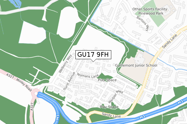
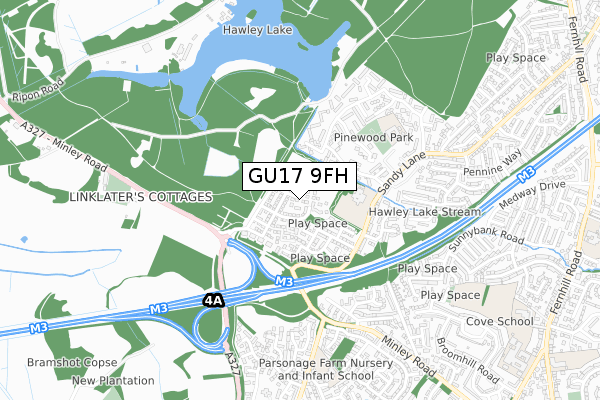
GU17 9FH is located in the Blackwater and Hawley electoral ward, within the local authority district of Hart and the English Parliamentary constituency of Aldershot. The Sub Integrated Care Board (ICB) Location is NHS Frimley ICB - D4U1Y and the police force is Hampshire. This postcode has been in use since December 2019.


GetTheData
Source: OS Open Zoomstack (Ordnance Survey)
Licence: Open Government Licence (requires attribution)
Attribution: Contains OS data © Crown copyright and database right 2024
Source: Open Postcode Geo
Licence: Open Government Licence (requires attribution)
Attribution: Contains OS data © Crown copyright and database right 2024; Contains Royal Mail data © Royal Mail copyright and database right 2024; Source: Office for National Statistics licensed under the Open Government Licence v.3.0
| Easting | 484274 |
| Northing | 156915 |
| Latitude | 51.305126 |
| Longitude | -0.792432 |
GetTheData
Source: Open Postcode Geo
Licence: Open Government Licence
| Country | England |
| Postcode District | GU17 |
➜ See where GU17 is on a map ➜ Where is Farnborough? | |
GetTheData
Source: Land Registry Price Paid Data
Licence: Open Government Licence
| Ward | Blackwater And Hawley |
| Constituency | Aldershot |
GetTheData
Source: ONS Postcode Database
Licence: Open Government Licence
| Pinewood School (Pinewood Park) | Cove | 363m |
| Bartons Way (Pinewood Park) | Cove | 464m |
| Nightingale Close (Minley Road) | Cove | 466m |
| Hill Corner Mobile Homes (Sandy Lane) | Cove | 484m |
| Nightingale Close (Minley Road) | Cove | 505m |
| Farnborough (Main) Station | 2.7km |
| Fleet Station | 3.1km |
| Blackwater Station | 3.1km |
GetTheData
Source: NaPTAN
Licence: Open Government Licence
GetTheData
Source: ONS Postcode Database
Licence: Open Government Licence


➜ Get more ratings from the Food Standards Agency
GetTheData
Source: Food Standards Agency
Licence: FSA terms & conditions
| Last Collection | |||
|---|---|---|---|
| Location | Mon-Fri | Sat | Distance |
| Pinewood Park | 16:30 | 11:30 | 397m |
| Guillemont Fields | 16:30 | 11:30 | 512m |
| Fleet Road | 16:30 | 11:15 | 1,220m |
GetTheData
Source: Dracos
Licence: Creative Commons Attribution-ShareAlike
The below table lists the International Territorial Level (ITL) codes (formerly Nomenclature of Territorial Units for Statistics (NUTS) codes) and Local Administrative Units (LAU) codes for GU17 9FH:
| ITL 1 Code | Name |
|---|---|
| TLJ | South East (England) |
| ITL 2 Code | Name |
| TLJ3 | Hampshire and Isle of Wight |
| ITL 3 Code | Name |
| TLJ37 | North Hampshire |
| LAU 1 Code | Name |
| E07000089 | Hart |
GetTheData
Source: ONS Postcode Directory
Licence: Open Government Licence
The below table lists the Census Output Area (OA), Lower Layer Super Output Area (LSOA), and Middle Layer Super Output Area (MSOA) for GU17 9FH:
| Code | Name | |
|---|---|---|
| OA | E00116093 | |
| LSOA | E01022846 | Hart 003A |
| MSOA | E02004753 | Hart 003 |
GetTheData
Source: ONS Postcode Directory
Licence: Open Government Licence
| GU14 9LA | Sandy Lane | 290m |
| GU14 9JT | Pinewood Park | 321m |
| GU14 9JR | The Potteries | 346m |
| GU14 9LJ | Pinewood Park | 349m |
| GU14 9JU | Pinewood Park | 356m |
| GU14 9QX | Kingfisher Close | 399m |
| GU14 9LL | Bartons Way | 424m |
| GU14 9QH | Nightingale Close | 430m |
| GU14 9UX | Ruth Close | 437m |
| GU14 9JS | Pinewood Park | 437m |
GetTheData
Source: Open Postcode Geo; Land Registry Price Paid Data
Licence: Open Government Licence