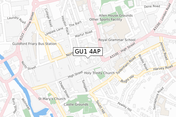
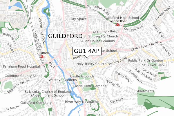
GU1 4AP is located in the Castle electoral ward, within the local authority district of Guildford and the English Parliamentary constituency of Guildford. The Sub Integrated Care Board (ICB) Location is NHS Surrey Heartlands ICB - 92A and the police force is Surrey. This postcode has been in use since January 1980.


GetTheData
Source: OS Open Zoomstack (Ordnance Survey)
Licence: Open Government Licence (requires attribution)
Attribution: Contains OS data © Crown copyright and database right 2025
Source: Open Postcode Geo
Licence: Open Government Licence (requires attribution)
Attribution: Contains OS data © Crown copyright and database right 2025; Contains Royal Mail data © Royal Mail copyright and database right 2025; Source: Office for National Statistics licensed under the Open Government Licence v.3.0
| Easting | 499821 |
| Northing | 149564 |
| Latitude | 51.236537 |
| Longitude | -0.571543 |
GetTheData
Source: Open Postcode Geo
Licence: Open Government Licence
| Country | England |
| Postcode District | GU1 |
➜ See where GU1 is on a map ➜ Where is Guildford? | |
GetTheData
Source: Land Registry Price Paid Data
Licence: Open Government Licence
Elevation or altitude of GU1 4AP as distance above sea level:
| Metres | Feet | |
|---|---|---|
| Elevation | 50m | 164ft |
Elevation is measured from the approximate centre of the postcode, to the nearest point on an OS contour line from OS Terrain 50, which has contour spacing of ten vertical metres.
➜ How high above sea level am I? Find the elevation of your current position using your device's GPS.
GetTheData
Source: Open Postcode Elevation
Licence: Open Government Licence
| Ward | Castle |
| Constituency | Guildford |
GetTheData
Source: ONS Postcode Database
Licence: Open Government Licence
| Library (North Street) | Guildford | 56m |
| Library (North Street) | Guildford | 70m |
| Library (North Street) | Guildford | 78m |
| Falcon Road (York Road) | Guildford | 373m |
| Millbrook | Guildford | 380m |
| Guildford Station | 0.6km |
| London Road (Guildford) Station | 0.6km |
| Shalford (Surrey) Station | 2.5km |
GetTheData
Source: NaPTAN
Licence: Open Government Licence
| Median download speed | 80.0Mbps |
| Average download speed | 60.4Mbps |
| Maximum download speed | 80.00Mbps |
| Median upload speed | 20.0Mbps |
| Average upload speed | 14.3Mbps |
| Maximum upload speed | 20.00Mbps |
GetTheData
Source: Ofcom
Licence: Ofcom Terms of Use (requires attribution)
GetTheData
Source: ONS Postcode Database
Licence: Open Government Licence


➜ Get more ratings from the Food Standards Agency
GetTheData
Source: Food Standards Agency
Licence: FSA terms & conditions
| Last Collection | |||
|---|---|---|---|
| Location | Mon-Fri | Sat | Distance |
| Ram Corner | 18:45 | 11:45 | 62m |
| Guildford Post Office | 19:00 | 13:00 | 72m |
| Haydon Place | 18:30 | 12:00 | 93m |
GetTheData
Source: Dracos
Licence: Creative Commons Attribution-ShareAlike
The below table lists the International Territorial Level (ITL) codes (formerly Nomenclature of Territorial Units for Statistics (NUTS) codes) and Local Administrative Units (LAU) codes for GU1 4AP:
| ITL 1 Code | Name |
|---|---|
| TLJ | South East (England) |
| ITL 2 Code | Name |
| TLJ2 | Surrey, East and West Sussex |
| ITL 3 Code | Name |
| TLJ25 | West Surrey |
| LAU 1 Code | Name |
| E07000209 | Guildford |
GetTheData
Source: ONS Postcode Directory
Licence: Open Government Licence
The below table lists the Census Output Area (OA), Lower Layer Super Output Area (LSOA), and Middle Layer Super Output Area (MSOA) for GU1 4AP:
| Code | Name | |
|---|---|---|
| OA | E00155334 | |
| LSOA | E01030455 | Guildford 013E |
| MSOA | E02006356 | Guildford 013 |
GetTheData
Source: ONS Postcode Directory
Licence: Open Government Licence
| GU1 4AB | North Street | 37m |
| GU1 4AW | North Street | 60m |
| GU1 3AD | High Street | 71m |
| GU1 3HJ | High Street | 80m |
| GU1 4JS | Chertsey Street | 88m |
| GU1 4LB | Market Street | 94m |
| GU1 3AA | High Street | 97m |
| GU1 4LH | Ward Street | 106m |
| GU1 3HW | High Street | 106m |
| GU1 3HQ | High Street | 115m |
GetTheData
Source: Open Postcode Geo; Land Registry Price Paid Data
Licence: Open Government Licence