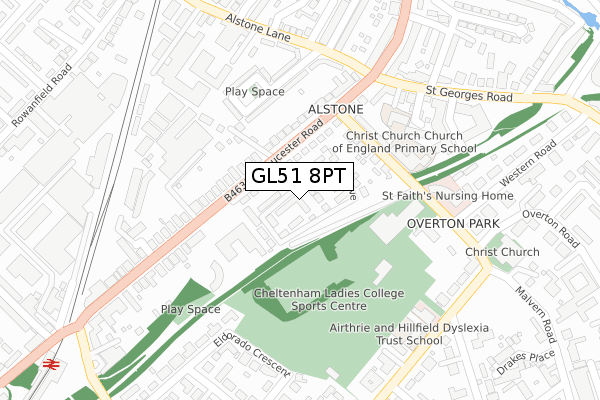
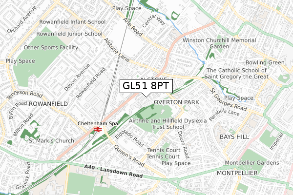
GL51 8PT is located in the St Peter's electoral ward, within the local authority district of Cheltenham and the English Parliamentary constituency of Cheltenham. The Sub Integrated Care Board (ICB) Location is NHS Gloucestershire ICB - 11M and the police force is Gloucestershire. This postcode has been in use since December 2018.


GetTheData
Source: OS Open Zoomstack (Ordnance Survey)
Licence: Open Government Licence (requires attribution)
Attribution: Contains OS data © Crown copyright and database right 2025
Source: Open Postcode Geo
Licence: Open Government Licence (requires attribution)
Attribution: Contains OS data © Crown copyright and database right 2025; Contains Royal Mail data © Royal Mail copyright and database right 2025; Source: Office for National Statistics licensed under the Open Government Licence v.3.0
| Easting | 393649 |
| Northing | 222372 |
| Latitude | 51.899862 |
| Longitude | -2.093703 |
GetTheData
Source: Open Postcode Geo
Licence: Open Government Licence
| Country | England |
| Postcode District | GL51 |
➜ See where GL51 is on a map ➜ Where is Cheltenham? | |
GetTheData
Source: Land Registry Price Paid Data
Licence: Open Government Licence
| Ward | St Peter's |
| Constituency | Cheltenham |
GetTheData
Source: ONS Postcode Database
Licence: Open Government Licence
| The Vineyards (Gloucester Road) | Alstone | 145m |
| The Vineyards (Gloucester Road) | Alstone | 155m |
| King's Arms (Gloucester Road) | Alstone | 195m |
| King's Arms (Gloucester Road) | Alstone | 202m |
| St George's Gate | Alstone | 254m |
| Cheltenham Spa Station | 0.5km |
GetTheData
Source: NaPTAN
Licence: Open Government Licence
| Percentage of properties with Next Generation Access | 100.0% |
| Percentage of properties with Superfast Broadband | 100.0% |
| Percentage of properties with Ultrafast Broadband | 100.0% |
| Percentage of properties with Full Fibre Broadband | 0.0% |
Superfast Broadband is between 30Mbps and 300Mbps
Ultrafast Broadband is > 300Mbps
| Percentage of properties unable to receive 2Mbps | 0.0% |
| Percentage of properties unable to receive 5Mbps | 0.0% |
| Percentage of properties unable to receive 10Mbps | 0.0% |
| Percentage of properties unable to receive 30Mbps | 0.0% |
GetTheData
Source: Ofcom
Licence: Ofcom Terms of Use (requires attribution)
GetTheData
Source: ONS Postcode Database
Licence: Open Government Licence


➜ Get more ratings from the Food Standards Agency
GetTheData
Source: Food Standards Agency
Licence: FSA terms & conditions
| Last Collection | |||
|---|---|---|---|
| Location | Mon-Fri | Sat | Distance |
| Malvern Road (Glenlee) | 17:30 | 12:45 | 253m |
| Gloucester Road | 17:30 | 12:45 | 386m |
| Lansdown Terrace | 17:30 | 12:45 | 479m |
GetTheData
Source: Dracos
Licence: Creative Commons Attribution-ShareAlike
The below table lists the International Territorial Level (ITL) codes (formerly Nomenclature of Territorial Units for Statistics (NUTS) codes) and Local Administrative Units (LAU) codes for GL51 8PT:
| ITL 1 Code | Name |
|---|---|
| TLK | South West (England) |
| ITL 2 Code | Name |
| TLK1 | Gloucestershire, Wiltshire and Bath/Bristol area |
| ITL 3 Code | Name |
| TLK13 | Gloucestershire CC |
| LAU 1 Code | Name |
| E07000078 | Cheltenham |
GetTheData
Source: ONS Postcode Directory
Licence: Open Government Licence
The below table lists the Census Output Area (OA), Lower Layer Super Output Area (LSOA), and Middle Layer Super Output Area (MSOA) for GL51 8PT:
| Code | Name | |
|---|---|---|
| OA | E00112582 | |
| LSOA | E01022156 | Cheltenham 007E |
| MSOA | E02004606 | Cheltenham 007 |
GetTheData
Source: ONS Postcode Directory
Licence: Open Government Licence
| GL51 8NQ | Gloucester Road | 123m |
| GL50 2NT | Christchurch Villas | 136m |
| GL51 8FN | Vineyards Lane | 142m |
| GL51 8NG | Gloucester Road | 154m |
| GL50 2NS | Christchurch Terrace | 166m |
| GL51 8NR | Gloucester Road | 175m |
| GL51 8PF | Gloucester Road | 179m |
| GL51 8NB | Gloucester Road | 204m |
| GL51 8EQ | Pates Avenue | 207m |
| GL50 3EL | St Georges Road | 241m |
GetTheData
Source: Open Postcode Geo; Land Registry Price Paid Data
Licence: Open Government Licence