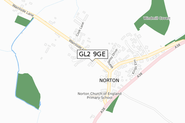
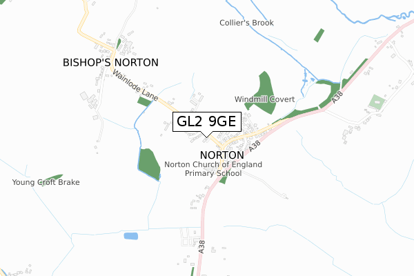
GL2 9GE is located in the Severn Vale South electoral ward, within the local authority district of Tewkesbury and the English Parliamentary constituency of Tewkesbury. The Sub Integrated Care Board (ICB) Location is NHS Gloucestershire ICB - 11M and the police force is Gloucestershire. This postcode has been in use since August 2019.


GetTheData
Source: OS Open Zoomstack (Ordnance Survey)
Licence: Open Government Licence (requires attribution)
Attribution: Contains OS data © Crown copyright and database right 2024
Source: Open Postcode Geo
Licence: Open Government Licence (requires attribution)
Attribution: Contains OS data © Crown copyright and database right 2024; Contains Royal Mail data © Royal Mail copyright and database right 2024; Source: Office for National Statistics licensed under the Open Government Licence v.3.0
| Easting | 385528 |
| Northing | 224163 |
| Latitude | 51.915812 |
| Longitude | -2.211809 |
GetTheData
Source: Open Postcode Geo
Licence: Open Government Licence
| Country | England |
| Postcode District | GL2 |
➜ See where GL2 is on a map ➜ Where is Norton? | |
GetTheData
Source: Land Registry Price Paid Data
Licence: Open Government Licence
| Ward | Severn Vale South |
| Constituency | Tewkesbury |
GetTheData
Source: ONS Postcode Database
Licence: Open Government Licence
3, BRAMBLE CLOSE, NORTON, GLOUCESTER, GL2 9GE 2019 23 AUG £500,000 |
GetTheData
Source: HM Land Registry Price Paid Data
Licence: Contains HM Land Registry data © Crown copyright and database right 2024. This data is licensed under the Open Government Licence v3.0.
| Village Hall (Old Road) | Norton | 125m |
| Village Hall (Old Road) | Norton | 184m |
| King's Head (Old Road) | Norton | 257m |
| King's Head (Old Road) | Norton | 289m |
| King's Head Inn (A38) | Norton | 303m |
GetTheData
Source: NaPTAN
Licence: Open Government Licence
GetTheData
Source: ONS Postcode Database
Licence: Open Government Licence


➜ Get more ratings from the Food Standards Agency
GetTheData
Source: Food Standards Agency
Licence: FSA terms & conditions
| Last Collection | |||
|---|---|---|---|
| Location | Mon-Fri | Sat | Distance |
| Priors Norton | 17:15 | 08:45 | 54m |
| Down Hatherley | 16:30 | 08:30 | 1,536m |
| Orchard Park | 17:15 | 10:30 | 2,029m |
GetTheData
Source: Dracos
Licence: Creative Commons Attribution-ShareAlike
The below table lists the International Territorial Level (ITL) codes (formerly Nomenclature of Territorial Units for Statistics (NUTS) codes) and Local Administrative Units (LAU) codes for GL2 9GE:
| ITL 1 Code | Name |
|---|---|
| TLK | South West (England) |
| ITL 2 Code | Name |
| TLK1 | Gloucestershire, Wiltshire and Bath/Bristol area |
| ITL 3 Code | Name |
| TLK13 | Gloucestershire CC |
| LAU 1 Code | Name |
| E07000083 | Tewkesbury |
GetTheData
Source: ONS Postcode Directory
Licence: Open Government Licence
The below table lists the Census Output Area (OA), Lower Layer Super Output Area (LSOA), and Middle Layer Super Output Area (MSOA) for GL2 9GE:
| Code | Name | |
|---|---|---|
| OA | E00114102 | |
| LSOA | E01022442 | Tewkesbury 006B |
| MSOA | E02004671 | Tewkesbury 006 |
GetTheData
Source: ONS Postcode Directory
Licence: Open Government Licence
| GL2 9LD | Mandalay Drive | 124m |
| GL2 9LY | Elmside | 130m |
| GL2 9LL | Lyndale Terrace | 168m |
| GL2 9LR | Old Tewkesbury Road | 175m |
| GL2 9LJ | Cold Elms | 193m |
| GL2 9NE | Cook Lane | 213m |
| GL2 9LZ | Kings Elm | 218m |
| GL2 9LP | The Green | 740m |
| GL2 9LN | Wainlode Lane | 793m |
| GL2 9LQ | Tewkesbury Road | 875m |
GetTheData
Source: Open Postcode Geo; Land Registry Price Paid Data
Licence: Open Government Licence