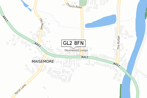
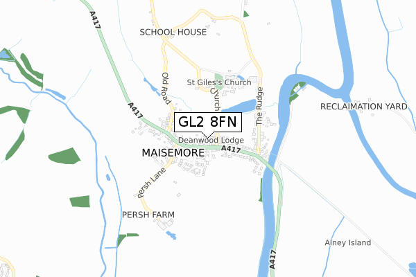
GL2 8FN is located in the Highnam with Haw Bridge electoral ward, within the local authority district of Tewkesbury and the English Parliamentary constituency of Forest of Dean. The Sub Integrated Care Board (ICB) Location is NHS Gloucestershire ICB - 11M and the police force is Gloucestershire. This postcode has been in use since January 2020.


GetTheData
Source: OS Open Zoomstack (Ordnance Survey)
Licence: Open Government Licence (requires attribution)
Attribution: Contains OS data © Crown copyright and database right 2025
Source: Open Postcode Geo
Licence: Open Government Licence (requires attribution)
Attribution: Contains OS data © Crown copyright and database right 2025; Contains Royal Mail data © Royal Mail copyright and database right 2025; Source: Office for National Statistics licensed under the Open Government Licence v.3.0
| Easting | 381328 |
| Northing | 221316 |
| Latitude | 51.890090 |
| Longitude | -2.272718 |
GetTheData
Source: Open Postcode Geo
Licence: Open Government Licence
| Country | England |
| Postcode District | GL2 |
➜ See where GL2 is on a map ➜ Where is Maisemore? | |
GetTheData
Source: Land Registry Price Paid Data
Licence: Open Government Licence
| Ward | Highnam With Haw Bridge |
| Constituency | Forest Of Dean |
GetTheData
Source: ONS Postcode Database
Licence: Open Government Licence
| Persh Lane (A417) | Maisemore | 196m |
| Persh Lane (A417) | Maisemore | 223m |
| The White Hart (A417) | Maisemore | 265m |
| The White Hart (A417) | Maisemore | 324m |
| The White House (Sandhurst Lane) | Sandhurst | 1,503m |
| Gloucester Station | 3.6km |
GetTheData
Source: NaPTAN
Licence: Open Government Licence
GetTheData
Source: ONS Postcode Database
Licence: Open Government Licence


➜ Get more ratings from the Food Standards Agency
GetTheData
Source: Food Standards Agency
Licence: FSA terms & conditions
| Last Collection | |||
|---|---|---|---|
| Location | Mon-Fri | Sat | Distance |
| Main Road Maisemore (Persh Way) | 18:15 | 10:15 | 234m |
| Maisemore | 18:15 | 10:45 | 275m |
| Horseshoe Drive, Over | 18:10 | 09:00 | 1,642m |
GetTheData
Source: Dracos
Licence: Creative Commons Attribution-ShareAlike
The below table lists the International Territorial Level (ITL) codes (formerly Nomenclature of Territorial Units for Statistics (NUTS) codes) and Local Administrative Units (LAU) codes for GL2 8FN:
| ITL 1 Code | Name |
|---|---|
| TLK | South West (England) |
| ITL 2 Code | Name |
| TLK1 | Gloucestershire, Wiltshire and Bath/Bristol area |
| ITL 3 Code | Name |
| TLK13 | Gloucestershire CC |
| LAU 1 Code | Name |
| E07000083 | Tewkesbury |
GetTheData
Source: ONS Postcode Directory
Licence: Open Government Licence
The below table lists the Census Output Area (OA), Lower Layer Super Output Area (LSOA), and Middle Layer Super Output Area (MSOA) for GL2 8FN:
| Code | Name | |
|---|---|---|
| OA | E00114123 | |
| LSOA | E01022443 | Tewkesbury 006C |
| MSOA | E02004671 | Tewkesbury 006 |
GetTheData
Source: ONS Postcode Directory
Licence: Open Government Licence
| GL2 8JE | Church Rise | 69m |
| GL2 8HB | 82m | |
| GL2 8HA | Stanleigh Terrace | 103m |
| GL2 8HD | 105m | |
| GL2 8EX | 111m | |
| GL2 8JD | The Ridings | 112m |
| GL2 8HE | 147m | |
| GL2 8HF | Orchard Way | 188m |
| GL2 8EU | 216m | |
| GL2 8HG | Persh Lane | 239m |
GetTheData
Source: Open Postcode Geo; Land Registry Price Paid Data
Licence: Open Government Licence