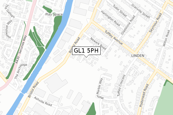
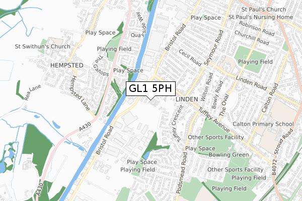
GL1 5PH is located in the Podsmead electoral ward, within the local authority district of Gloucester and the English Parliamentary constituency of Gloucester. The Sub Integrated Care Board (ICB) Location is NHS Gloucestershire ICB - 11M and the police force is Gloucestershire. This postcode has been in use since December 2019.


GetTheData
Source: OS Open Zoomstack (Ordnance Survey)
Licence: Open Government Licence (requires attribution)
Attribution: Contains OS data © Crown copyright and database right 2025
Source: Open Postcode Geo
Licence: Open Government Licence (requires attribution)
Attribution: Contains OS data © Crown copyright and database right 2025; Contains Royal Mail data © Royal Mail copyright and database right 2025; Source: Office for National Statistics licensed under the Open Government Licence v.3.0
| Easting | 382299 |
| Northing | 216578 |
| Latitude | 51.847522 |
| Longitude | -2.258364 |
GetTheData
Source: Open Postcode Geo
Licence: Open Government Licence
| Country | England |
| Postcode District | GL1 |
➜ See where GL1 is on a map ➜ Where is Gloucester? | |
GetTheData
Source: Land Registry Price Paid Data
Licence: Open Government Licence
| Ward | Podsmead |
| Constituency | Gloucester |
GetTheData
Source: ONS Postcode Database
Licence: Open Government Licence
2024 24 SEP £385,000 |
2020 30 OCT £315,000 |
2, FRENCH BURR PLACE, GLOUCESTER, GL1 5PH 2020 1 SEP £321,000 |
9, FRENCH BURR PLACE, GLOUCESTER, GL1 5PH 2020 10 AUG £308,750 |
12, FRENCH BURR PLACE, GLOUCESTER, GL1 5PH 2020 13 JUL £320,000 |
11, FRENCH BURR PLACE, GLOUCESTER, GL1 5PH 2019 11 DEC £320,000 |
GetTheData
Source: HM Land Registry Price Paid Data
Licence: Contains HM Land Registry data © Crown copyright and database right 2025. This data is licensed under the Open Government Licence v3.0.
| Newark Road (Bristol Road) | Gloucester | 193m |
| Tuffley Avenue (Bristol Road) | Gloucester | 263m |
| Tuffley Avenue (Bristol Road) | Gloucester | 274m |
| Tuffley Avenue (Seymour Road) | Linden | 295m |
| Tuffley Avenue (Seymour Road) | Linden | 300m |
| Gloucester Station | 2.4km |
GetTheData
Source: NaPTAN
Licence: Open Government Licence
GetTheData
Source: ONS Postcode Database
Licence: Open Government Licence


➜ Get more ratings from the Food Standards Agency
GetTheData
Source: Food Standards Agency
Licence: FSA terms & conditions
| Last Collection | |||
|---|---|---|---|
| Location | Mon-Fri | Sat | Distance |
| Bristol Road | 17:45 | 12:30 | 186m |
| Tuffley Avenue | 17:30 | 12:45 | 271m |
| Elmgrove | 17:00 | 12:00 | 544m |
GetTheData
Source: Dracos
Licence: Creative Commons Attribution-ShareAlike
The below table lists the International Territorial Level (ITL) codes (formerly Nomenclature of Territorial Units for Statistics (NUTS) codes) and Local Administrative Units (LAU) codes for GL1 5PH:
| ITL 1 Code | Name |
|---|---|
| TLK | South West (England) |
| ITL 2 Code | Name |
| TLK1 | Gloucestershire, Wiltshire and Bath/Bristol area |
| ITL 3 Code | Name |
| TLK13 | Gloucestershire CC |
| LAU 1 Code | Name |
| E07000081 | Gloucester |
GetTheData
Source: ONS Postcode Directory
Licence: Open Government Licence
The below table lists the Census Output Area (OA), Lower Layer Super Output Area (LSOA), and Middle Layer Super Output Area (MSOA) for GL1 5PH:
| Code | Name | |
|---|---|---|
| OA | E00113522 | |
| LSOA | E01022334 | Gloucester 009F |
| MSOA | E02004644 | Gloucester 009 |
GetTheData
Source: ONS Postcode Directory
Licence: Open Government Licence
| GL1 5TW | Newark Road | 113m |
| GL1 5TL | Bristol Road | 178m |
| GL1 5LT | Tuffley Avenue | 190m |
| GL1 5TE | Canada Wharf | 203m |
| GL1 5LX | Tuffley Avenue | 215m |
| GL1 5NE | Tuffley Crescent | 222m |
| GL1 5LS | Tuffley Avenue | 225m |
| GL1 5ND | Tuffley Crescent | 246m |
| GL1 5LU | Tuffley Avenue | 247m |
| GL1 5NU | The Greenway | 275m |
GetTheData
Source: Open Postcode Geo; Land Registry Price Paid Data
Licence: Open Government Licence