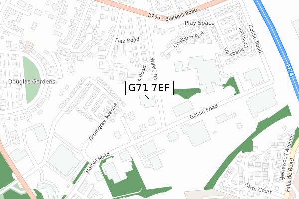
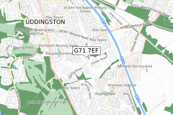
G71 7EF is located in the Bothwell and Uddingston electoral ward, within the council area of South Lanarkshire and the Scottish Parliamentary constituency of Lanark and Hamilton East. The Community Health Partnership is South Lanarkshire Community Health Partnership and the police force is Scotland. This postcode has been in use since December 1996.


GetTheData
Source: OS Open Zoomstack (Ordnance Survey)
Licence: Open Government Licence (requires attribution)
Attribution: Contains OS data © Crown copyright and database right 2024
Source: Open Postcode Geo
Licence: Open Government Licence (requires attribution)
Attribution: Contains OS data © Crown copyright and database right 2024; Contains Royal Mail data © Royal Mail copyright and database right 2024; Source: Office for National Statistics licensed under the Open Government Licence v.3.0
| Easting | 270217 |
| Northing | 659950 |
| Latitude | 55.815311 |
| Longitude | -4.072726 |
GetTheData
Source: Open Postcode Geo
Licence: Open Government Licence
| Country | Scotland |
| Postcode District | G71 |
➜ See where G71 is on a map ➜ Where is Uddingston? | |
GetTheData
Source: Land Registry Price Paid Data
Licence: Open Government Licence
| Ward | Bothwell And Uddingston |
| Constituency | Lanark And Hamilton East |
GetTheData
Source: ONS Postcode Database
Licence: Open Government Licence
| Hornal Road (Bothwell Road) | Uddingston | 505m |
| Douglas Gardens (Bothwell Road) | Uddingston | 516m |
| Hornal Road (Bothwell Road) | Uddingston | 520m |
| Douglas Gardens (Bothwell Road) | Uddingston | 540m |
| Woodlands Gardens (Uddingston Road) | Bothwell | 574m |
| Uddingston Station | 1.3km |
| Blantyre Station | 2.2km |
| Bellshill Station | 3km |
GetTheData
Source: NaPTAN
Licence: Open Government Licence
GetTheData
Source: ONS Postcode Database
Licence: Open Government Licence


➜ Get more ratings from the Food Standards Agency
GetTheData
Source: Food Standards Agency
Licence: FSA terms & conditions
| Last Collection | |||
|---|---|---|---|
| Location | Mon-Fri | Sat | Distance |
| Bellshill Road | 17:30 | 12:00 | 332m |
| Bothwell Road | 17:30 | 11:45 | 503m |
| Uddingston Cross | 17:30 | 12:00 | 615m |
GetTheData
Source: Dracos
Licence: Creative Commons Attribution-ShareAlike
The below table lists the International Territorial Level (ITL) codes (formerly Nomenclature of Territorial Units for Statistics (NUTS) codes) and Local Administrative Units (LAU) codes for G71 7EF:
| ITL 1 Code | Name |
|---|---|
| TLM | Scotland |
| ITL 2 Code | Name |
| TLM9 | Southern Scotland |
| ITL 3 Code | Name |
| TLM95 | South Lanarkshire |
| LAU 1 Code | Name |
| S30000025 | South Lanarkshire |
GetTheData
Source: ONS Postcode Directory
Licence: Open Government Licence
The below table lists the Census Output Area (OA), Lower Layer Super Output Area (LSOA), and Middle Layer Super Output Area (MSOA) for G71 7EF:
| Code | Name | |
|---|---|---|
| OA | S00132234 | |
| LSOA | S01012808 | Uddingston and Gardenside - 02 |
| MSOA | S02002401 | Uddingston and Gardenside |
GetTheData
Source: ONS Postcode Directory
Licence: Open Government Licence