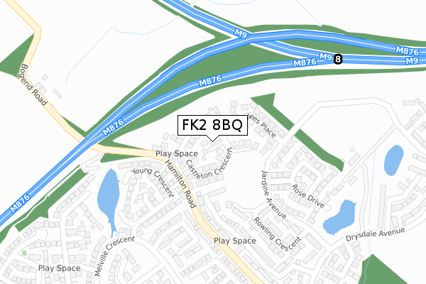
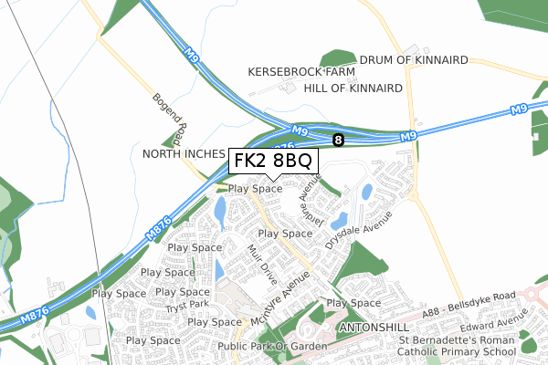
FK2 8BQ is located in the Carse, Kinnaird and Tryst electoral ward, within the council area of Falkirk and the Scottish Parliamentary constituency of Falkirk. The Community Health Partnership is Falkirk Community Health Partnership and the police force is Scotland. This postcode has been in use since April 2019.


GetTheData
Source: OS Open Zoomstack (Ordnance Survey)
Licence: Open Government Licence (requires attribution)
Attribution: Contains OS data © Crown copyright and database right 2025
Source: Open Postcode Geo
Licence: Open Government Licence (requires attribution)
Attribution: Contains OS data © Crown copyright and database right 2025; Contains Royal Mail data © Royal Mail copyright and database right 2025; Source: Office for National Statistics licensed under the Open Government Licence v.3.0
| Easting | 286643 |
| Northing | 684660 |
| Latitude | 56.041349 |
| Longitude | -3.821134 |
GetTheData
Source: Open Postcode Geo
Licence: Open Government Licence
| Country | Scotland |
| Postcode District | FK2 |
➜ See where FK2 is on a map ➜ Where is Larbert? | |
GetTheData
Source: Land Registry Price Paid Data
Licence: Open Government Licence
| Ward | Carse, Kinnaird And Tryst |
| Constituency | Falkirk |
GetTheData
Source: ONS Postcode Database
Licence: Open Government Licence
| Kinnaird Primary School (Mcintyre Avenue) | Larbert | 622m |
| Kinnaird Primary School (Mcintyre Avenue) | Larbert | 623m |
| Mccambridge Place (Tryst Park) | Larbert | 734m |
| Mccambridge Place (Tryst Park) | Larbert | 748m |
| Hamilton Avenue (Bellsdyke Road) | Antonshill | 821m |
| Larbert Station | 2.2km |
| Camelon Station | 3.9km |
| Falkirk Grahamston Station | 4.9km |
GetTheData
Source: NaPTAN
Licence: Open Government Licence
GetTheData
Source: ONS Postcode Database
Licence: Open Government Licence


➜ Get more ratings from the Food Standards Agency
GetTheData
Source: Food Standards Agency
Licence: FSA terms & conditions
| Last Collection | |||
|---|---|---|---|
| Location | Mon-Fri | Sat | Distance |
| Muirfield Road | 16:45 | 11:00 | 1,614m |
| Carronvale Road | 16:30 | 11:30 | 2,324m |
| Larbert Post Office | 17:30 | 12:00 | 2,476m |
GetTheData
Source: Dracos
Licence: Creative Commons Attribution-ShareAlike
The below table lists the International Territorial Level (ITL) codes (formerly Nomenclature of Territorial Units for Statistics (NUTS) codes) and Local Administrative Units (LAU) codes for FK2 8BQ:
| ITL 1 Code | Name |
|---|---|
| TLM | Scotland |
| ITL 2 Code | Name |
| TLM7 | Eastern Scotland |
| ITL 3 Code | Name |
| TLM76 | Falkirk |
| LAU 1 Code | Name |
| S30000009 | Falkirk |
GetTheData
Source: ONS Postcode Directory
Licence: Open Government Licence
The below table lists the Census Output Area (OA), Lower Layer Super Output Area (LSOA), and Middle Layer Super Output Area (MSOA) for FK2 8BQ:
| Code | Name | |
|---|---|---|
| OA | S00107648 | |
| LSOA | S01009122 | Carse and Grangemouth Old Town - 02 |
| MSOA | S02001710 | Carse and Grangemouth Old Town |
GetTheData
Source: ONS Postcode Directory
Licence: Open Government Licence