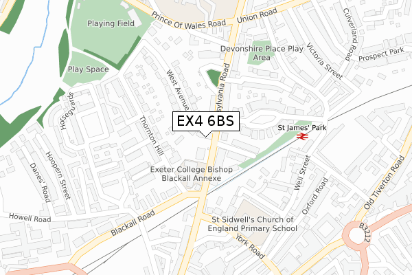
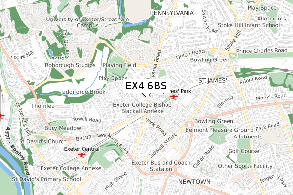
EX4 6BS is located in the Newtown and St Leonard's electoral ward, within the local authority district of Exeter and the English Parliamentary constituency of Exeter. The Sub Integrated Care Board (ICB) Location is NHS Devon ICB - 15N and the police force is Devon & Cornwall. This postcode has been in use since August 2019.


GetTheData
Source: OS Open Zoomstack (Ordnance Survey)
Licence: Open Government Licence (requires attribution)
Attribution: Contains OS data © Crown copyright and database right 2025
Source: Open Postcode Geo
Licence: Open Government Licence (requires attribution)
Attribution: Contains OS data © Crown copyright and database right 2025; Contains Royal Mail data © Royal Mail copyright and database right 2025; Source: Office for National Statistics licensed under the Open Government Licence v.3.0
| Easting | 292901 |
| Northing | 93343 |
| Latitude | 50.729790 |
| Longitude | -3.518861 |
GetTheData
Source: Open Postcode Geo
Licence: Open Government Licence
| Country | England |
| Postcode District | EX4 |
➜ See where EX4 is on a map ➜ Where is Exeter? | |
GetTheData
Source: Land Registry Price Paid Data
Licence: Open Government Licence
| Ward | Newtown And St Leonard's |
| Constituency | Exeter |
GetTheData
Source: ONS Postcode Database
Licence: Open Government Licence
| Sorry Head (Blackboy Road) | Exeter City Centre | 52m |
| Exeter Trust House (Blackboy Road) | Exeter City Centre | 59m |
| St James Road (Old Tiverton Road) | Exeter City Centre | 122m |
| St James Road (Old Tiverton Road) | Exeter City Centre | 123m |
| Elmside (Blackboy Road) | Polsloe | 151m |
| St James Park (Devon) Station | 0.3km |
| Exeter Central Station | 1.1km |
| Polsloe Bridge Station | 1.2km |
GetTheData
Source: NaPTAN
Licence: Open Government Licence
GetTheData
Source: ONS Postcode Database
Licence: Open Government Licence


➜ Get more ratings from the Food Standards Agency
GetTheData
Source: Food Standards Agency
Licence: FSA terms & conditions
| Last Collection | |||
|---|---|---|---|
| Location | Mon-Fri | Sat | Distance |
| Sidwell Street | 18:30 | 12:30 | 158m |
| Old Tiverton Road | 18:30 | 12:30 | 175m |
| Victoria Road | 18:30 | 12:30 | 335m |
GetTheData
Source: Dracos
Licence: Creative Commons Attribution-ShareAlike
The below table lists the International Territorial Level (ITL) codes (formerly Nomenclature of Territorial Units for Statistics (NUTS) codes) and Local Administrative Units (LAU) codes for EX4 6BS:
| ITL 1 Code | Name |
|---|---|
| TLK | South West (England) |
| ITL 2 Code | Name |
| TLK4 | Devon |
| ITL 3 Code | Name |
| TLK43 | Devon CC |
| LAU 1 Code | Name |
| E07000041 | Exeter |
GetTheData
Source: ONS Postcode Directory
Licence: Open Government Licence
The below table lists the Census Output Area (OA), Lower Layer Super Output Area (LSOA), and Middle Layer Super Output Area (MSOA) for EX4 6BS:
| Code | Name | |
|---|---|---|
| OA | E00101202 | |
| LSOA | E01019997 | Exeter 004A |
| MSOA | E02004152 | Exeter 004 |
GetTheData
Source: ONS Postcode Directory
Licence: Open Government Licence
| EX4 6SN | Spinning Path | 21m |
| EX4 6SW | Blackboy Road | 30m |
| EX4 6SR | Blackboy Road | 47m |
| EX4 6LF | Toronto Road | 48m |
| EX4 6LD | Old Tiverton Road | 49m |
| EX4 6SG | Blackboy Road | 69m |
| EX4 6SQ | Silver Lane | 84m |
| EX4 6ST | Blackboy Road | 94m |
| EX4 6SL | Salem Place | 113m |
| EX4 6LE | Toronto Road | 115m |
GetTheData
Source: Open Postcode Geo; Land Registry Price Paid Data
Licence: Open Government Licence