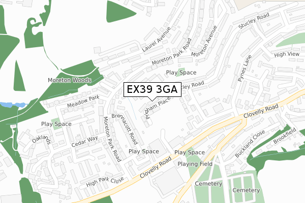
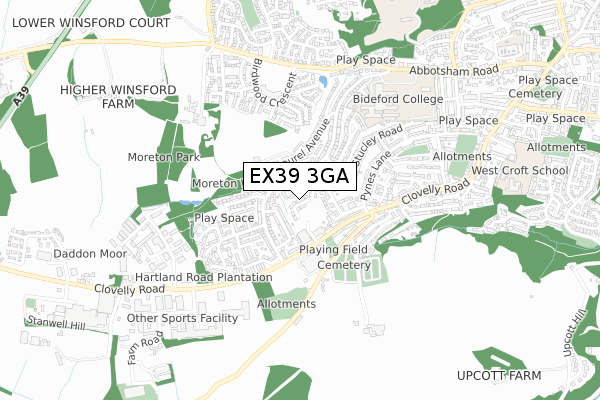
EX39 3GA is located in the Bideford West electoral ward, within the local authority district of Torridge and the English Parliamentary constituency of Torridge and West Devon. The Sub Integrated Care Board (ICB) Location is NHS Devon ICB - 15N and the police force is Devon & Cornwall. This postcode has been in use since December 2019.


GetTheData
Source: OS Open Zoomstack (Ordnance Survey)
Licence: Open Government Licence (requires attribution)
Attribution: Contains OS data © Crown copyright and database right 2024
Source: Open Postcode Geo
Licence: Open Government Licence (requires attribution)
Attribution: Contains OS data © Crown copyright and database right 2024; Contains Royal Mail data © Royal Mail copyright and database right 2024; Source: Office for National Statistics licensed under the Open Government Licence v.3.0
| Easting | 244031 |
| Northing | 125949 |
| Latitude | 51.011712 |
| Longitude | -4.224753 |
GetTheData
Source: Open Postcode Geo
Licence: Open Government Licence
| Country | England |
| Postcode District | EX39 |
➜ See where EX39 is on a map ➜ Where is Bideford? | |
GetTheData
Source: Land Registry Price Paid Data
Licence: Open Government Licence
| Ward | Bideford West |
| Constituency | Torridge And West Devon |
GetTheData
Source: ONS Postcode Database
Licence: Open Government Licence
| Bargain Booze (Moreton Park Road) | Bideford | 140m |
| Bargain Booze (Moreton Park Road) | Bideford | 142m |
| Cedar Way (Moreton Park Road) | Bideford | 165m |
| Moreton Avenue (Moreton Park Road) | Bideford | 173m |
| Moreton Avenue (Moreton Park Road) | Bideford | 178m |
GetTheData
Source: NaPTAN
Licence: Open Government Licence
GetTheData
Source: ONS Postcode Database
Licence: Open Government Licence


➜ Get more ratings from the Food Standards Agency
GetTheData
Source: Food Standards Agency
Licence: FSA terms & conditions
| Last Collection | |||
|---|---|---|---|
| Location | Mon-Fri | Sat | Distance |
| Atlantic Village | 17:30 | 12:15 | 1,016m |
| Hunestone Street | 17:45 | 12:00 | 1,181m |
| Market Place | 18:15 | 12:30 | 1,371m |
GetTheData
Source: Dracos
Licence: Creative Commons Attribution-ShareAlike
The below table lists the International Territorial Level (ITL) codes (formerly Nomenclature of Territorial Units for Statistics (NUTS) codes) and Local Administrative Units (LAU) codes for EX39 3GA:
| ITL 1 Code | Name |
|---|---|
| TLK | South West (England) |
| ITL 2 Code | Name |
| TLK4 | Devon |
| ITL 3 Code | Name |
| TLK43 | Devon CC |
| LAU 1 Code | Name |
| E07000046 | Torridge |
GetTheData
Source: ONS Postcode Directory
Licence: Open Government Licence
The below table lists the Census Output Area (OA), Lower Layer Super Output Area (LSOA), and Middle Layer Super Output Area (MSOA) for EX39 3GA:
| Code | Name | |
|---|---|---|
| OA | E00102755 | |
| LSOA | E01020283 | Torridge 004D |
| MSOA | E02004223 | Torridge 004 |
GetTheData
Source: ONS Postcode Directory
Licence: Open Government Licence
| EX39 3EZ | Brennacott Road | 92m |
| EX39 3EL | Stucley Road | 100m |
| EX39 3EN | Richard Close | 118m |
| EX39 3HA | Moreton Park Road | 134m |
| EX39 3BB | Moreton Park Road | 136m |
| EX39 3HB | Moreton Park Road | 163m |
| EX39 3EJ | Stucley Road | 168m |
| EX39 3EY | Brennacott Place | 185m |
| EX39 3EP | Grenville Estate | 189m |
| EX39 3EW | Pynes Walk | 193m |
GetTheData
Source: Open Postcode Geo; Land Registry Price Paid Data
Licence: Open Government Licence