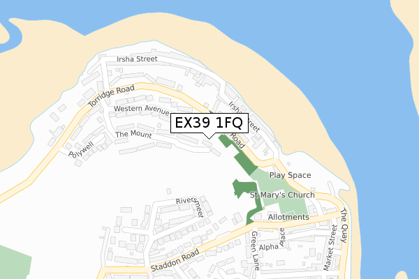
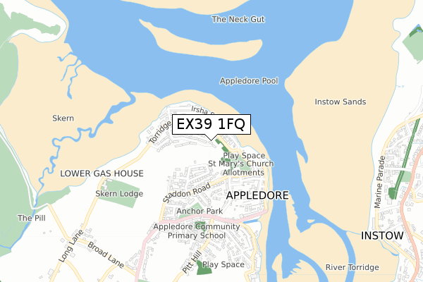
EX39 1FQ is located in the Appledore electoral ward, within the local authority district of Torridge and the English Parliamentary constituency of Torridge and West Devon. The Sub Integrated Care Board (ICB) Location is NHS Devon ICB - 15N and the police force is Devon & Cornwall. This postcode has been in use since August 2019.


GetTheData
Source: OS Open Zoomstack (Ordnance Survey)
Licence: Open Government Licence (requires attribution)
Attribution: Contains OS data © Crown copyright and database right 2025
Source: Open Postcode Geo
Licence: Open Government Licence (requires attribution)
Attribution: Contains OS data © Crown copyright and database right 2025; Contains Royal Mail data © Royal Mail copyright and database right 2025; Source: Office for National Statistics licensed under the Open Government Licence v.3.0
| Easting | 246234 |
| Northing | 130763 |
| Latitude | 51.055563 |
| Longitude | -4.195419 |
GetTheData
Source: Open Postcode Geo
Licence: Open Government Licence
| Country | England |
| Postcode District | EX39 |
➜ See where EX39 is on a map ➜ Where is Appledore? | |
GetTheData
Source: Land Registry Price Paid Data
Licence: Open Government Licence
| Ward | Appledore |
| Constituency | Torridge And West Devon |
GetTheData
Source: ONS Postcode Database
Licence: Open Government Licence
| Greysand Crescent (Torridge Road) | Appledore | 244m |
| West Appledore Shelter (Torridge Road) | Appledore | 248m |
| Seagate Hotel (The Quay) | Appledore | 333m |
| Seagate Hotel (The Quay) | Appledore | 337m |
| Pitt Hill (Myrtle Street) | Appledore | 412m |
GetTheData
Source: NaPTAN
Licence: Open Government Licence
GetTheData
Source: ONS Postcode Database
Licence: Open Government Licence


➜ Get more ratings from the Food Standards Agency
GetTheData
Source: Food Standards Agency
Licence: FSA terms & conditions
| Last Collection | |||
|---|---|---|---|
| Location | Mon-Fri | Sat | Distance |
| J H Taylor Drive | 17:00 | 11:00 | 1,728m |
| Northam Post Office | 17:00 | 12:00 | 2,094m |
| Bayview Road | 16:15 | 11:30 | 2,691m |
GetTheData
Source: Dracos
Licence: Creative Commons Attribution-ShareAlike
The below table lists the International Territorial Level (ITL) codes (formerly Nomenclature of Territorial Units for Statistics (NUTS) codes) and Local Administrative Units (LAU) codes for EX39 1FQ:
| ITL 1 Code | Name |
|---|---|
| TLK | South West (England) |
| ITL 2 Code | Name |
| TLK4 | Devon |
| ITL 3 Code | Name |
| TLK43 | Devon CC |
| LAU 1 Code | Name |
| E07000046 | Torridge |
GetTheData
Source: ONS Postcode Directory
Licence: Open Government Licence
The below table lists the Census Output Area (OA), Lower Layer Super Output Area (LSOA), and Middle Layer Super Output Area (MSOA) for EX39 1FQ:
| Code | Name | |
|---|---|---|
| OA | E00102695 | |
| LSOA | E01020275 | Torridge 001A |
| MSOA | E02004220 | Torridge 001 |
GetTheData
Source: ONS Postcode Directory
Licence: Open Government Licence
| EX39 1SQ | Torridge Road | 84m |
| EX39 1RP | Ivy Court | 104m |
| EX39 1RW | Myra Court | 104m |
| EX39 1RS | Victoria Crescent | 112m |
| EX39 1RY | Irsha Street | 118m |
| EX39 1RN | Irsha Court | 126m |
| EX39 1RR | Ibex Court | 137m |
| EX39 1NZ | The Mount | 147m |
| EX39 1RT | Darracotts Court | 173m |
| EX39 1SD | Western Avenue | 179m |
GetTheData
Source: Open Postcode Geo; Land Registry Price Paid Data
Licence: Open Government Licence