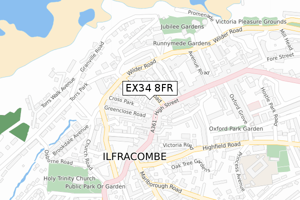
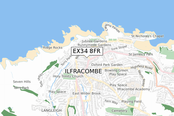
EX34 8FR is located in the Ilfracombe East electoral ward, within the local authority district of North Devon and the English Parliamentary constituency of North Devon. The Sub Integrated Care Board (ICB) Location is NHS Devon ICB - 15N and the police force is Devon & Cornwall. This postcode has been in use since April 2020.


GetTheData
Source: OS Open Zoomstack (Ordnance Survey)
Licence: Open Government Licence (requires attribution)
Attribution: Contains OS data © Crown copyright and database right 2025
Source: Open Postcode Geo
Licence: Open Government Licence (requires attribution)
Attribution: Contains OS data © Crown copyright and database right 2025; Contains Royal Mail data © Royal Mail copyright and database right 2025; Source: Office for National Statistics licensed under the Open Government Licence v.3.0
| Easting | 251640 |
| Northing | 147573 |
| Latitude | 51.208042 |
| Longitude | -4.125265 |
GetTheData
Source: Open Postcode Geo
Licence: Open Government Licence
| Country | England |
| Postcode District | EX34 |
➜ See where EX34 is on a map ➜ Where is Ilfracombe? | |
GetTheData
Source: Land Registry Price Paid Data
Licence: Open Government Licence
| Ward | Ilfracombe East |
| Constituency | North Devon |
GetTheData
Source: ONS Postcode Database
Licence: Open Government Licence
| The Bastille (Wilder Road) | Ilfracombe | 118m |
| Opposite Garage (High Street) | Ilfracombe | 127m |
| Baptist Church (High Street) | Ilfracombe | 132m |
| Garage (High Street) | Ilfracombe | 132m |
| Lidl (Wilder Road) | Ilfracombe | 139m |
GetTheData
Source: NaPTAN
Licence: Open Government Licence
GetTheData
Source: ONS Postcode Database
Licence: Open Government Licence


➜ Get more ratings from the Food Standards Agency
GetTheData
Source: Food Standards Agency
Licence: FSA terms & conditions
| Last Collection | |||
|---|---|---|---|
| Location | Mon-Fri | Sat | Distance |
| Bath Place | 17:15 | 11:30 | 122m |
| Ilfracombe Delivery Office | 18:00 | 12:30 | 129m |
| Church Street Post Office | 17:30 | 11:30 | 252m |
GetTheData
Source: Dracos
Licence: Creative Commons Attribution-ShareAlike
The below table lists the International Territorial Level (ITL) codes (formerly Nomenclature of Territorial Units for Statistics (NUTS) codes) and Local Administrative Units (LAU) codes for EX34 8FR:
| ITL 1 Code | Name |
|---|---|
| TLK | South West (England) |
| ITL 2 Code | Name |
| TLK4 | Devon |
| ITL 3 Code | Name |
| TLK43 | Devon CC |
| LAU 1 Code | Name |
| E07000043 | North Devon |
GetTheData
Source: ONS Postcode Directory
Licence: Open Government Licence
The below table lists the Census Output Area (OA), Lower Layer Super Output Area (LSOA), and Middle Layer Super Output Area (MSOA) for EX34 8FR:
| Code | Name | |
|---|---|---|
| OA | E00101848 | |
| LSOA | E01020111 | North Devon 001A |
| MSOA | E02004175 | North Devon 001 |
GetTheData
Source: ONS Postcode Directory
Licence: Open Government Licence
| EX34 8FG | Northfield Road | 38m |
| EX34 8AL | Northfield Road | 47m |
| EX34 8AP | Northfield Terrace | 54m |
| EX34 8BJ | Cross Park | 61m |
| EX34 9AD | Fortescue Road | 71m |
| EX34 9QB | High Street | 80m |
| EX34 9DB | High Street | 84m |
| EX34 9NH | High Street | 89m |
| EX34 9FE | Tarry Lane | 95m |
| EX34 9QD | Neva Cottages | 97m |
GetTheData
Source: Open Postcode Geo; Land Registry Price Paid Data
Licence: Open Government Licence