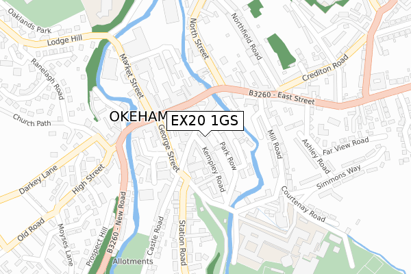
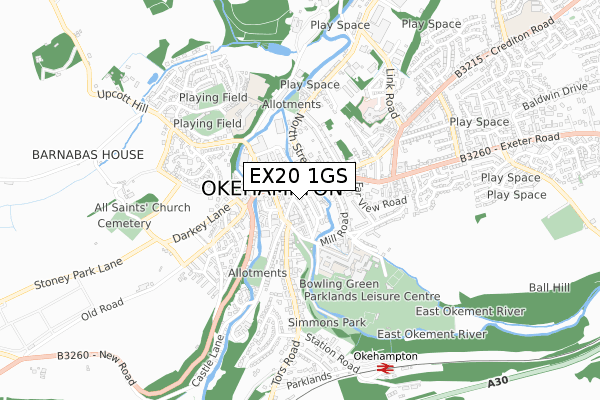
EX20 1GS is located in the Okehampton South electoral ward, within the local authority district of West Devon and the English Parliamentary constituency of Central Devon. The Sub Integrated Care Board (ICB) Location is NHS Devon ICB - 15N and the police force is Devon & Cornwall. This postcode has been in use since February 2020.


GetTheData
Source: OS Open Zoomstack (Ordnance Survey)
Licence: Open Government Licence (requires attribution)
Attribution: Contains OS data © Crown copyright and database right 2025
Source: Open Postcode Geo
Licence: Open Government Licence (requires attribution)
Attribution: Contains OS data © Crown copyright and database right 2025; Contains Royal Mail data © Royal Mail copyright and database right 2025; Source: Office for National Statistics licensed under the Open Government Licence v.3.0
| Easting | 258859 |
| Northing | 95132 |
| Latitude | 50.738592 |
| Longitude | -4.001618 |
GetTheData
Source: Open Postcode Geo
Licence: Open Government Licence
| Country | England |
| Postcode District | EX20 |
➜ See where EX20 is on a map ➜ Where is Okehampton? | |
GetTheData
Source: Land Registry Price Paid Data
Licence: Open Government Licence
| Ward | Okehampton South |
| Constituency | Central Devon |
GetTheData
Source: ONS Postcode Database
Licence: Open Government Licence
| Martins (Fore Street) | Okehampton | 99m |
| Boots (Fore Street) | Okehampton | 101m |
| Tenby House (Mill Road) | Okehampton | 107m |
| Mill Road (East Street) | Okehampton | 150m |
| Mill Road | Okehampton | 160m |
| Okehampton Station (Dartmoor Railway) | Okehampton | 785m |
| Okehampton Station | 0.8km |
| Sampford Courtenay Station | 5.1km |
GetTheData
Source: NaPTAN
Licence: Open Government Licence
GetTheData
Source: ONS Postcode Database
Licence: Open Government Licence


➜ Get more ratings from the Food Standards Agency
GetTheData
Source: Food Standards Agency
Licence: FSA terms & conditions
| Last Collection | |||
|---|---|---|---|
| Location | Mon-Fri | Sat | Distance |
| Fore Street | 17:30 | 12:00 | 89m |
| The Mills | 16:00 | 11:30 | 234m |
| Northfield Road | 16:15 | 11:30 | 237m |
GetTheData
Source: Dracos
Licence: Creative Commons Attribution-ShareAlike
The below table lists the International Territorial Level (ITL) codes (formerly Nomenclature of Territorial Units for Statistics (NUTS) codes) and Local Administrative Units (LAU) codes for EX20 1GS:
| ITL 1 Code | Name |
|---|---|
| TLK | South West (England) |
| ITL 2 Code | Name |
| TLK4 | Devon |
| ITL 3 Code | Name |
| TLK43 | Devon CC |
| LAU 1 Code | Name |
| E07000047 | West Devon |
GetTheData
Source: ONS Postcode Directory
Licence: Open Government Licence
The below table lists the Census Output Area (OA), Lower Layer Super Output Area (LSOA), and Middle Layer Super Output Area (MSOA) for EX20 1GS:
| Code | Name | |
|---|---|---|
| OA | E00103000 | |
| LSOA | E01020330 | West Devon 002D |
| MSOA | E02004230 | West Devon 002 |
GetTheData
Source: ONS Postcode Directory
Licence: Open Government Licence
| EX20 1DJ | St James Street | 37m |
| EX20 1FD | Sparrows Row | 41m |
| EX20 1EX | The Arcade | 53m |
| EX20 1SS | St James Court | 57m |
| EX20 1DH | St James Street | 59m |
| EX20 1DT | Fairplace Terrace | 61m |
| EX20 1DP | Park Row | 71m |
| EX20 1DS | Kempley Road | 77m |
| EX20 1HB | Fore Street | 78m |
| EX20 1FZ | Mill Road | 87m |
GetTheData
Source: Open Postcode Geo; Land Registry Price Paid Data
Licence: Open Government Licence