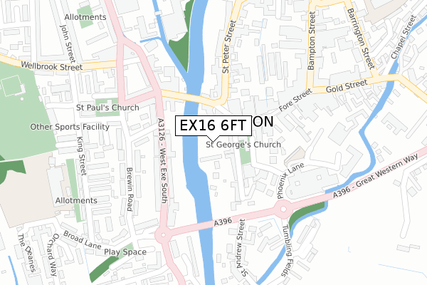
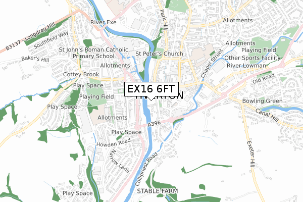
EX16 6FT is located in the Tiverton Castle electoral ward, within the local authority district of Mid Devon and the English Parliamentary constituency of Tiverton and Honiton. The Sub Integrated Care Board (ICB) Location is NHS Devon ICB - 15N and the police force is Devon & Cornwall. This postcode has been in use since April 2020.


GetTheData
Source: OS Open Zoomstack (Ordnance Survey)
Licence: Open Government Licence (requires attribution)
Attribution: Contains OS data © Crown copyright and database right 2024
Source: Open Postcode Geo
Licence: Open Government Licence (requires attribution)
Attribution: Contains OS data © Crown copyright and database right 2024; Contains Royal Mail data © Royal Mail copyright and database right 2024; Source: Office for National Statistics licensed under the Open Government Licence v.3.0
| Easting | 295361 |
| Northing | 112444 |
| Latitude | 50.901951 |
| Longitude | -3.489472 |
GetTheData
Source: Open Postcode Geo
Licence: Open Government Licence
| Country | England |
| Postcode District | EX16 |
➜ See where EX16 is on a map ➜ Where is Tiverton? | |
GetTheData
Source: Land Registry Price Paid Data
Licence: Open Government Licence
| Ward | Tiverton Castle |
| Constituency | Tiverton And Honiton |
GetTheData
Source: ONS Postcode Database
Licence: Open Government Licence
| West Exe South | Tiverton | 131m |
| Fore Street | Tiverton | 131m |
| West Exe South | Tiverton | 138m |
| St Paul Street | Tiverton | 195m |
| Market Walk (Bampton Street) | Tiverton | 312m |
GetTheData
Source: NaPTAN
Licence: Open Government Licence
GetTheData
Source: ONS Postcode Database
Licence: Open Government Licence


➜ Get more ratings from the Food Standards Agency
GetTheData
Source: Food Standards Agency
Licence: FSA terms & conditions
| Last Collection | |||
|---|---|---|---|
| Location | Mon-Fri | Sat | Distance |
| Town Hall | 17:30 | 12:00 | 70m |
| St Peter Street | 17:30 | 12:00 | 333m |
| Wilcombe Post Office | 17:00 | 12:00 | 476m |
GetTheData
Source: Dracos
Licence: Creative Commons Attribution-ShareAlike
The below table lists the International Territorial Level (ITL) codes (formerly Nomenclature of Territorial Units for Statistics (NUTS) codes) and Local Administrative Units (LAU) codes for EX16 6FT:
| ITL 1 Code | Name |
|---|---|
| TLK | South West (England) |
| ITL 2 Code | Name |
| TLK4 | Devon |
| ITL 3 Code | Name |
| TLK43 | Devon CC |
| LAU 1 Code | Name |
| E07000042 | Mid Devon |
GetTheData
Source: ONS Postcode Directory
Licence: Open Government Licence
The below table lists the Census Output Area (OA), Lower Layer Super Output Area (LSOA), and Middle Layer Super Output Area (MSOA) for EX16 6FT:
| Code | Name | |
|---|---|---|
| OA | E00101512 | |
| LSOA | E01020052 | Mid Devon 004A |
| MSOA | E02004167 | Mid Devon 004 |
GetTheData
Source: ONS Postcode Directory
Licence: Open Government Licence
| EX16 6PQ | Ham Place | 36m |
| EX16 6PW | The Orchard | 74m |
| EX16 6PE | Angel Hill | 82m |
| EX16 6PD | Angel Terrace | 97m |
| EX16 6LN | Fore Street | 111m |
| EX16 6LH | Fore Street | 112m |
| EX16 6PH | St Andrew Street | 115m |
| EX16 5DH | Westexe South | 125m |
| EX16 6NZ | St Peters Court | 148m |
| EX16 5DJ | Westexe South | 154m |
GetTheData
Source: Open Postcode Geo; Land Registry Price Paid Data
Licence: Open Government Licence