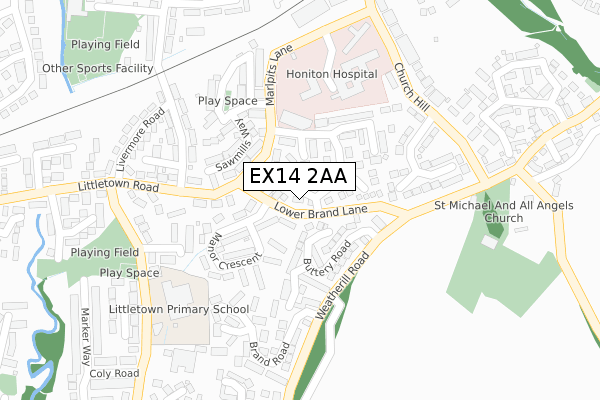
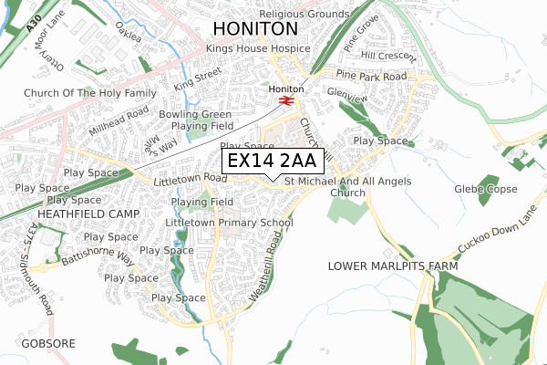
EX14 2AA is located in the Honiton St Paul's electoral ward, within the local authority district of East Devon and the English Parliamentary constituency of Tiverton and Honiton. The Sub Integrated Care Board (ICB) Location is NHS Devon ICB - 15N and the police force is Devon & Cornwall. This postcode has been in use since April 2017.


GetTheData
Source: OS Open Zoomstack (Ordnance Survey)
Licence: Open Government Licence (requires attribution)
Attribution: Contains OS data © Crown copyright and database right 2025
Source: Open Postcode Geo
Licence: Open Government Licence (requires attribution)
Attribution: Contains OS data © Crown copyright and database right 2025; Contains Royal Mail data © Royal Mail copyright and database right 2025; Source: Office for National Statistics licensed under the Open Government Licence v.3.0
| Easting | 316375 |
| Northing | 99980 |
| Latitude | 50.793321 |
| Longitude | -3.187852 |
GetTheData
Source: Open Postcode Geo
Licence: Open Government Licence
| Country | England |
| Postcode District | EX14 |
➜ See where EX14 is on a map ➜ Where is Honiton? | |
GetTheData
Source: Land Registry Price Paid Data
Licence: Open Government Licence
| Ward | Honiton St Paul's |
| Constituency | Tiverton And Honiton |
GetTheData
Source: ONS Postcode Database
Licence: Open Government Licence
| Manor Crescent (Lower Brand Lane) | Honiton | 28m |
| Manor Crescent (Lower Brand Lane) | Honiton | 33m |
| Hospital (Marlpits Lane) | Honiton | 175m |
| Hospital (Marlpits Lane) | Honiton | 180m |
| Brand Road (Weatherill Road) | Honiton | 194m |
| Honiton Station | 0.4km |
GetTheData
Source: NaPTAN
Licence: Open Government Licence
| Percentage of properties with Next Generation Access | 100.0% |
| Percentage of properties with Superfast Broadband | 100.0% |
| Percentage of properties with Ultrafast Broadband | 0.0% |
| Percentage of properties with Full Fibre Broadband | 0.0% |
Superfast Broadband is between 30Mbps and 300Mbps
Ultrafast Broadband is > 300Mbps
| Percentage of properties unable to receive 2Mbps | 0.0% |
| Percentage of properties unable to receive 5Mbps | 0.0% |
| Percentage of properties unable to receive 10Mbps | 0.0% |
| Percentage of properties unable to receive 30Mbps | 0.0% |
GetTheData
Source: Ofcom
Licence: Ofcom Terms of Use (requires attribution)
GetTheData
Source: ONS Postcode Database
Licence: Open Government Licence


➜ Get more ratings from the Food Standards Agency
GetTheData
Source: Food Standards Agency
Licence: FSA terms & conditions
| Last Collection | |||
|---|---|---|---|
| Location | Mon-Fri | Sat | Distance |
| Haydon Park | 17:30 | 11:00 | 28m |
| Church Hill | 17:30 | 11:00 | 371m |
| Battishorn Way | 17:30 | 11:00 | 561m |
GetTheData
Source: Dracos
Licence: Creative Commons Attribution-ShareAlike
The below table lists the International Territorial Level (ITL) codes (formerly Nomenclature of Territorial Units for Statistics (NUTS) codes) and Local Administrative Units (LAU) codes for EX14 2AA:
| ITL 1 Code | Name |
|---|---|
| TLK | South West (England) |
| ITL 2 Code | Name |
| TLK4 | Devon |
| ITL 3 Code | Name |
| TLK43 | Devon CC |
| LAU 1 Code | Name |
| E07000040 | East Devon |
GetTheData
Source: ONS Postcode Directory
Licence: Open Government Licence
The below table lists the Census Output Area (OA), Lower Layer Super Output Area (LSOA), and Middle Layer Super Output Area (MSOA) for EX14 2AA:
| Code | Name | |
|---|---|---|
| OA | E00100889 | |
| LSOA | E01019934 | East Devon 002D |
| MSOA | E02004130 | East Devon 002 |
GetTheData
Source: ONS Postcode Directory
Licence: Open Government Licence
| EX14 2DD | Marlpits Lane | 77m |
| EX14 2FA | Buttery Road | 98m |
| EX14 2DF | Manor Crescent | 118m |
| EX14 2TA | Haydons Park | 120m |
| EX14 2DU | Sawmills Way | 137m |
| EX14 2DG | Littletown Road | 153m |
| EX14 2EQ | Littletown Villas | 156m |
| EX14 2FB | Buttery Close | 161m |
| EX14 2DX | Crosscut Way | 164m |
| EX14 2DL | Streamers Meadows | 222m |
GetTheData
Source: Open Postcode Geo; Land Registry Price Paid Data
Licence: Open Government Licence