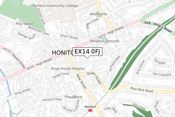
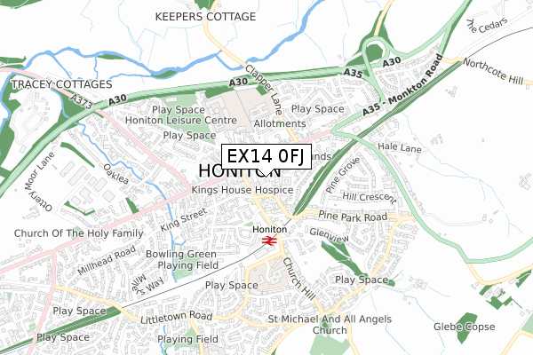
EX14 0FJ is located in the Honiton St Paul's electoral ward, within the local authority district of East Devon and the English Parliamentary constituency of Tiverton and Honiton. The Sub Integrated Care Board (ICB) Location is NHS Devon ICB - 15N and the police force is Devon & Cornwall. This postcode has been in use since April 2019.


GetTheData
Source: OS Open Zoomstack (Ordnance Survey)
Licence: Open Government Licence (requires attribution)
Attribution: Contains OS data © Crown copyright and database right 2025
Source: Open Postcode Geo
Licence: Open Government Licence (requires attribution)
Attribution: Contains OS data © Crown copyright and database right 2025; Contains Royal Mail data © Royal Mail copyright and database right 2025; Source: Office for National Statistics licensed under the Open Government Licence v.3.0
| Easting | 316425 |
| Northing | 100650 |
| Latitude | 50.799352 |
| Longitude | -3.187295 |
GetTheData
Source: Open Postcode Geo
Licence: Open Government Licence
| Country | England |
| Postcode District | EX14 |
➜ See where EX14 is on a map ➜ Where is Honiton? | |
GetTheData
Source: Land Registry Price Paid Data
Licence: Open Government Licence
| Ward | Honiton St Paul's |
| Constituency | Tiverton And Honiton |
GetTheData
Source: ONS Postcode Database
Licence: Open Government Licence
| New Street | Honiton | 136m |
| Congregational Church (High Street) | Honiton | 154m |
| Red Cow (High Street) | Honiton | 190m |
| Lace Walk (High Street) | Honiton | 199m |
| Rail Station (New Street) | Honiton | 288m |
| Honiton Station | 0.3km |
GetTheData
Source: NaPTAN
Licence: Open Government Licence
GetTheData
Source: ONS Postcode Database
Licence: Open Government Licence


➜ Get more ratings from the Food Standards Agency
GetTheData
Source: Food Standards Agency
Licence: FSA terms & conditions
| Last Collection | |||
|---|---|---|---|
| Location | Mon-Fri | Sat | Distance |
| East End / High Street | 17:45 | 11:30 | 64m |
| Pine Park | 17:30 | 11:30 | 300m |
| Church Hill | 17:30 | 11:00 | 333m |
GetTheData
Source: Dracos
Licence: Creative Commons Attribution-ShareAlike
The below table lists the International Territorial Level (ITL) codes (formerly Nomenclature of Territorial Units for Statistics (NUTS) codes) and Local Administrative Units (LAU) codes for EX14 0FJ:
| ITL 1 Code | Name |
|---|---|
| TLK | South West (England) |
| ITL 2 Code | Name |
| TLK4 | Devon |
| ITL 3 Code | Name |
| TLK43 | Devon CC |
| LAU 1 Code | Name |
| E07000040 | East Devon |
GetTheData
Source: ONS Postcode Directory
Licence: Open Government Licence
The below table lists the Census Output Area (OA), Lower Layer Super Output Area (LSOA), and Middle Layer Super Output Area (MSOA) for EX14 0FJ:
| Code | Name | |
|---|---|---|
| OA | E00100896 | |
| LSOA | E01019932 | East Devon 002B |
| MSOA | E02004130 | East Devon 002 |
GetTheData
Source: ONS Postcode Directory
Licence: Open Government Licence
| EX14 1EU | Chapel Street | 56m |
| EX14 1NZ | Old School Court | 60m |
| EX14 1PQ | High Street | 66m |
| EX14 1PH | High Street | 69m |
| EX14 1EY | New Street | 79m |
| EX14 1RS | High Street | 80m |
| EX14 1HB | Queen Street | 85m |
| EX14 1HD | Queen Street | 85m |
| EX14 1EX | New Street | 93m |
| EX14 1QS | Dorset Place | 94m |
GetTheData
Source: Open Postcode Geo; Land Registry Price Paid Data
Licence: Open Government Licence