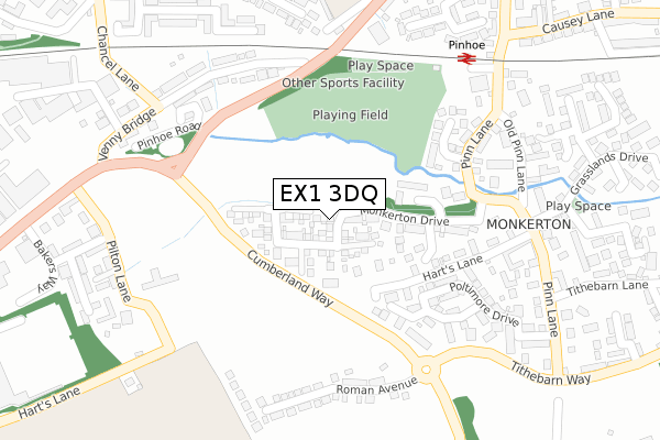
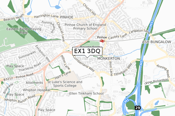
EX1 3DQ is located in the Pinhoe electoral ward, within the local authority district of Exeter and the English Parliamentary constituency of Exeter. The Sub Integrated Care Board (ICB) Location is NHS Devon ICB - 15N and the police force is Devon & Cornwall. This postcode has been in use since June 2018.


GetTheData
Source: OS Open Zoomstack (Ordnance Survey)
Licence: Open Government Licence (requires attribution)
Attribution: Contains OS data © Crown copyright and database right 2025
Source: Open Postcode Geo
Licence: Open Government Licence (requires attribution)
Attribution: Contains OS data © Crown copyright and database right 2025; Contains Royal Mail data © Royal Mail copyright and database right 2025; Source: Office for National Statistics licensed under the Open Government Licence v.3.0
| Easting | 296165 |
| Northing | 93920 |
| Latitude | 50.735571 |
| Longitude | -3.472792 |
GetTheData
Source: Open Postcode Geo
Licence: Open Government Licence
| Country | England |
| Postcode District | EX1 |
➜ See where EX1 is on a map ➜ Where is Exeter? | |
GetTheData
Source: Land Registry Price Paid Data
Licence: Open Government Licence
| Ward | Pinhoe |
| Constituency | Exeter |
GetTheData
Source: ONS Postcode Database
Licence: Open Government Licence
2022 17 MAY £465,000 |
2018 25 JUN £401,000 |
GetTheData
Source: HM Land Registry Price Paid Data
Licence: Contains HM Land Registry data © Crown copyright and database right 2025. This data is licensed under the Open Government Licence v3.0.
| Pinbridge Mews (Pinhoe Road) | Pinhoe | 229m |
| Pinbridge Mews (Pinhoe Road) | Pinhoe | 233m |
| Grasslands Drive (Pinn Lane) | Monkerton | 247m |
| Grasslands Drive (Pinn Lane) | Monkerton | 293m |
| Doctors Surgery (Pinn Lane) | Pinhoe | 327m |
| Pinhoe Station | 0.3km |
| Polsloe Bridge Station | 2.1km |
| Digby & Sowton Station | 2.4km |
GetTheData
Source: NaPTAN
Licence: Open Government Licence
GetTheData
Source: ONS Postcode Database
Licence: Open Government Licence


➜ Get more ratings from the Food Standards Agency
GetTheData
Source: Food Standards Agency
Licence: FSA terms & conditions
| Last Collection | |||
|---|---|---|---|
| Location | Mon-Fri | Sat | Distance |
| Monkerton | 18:15 | 12:45 | 309m |
| Harrington Lane | 18:15 | 12:45 | 561m |
| Pinhoe Post Office | 19:00 | 12:00 | 608m |
GetTheData
Source: Dracos
Licence: Creative Commons Attribution-ShareAlike
The below table lists the International Territorial Level (ITL) codes (formerly Nomenclature of Territorial Units for Statistics (NUTS) codes) and Local Administrative Units (LAU) codes for EX1 3DQ:
| ITL 1 Code | Name |
|---|---|
| TLK | South West (England) |
| ITL 2 Code | Name |
| TLK4 | Devon |
| ITL 3 Code | Name |
| TLK43 | Devon CC |
| LAU 1 Code | Name |
| E07000041 | Exeter |
GetTheData
Source: ONS Postcode Directory
Licence: Open Government Licence
The below table lists the Census Output Area (OA), Lower Layer Super Output Area (LSOA), and Middle Layer Super Output Area (MSOA) for EX1 3DQ:
| Code | Name | |
|---|---|---|
| OA | E00101254 | |
| LSOA | E01020004 | Exeter 003D |
| MSOA | E02004151 | Exeter 003 |
GetTheData
Source: ONS Postcode Directory
Licence: Open Government Licence
| EX1 3RX | Monkerton Drive | 70m |
| EX1 3XA | Broadleaf Close | 149m |
| EX1 3QP | Bazley Square | 170m |
| EX1 3QZ | Hummingbird Close | 204m |
| EX1 3QU | Pinn Lane | 210m |
| EX4 8BH | Venny Bridge | 240m |
| EX1 3QW | Pinn Lane | 247m |
| EX1 3RY | Harts Close | 249m |
| EX1 3QY | Pinn Lane | 251m |
| EX4 8HQ | Pinbridge Mews | 268m |
GetTheData
Source: Open Postcode Geo; Land Registry Price Paid Data
Licence: Open Government Licence