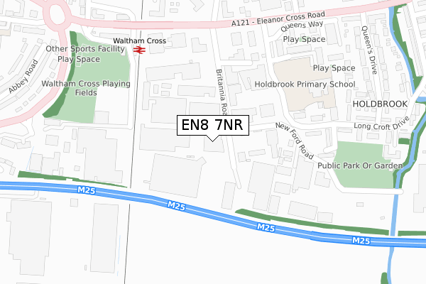
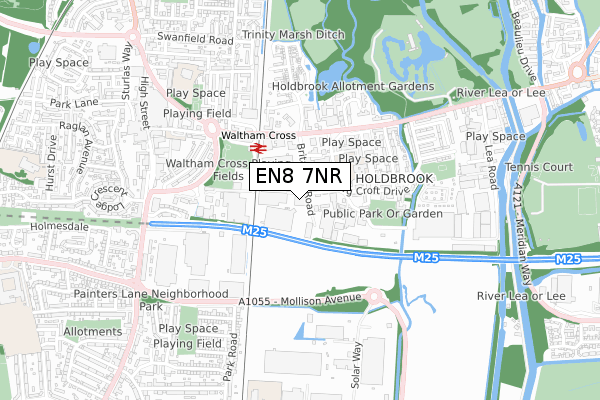
EN8 7NR is located in the Waltham Cross electoral ward, within the local authority district of Broxbourne and the English Parliamentary constituency of Broxbourne. The Sub Integrated Care Board (ICB) Location is NHS Hertfordshire and West Essex ICB - 06K and the police force is Hertfordshire. This postcode has been in use since January 1980.


GetTheData
Source: OS Open Zoomstack (Ordnance Survey)
Licence: Open Government Licence (requires attribution)
Attribution: Contains OS data © Crown copyright and database right 2025
Source: Open Postcode Geo
Licence: Open Government Licence (requires attribution)
Attribution: Contains OS data © Crown copyright and database right 2025; Contains Royal Mail data © Royal Mail copyright and database right 2025; Source: Office for National Statistics licensed under the Open Government Licence v.3.0
| Easting | 536700 |
| Northing | 200100 |
| Latitude | 51.683030 |
| Longitude | -0.024057 |
GetTheData
Source: Open Postcode Geo
Licence: Open Government Licence
| Country | England |
| Postcode District | EN8 |
➜ See where EN8 is on a map ➜ Where is Waltham Cross? | |
GetTheData
Source: Land Registry Price Paid Data
Licence: Open Government Licence
Elevation or altitude of EN8 7NR as distance above sea level:
| Metres | Feet | |
|---|---|---|
| Elevation | 20m | 66ft |
Elevation is measured from the approximate centre of the postcode, to the nearest point on an OS contour line from OS Terrain 50, which has contour spacing of ten vertical metres.
➜ How high above sea level am I? Find the elevation of your current position using your device's GPS.
GetTheData
Source: Open Postcode Elevation
Licence: Open Government Licence
| Ward | Waltham Cross |
| Constituency | Broxbourne |
GetTheData
Source: ONS Postcode Database
Licence: Open Government Licence
| Waltham Cross Railway Station (Eleanor Cross Road) | Waltham Cross | 326m |
| Waltham Cross Railway Station (Station Approach) | Waltham Cross | 333m |
| Waltham Cross Railway Station (Eleanor Cross Road) | Waltham Cross | 361m |
| Queensway (Eleanor Cross Road) | Waltham Cross | 399m |
| Queensway (Eleanor Cross Road) | Waltham Cross | 434m |
| Waltham Cross Station | 0.3km |
| Theobalds Grove Station | 1.3km |
| Enfield Lock Station | 1.4km |
GetTheData
Source: NaPTAN
Licence: Open Government Licence
GetTheData
Source: ONS Postcode Database
Licence: Open Government Licence

➜ Get more ratings from the Food Standards Agency
GetTheData
Source: Food Standards Agency
Licence: FSA terms & conditions
| Last Collection | |||
|---|---|---|---|
| Location | Mon-Fri | Sat | Distance |
| Holdbrook | 17:30 | 11:30 | 597m |
| Highbridge Street | 17:30 | 11:30 | 1,186m |
| Enfield Lock Station | 17:30 | 12:00 | 1,351m |
GetTheData
Source: Dracos
Licence: Creative Commons Attribution-ShareAlike
The below table lists the International Territorial Level (ITL) codes (formerly Nomenclature of Territorial Units for Statistics (NUTS) codes) and Local Administrative Units (LAU) codes for EN8 7NR:
| ITL 1 Code | Name |
|---|---|
| TLH | East |
| ITL 2 Code | Name |
| TLH2 | Bedfordshire and Hertfordshire |
| ITL 3 Code | Name |
| TLH23 | Hertfordshire CC |
| LAU 1 Code | Name |
| E07000095 | Broxbourne |
GetTheData
Source: ONS Postcode Directory
Licence: Open Government Licence
The below table lists the Census Output Area (OA), Lower Layer Super Output Area (LSOA), and Middle Layer Super Output Area (MSOA) for EN8 7NR:
| Code | Name | |
|---|---|---|
| OA | E00118563 | |
| LSOA | E01023338 | Broxbourne 013C |
| MSOA | E02004855 | Broxbourne 013 |
GetTheData
Source: ONS Postcode Directory
Licence: Open Government Licence
| EN8 7NZ | Britannia Road | 77m |
| EN8 7QH | Longcroft Drive | 215m |
| EN8 7QQ | Longcroft Drive | 250m |
| EN8 7QL | Longcroft Drive | 251m |
| EN8 7QJ | Fowley Close | 269m |
| EN8 7SR | Holdbrook South | 270m |
| EN8 7QG | Longcroft Drive | 296m |
| EN8 7SS | Holdbrook South | 312m |
| EN8 7PU | Berwick Close | 330m |
| EN8 7QE | Longcroft Drive | 345m |
GetTheData
Source: Open Postcode Geo; Land Registry Price Paid Data
Licence: Open Government Licence