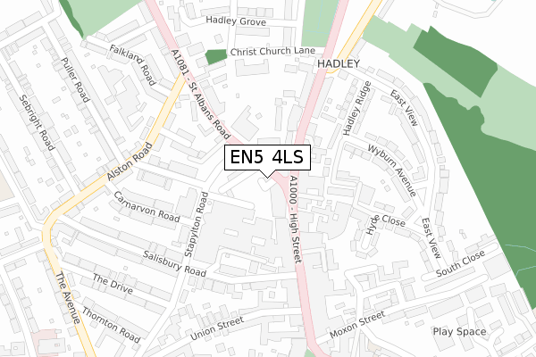
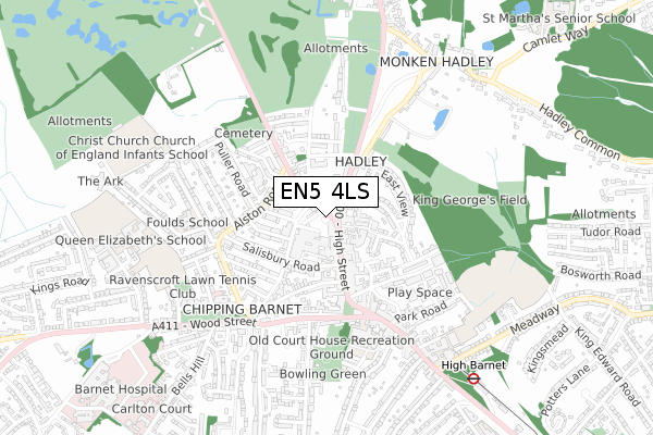
EN5 4LS is located in the High Barnet electoral ward, within the London borough of Barnet and the English Parliamentary constituency of Chipping Barnet. The Sub Integrated Care Board (ICB) Location is NHS North Central London ICB - 93C and the police force is Metropolitan Police. This postcode has been in use since October 2018.


GetTheData
Source: OS Open Zoomstack (Ordnance Survey)
Licence: Open Government Licence (requires attribution)
Attribution: Contains OS data © Crown copyright and database right 2025
Source: Open Postcode Geo
Licence: Open Government Licence (requires attribution)
Attribution: Contains OS data © Crown copyright and database right 2025; Contains Royal Mail data © Royal Mail copyright and database right 2025; Source: Office for National Statistics licensed under the Open Government Licence v.3.0
| Easting | 524436 |
| Northing | 196827 |
| Latitude | 51.656468 |
| Longitude | -0.202495 |
GetTheData
Source: Open Postcode Geo
Licence: Open Government Licence
| Country | England |
| Postcode District | EN5 |
➜ See where EN5 is on a map ➜ Where is Barnet? | |
GetTheData
Source: Land Registry Price Paid Data
Licence: Open Government Licence
| Ward | High Barnet |
| Constituency | Chipping Barnet |
GetTheData
Source: ONS Postcode Database
Licence: Open Government Licence
| St Albans Road Hadley Green (Barnet High Street) | Hadley | 53m |
| St. Albans Road | Hadley | 68m |
| St. Albans Road | Hadley | 93m |
| The Spires (Stapylton Road) | High Barnet | 100m |
| The Spires | High Barnet | 146m |
| High Barnet Underground Station | Barnet | 871m |
| New Barnet Station | 2.2km |
| Hadley Wood Station | 2.3km |
| Oakleigh Park Station | 3.3km |
GetTheData
Source: NaPTAN
Licence: Open Government Licence
GetTheData
Source: ONS Postcode Database
Licence: Open Government Licence


➜ Get more ratings from the Food Standards Agency
GetTheData
Source: Food Standards Agency
Licence: FSA terms & conditions
| Last Collection | |||
|---|---|---|---|
| Location | Mon-Fri | Sat | Distance |
| Grove Court | 18:30 | 12:00 | 97m |
| Hadley Parade | 18:30 | 97m | |
| Spires Libary | 18:15 | 12:00 | 135m |
GetTheData
Source: Dracos
Licence: Creative Commons Attribution-ShareAlike
The below table lists the International Territorial Level (ITL) codes (formerly Nomenclature of Territorial Units for Statistics (NUTS) codes) and Local Administrative Units (LAU) codes for EN5 4LS:
| ITL 1 Code | Name |
|---|---|
| TLI | London |
| ITL 2 Code | Name |
| TLI7 | Outer London - West and North West |
| ITL 3 Code | Name |
| TLI71 | Barnet |
| LAU 1 Code | Name |
| E09000003 | Barnet |
GetTheData
Source: ONS Postcode Directory
Licence: Open Government Licence
The below table lists the Census Output Area (OA), Lower Layer Super Output Area (LSOA), and Middle Layer Super Output Area (MSOA) for EN5 4LS:
| Code | Name | |
|---|---|---|
| OA | E00001228 | |
| LSOA | E01000248 | Barnet 001A |
| MSOA | E02000024 | Barnet 001 |
GetTheData
Source: ONS Postcode Directory
Licence: Open Government Licence
| EN5 5SY | High Street | 36m |
| EN5 4JX | St Albans Road | 51m |
| EN5 4JY | Nursery Row | 55m |
| EN5 4LP | Chipping Close | 63m |
| EN5 5XG | Nesbitts Alley | 77m |
| EN5 5UZ | High Street | 80m |
| EN5 5SZ | High Street | 82m |
| EN5 5SX | Hadley Parade | 84m |
| EN5 5XP | High Street | 107m |
| EN5 4LN | St Albans Road | 114m |
GetTheData
Source: Open Postcode Geo; Land Registry Price Paid Data
Licence: Open Government Licence