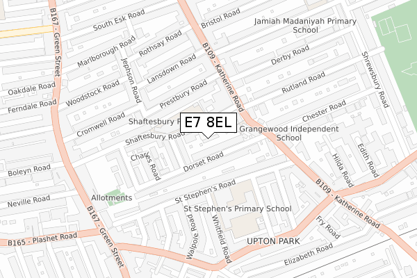
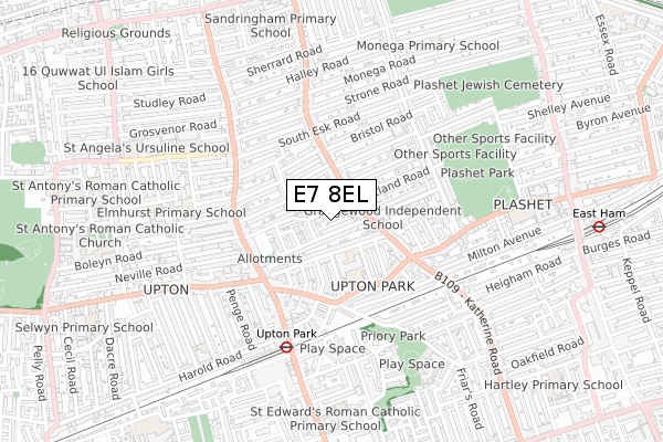
E7 8EL is located in the Green Street East electoral ward, within the London borough of Newham and the English Parliamentary constituency of East Ham. The Sub Integrated Care Board (ICB) Location is NHS North East London ICB - A3A8R and the police force is Metropolitan Police. This postcode has been in use since October 2019.


GetTheData
Source: OS Open Zoomstack (Ordnance Survey)
Licence: Open Government Licence (requires attribution)
Attribution: Contains OS data © Crown copyright and database right 2025
Source: Open Postcode Geo
Licence: Open Government Licence (requires attribution)
Attribution: Contains OS data © Crown copyright and database right 2025; Contains Royal Mail data © Royal Mail copyright and database right 2025; Source: Office for National Statistics licensed under the Open Government Licence v.3.0
| Easting | 541420 |
| Northing | 184271 |
| Latitude | 51.539630 |
| Longitude | 0.037818 |
GetTheData
Source: Open Postcode Geo
Licence: Open Government Licence
| Country | England |
| Postcode District | E7 |
➜ See where E7 is on a map ➜ Where is London? | |
GetTheData
Source: Land Registry Price Paid Data
Licence: Open Government Licence
| Ward | Green Street East |
| Constituency | East Ham |
GetTheData
Source: ONS Postcode Database
Licence: Open Government Licence
| Derby Road (Katherine Road) | Plashet | 124m |
| Derby Road | Plashet | 135m |
| St Stephen's Road (Katherine Road) | Upton Park | 222m |
| St Stephen's Road | Upton Park | 246m |
| South Esk Road | Upton | 282m |
| Upton Park Underground Station | Upton Park | 508m |
| East Ham Underground Station | East Ham | 932m |
| Plaistow Underground Station | Plaistow | 1,686m |
| Woodgrange Park Station | 1.2km |
| Forest Gate Station | 1.4km |
| Manor Park Station | 1.5km |
GetTheData
Source: NaPTAN
Licence: Open Government Licence
GetTheData
Source: ONS Postcode Database
Licence: Open Government Licence


➜ Get more ratings from the Food Standards Agency
GetTheData
Source: Food Standards Agency
Licence: FSA terms & conditions
| Last Collection | |||
|---|---|---|---|
| Location | Mon-Fri | Sat | Distance |
| 380 Katherine Road E7 | 17:30 | 12:00 | 282m |
| 241 Katherine Road E7 | 17:30 | 12:00 | 316m |
| St Stephens Parade | 17:30 | 12:00 | 319m |
GetTheData
Source: Dracos
Licence: Creative Commons Attribution-ShareAlike
The below table lists the International Territorial Level (ITL) codes (formerly Nomenclature of Territorial Units for Statistics (NUTS) codes) and Local Administrative Units (LAU) codes for E7 8EL:
| ITL 1 Code | Name |
|---|---|
| TLI | London |
| ITL 2 Code | Name |
| TLI4 | Inner London - East |
| ITL 3 Code | Name |
| TLI41 | Hackney and Newham |
| LAU 1 Code | Name |
| E09000025 | Newham |
GetTheData
Source: ONS Postcode Directory
Licence: Open Government Licence
The below table lists the Census Output Area (OA), Lower Layer Super Output Area (LSOA), and Middle Layer Super Output Area (MSOA) for E7 8EL:
| Code | Name | |
|---|---|---|
| OA | E00174980 | |
| LSOA | E01003564 | Newham 014B |
| MSOA | E02000727 | Newham 014 |
GetTheData
Source: ONS Postcode Directory
Licence: Open Government Licence
| E7 8PF | Shaftesbury Road | 24m |
| E7 8PS | Dorset Road | 30m |
| E7 8PR | Dorset Road | 62m |
| E7 8PY | Shaftesbury Road | 83m |
| E7 8PL | Shaftesbury Road | 91m |
| E7 8PE | Ashley Road | 97m |
| E7 8PJ | Katherine Road | 108m |
| E7 8NQ | Prestbury Road | 110m |
| E6 1AT | St Stephens Road | 118m |
| E7 8PG | Katherine Road | 127m |
GetTheData
Source: Open Postcode Geo; Land Registry Price Paid Data
Licence: Open Government Licence