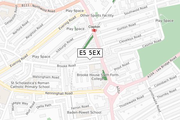
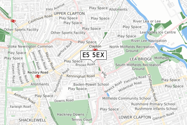
E5 5EX is located in the Hackney Downs electoral ward, within the London borough of Hackney and the English Parliamentary constituency of Hackney North and Stoke Newington. The Sub Integrated Care Board (ICB) Location is NHS North East London ICB - A3A8R and the police force is Metropolitan Police. This postcode has been in use since July 2019.


GetTheData
Source: OS Open Zoomstack (Ordnance Survey)
Licence: Open Government Licence (requires attribution)
Attribution: Contains OS data © Crown copyright and database right 2025
Source: Open Postcode Geo
Licence: Open Government Licence (requires attribution)
Attribution: Contains OS data © Crown copyright and database right 2025; Contains Royal Mail data © Royal Mail copyright and database right 2025; Source: Office for National Statistics licensed under the Open Government Licence v.3.0
| Easting | 534748 |
| Northing | 186354 |
| Latitude | 51.559980 |
| Longitude | -0.057531 |
GetTheData
Source: Open Postcode Geo
Licence: Open Government Licence
| Country | England |
| Postcode District | E5 |
➜ See where E5 is on a map ➜ Where is London? | |
GetTheData
Source: Land Registry Price Paid Data
Licence: Open Government Licence
| Ward | Hackney Downs |
| Constituency | Hackney North And Stoke Newington |
GetTheData
Source: ONS Postcode Database
Licence: Open Government Licence
| Upper Clapton Roadbrooke Road (Upper Clapton Road) | Lower Clapton | 82m |
| Lea Bridge Roundabout | Lower Clapton | 122m |
| Lea Bridge Roundabout B6 College | Lower Clapton | 171m |
| Clapton Station (Upper Clapton Road) | Upper Clapton | 202m |
| Nightingale Road (E5) (Nightingale Road) | Lower Clapton | 210m |
| Clapton Station | 0.2km |
| Rectory Road Station | 0.8km |
| Stoke Newington Station | 1.2km |
GetTheData
Source: NaPTAN
Licence: Open Government Licence
GetTheData
Source: ONS Postcode Database
Licence: Open Government Licence


➜ Get more ratings from the Food Standards Agency
GetTheData
Source: Food Standards Agency
Licence: FSA terms & conditions
| Last Collection | |||
|---|---|---|---|
| Location | Mon-Fri | Sat | Distance |
| Brooke Road E5 | 17:30 | 11:30 | 9m |
| 235 Lower Clapton Road E5 | 17:00 | 11:30 | 277m |
| O/S The Mount | 17:00 | 11:30 | 284m |
GetTheData
Source: Dracos
Licence: Creative Commons Attribution-ShareAlike
The below table lists the International Territorial Level (ITL) codes (formerly Nomenclature of Territorial Units for Statistics (NUTS) codes) and Local Administrative Units (LAU) codes for E5 5EX:
| ITL 1 Code | Name |
|---|---|
| TLI | London |
| ITL 2 Code | Name |
| TLI4 | Inner London - East |
| ITL 3 Code | Name |
| TLI41 | Hackney and Newham |
| LAU 1 Code | Name |
| E09000012 | Hackney |
GetTheData
Source: ONS Postcode Directory
Licence: Open Government Licence
The below table lists the Census Output Area (OA), Lower Layer Super Output Area (LSOA), and Middle Layer Super Output Area (MSOA) for E5 5EX:
| Code | Name | |
|---|---|---|
| OA | E00008815 | |
| LSOA | E01001767 | Hackney 010D |
| MSOA | E02000354 | Hackney 010 |
GetTheData
Source: ONS Postcode Directory
Licence: Open Government Licence
| E5 8AZ | Upper Clapton Road | 43m |
| E5 8AU | Brooke Road | 59m |
| E5 8AB | Brooke Road | 73m |
| E5 8BA | Upper Clapton Road | 85m |
| E5 8AX | Brooke Road | 90m |
| E5 8BD | Station Parade | 102m |
| E5 8BG | Upper Clapton Road | 102m |
| E5 8AT | Brooke Road | 104m |
| E5 8AY | Upper Clapton Road | 104m |
| E5 8AS | Brooke Road | 122m |
GetTheData
Source: Open Postcode Geo; Land Registry Price Paid Data
Licence: Open Government Licence