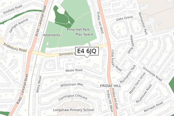
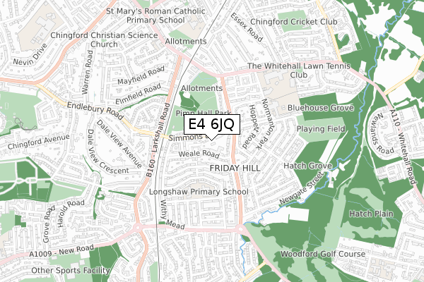
E4 6JQ is located in the Hatch Lane & Highams Park North electoral ward, within the London borough of Waltham Forest and the English Parliamentary constituency of Chingford and Woodford Green. The Sub Integrated Care Board (ICB) Location is NHS North East London ICB - A3A8R and the police force is Metropolitan Police. This postcode has been in use since October 2018.


GetTheData
Source: OS Open Zoomstack (Ordnance Survey)
Licence: Open Government Licence (requires attribution)
Attribution: Contains OS data © Crown copyright and database right 2025
Source: Open Postcode Geo
Licence: Open Government Licence (requires attribution)
Attribution: Contains OS data © Crown copyright and database right 2025; Contains Royal Mail data © Royal Mail copyright and database right 2025; Source: Office for National Statistics licensed under the Open Government Licence v.3.0
| Easting | 538984 |
| Northing | 193521 |
| Latitude | 51.623354 |
| Longitude | 0.006373 |
GetTheData
Source: Open Postcode Geo
Licence: Open Government Licence
| Country | England |
| Postcode District | E4 |
➜ See where E4 is on a map ➜ Where is Chingford? | |
GetTheData
Source: Land Registry Price Paid Data
Licence: Open Government Licence
| Ward | Hatch Lane & Highams Park North |
| Constituency | Chingford And Woodford Green |
GetTheData
Source: ONS Postcode Database
Licence: Open Government Licence
| Simmons Lane (Friday Hill) | Chingford Hatch | 131m |
| Simmons Lane (Friday Hill) | Chingford Hatch | 146m |
| Endlebury Road Chingford Green (Larkshall Road) | Chingford Green | 329m |
| Endlebury Road Chingford Green | Chingford Green | 334m |
| Whitehall Road (Friday Hill) | Chingford Green | 353m |
| Chingford Station | 1.1km |
| Highams Park Station | 1.7km |
| Ponders End Station | 3.6km |
GetTheData
Source: NaPTAN
Licence: Open Government Licence
| Percentage of properties with Next Generation Access | 100.0% |
| Percentage of properties with Superfast Broadband | 100.0% |
| Percentage of properties with Ultrafast Broadband | 0.0% |
| Percentage of properties with Full Fibre Broadband | 0.0% |
Superfast Broadband is between 30Mbps and 300Mbps
Ultrafast Broadband is > 300Mbps
| Percentage of properties unable to receive 2Mbps | 0.0% |
| Percentage of properties unable to receive 5Mbps | 0.0% |
| Percentage of properties unable to receive 10Mbps | 0.0% |
| Percentage of properties unable to receive 30Mbps | 0.0% |
GetTheData
Source: Ofcom
Licence: Ofcom Terms of Use (requires attribution)
GetTheData
Source: ONS Postcode Database
Licence: Open Government Licence


➜ Get more ratings from the Food Standards Agency
GetTheData
Source: Food Standards Agency
Licence: FSA terms & conditions
| Last Collection | |||
|---|---|---|---|
| Location | Mon-Fri | Sat | Distance |
| Buckrell Road | 17:30 | 11:30 | 171m |
| Friday Hill | 17:30 | 11:30 | 213m |
| Bluehouse Road | 17:30 | 11:30 | 364m |
GetTheData
Source: Dracos
Licence: Creative Commons Attribution-ShareAlike
The below table lists the International Territorial Level (ITL) codes (formerly Nomenclature of Territorial Units for Statistics (NUTS) codes) and Local Administrative Units (LAU) codes for E4 6JQ:
| ITL 1 Code | Name |
|---|---|
| TLI | London |
| ITL 2 Code | Name |
| TLI5 | Outer London - East and North East |
| ITL 3 Code | Name |
| TLI53 | Redbridge and Waltham Forest |
| LAU 1 Code | Name |
| E09000031 | Waltham Forest |
GetTheData
Source: ONS Postcode Directory
Licence: Open Government Licence
The below table lists the Census Output Area (OA), Lower Layer Super Output Area (LSOA), and Middle Layer Super Output Area (MSOA) for E4 6JQ:
| Code | Name | |
|---|---|---|
| OA | E00022065 | |
| LSOA | E01004384 | Waltham Forest 003A |
| MSOA | E02000897 | Waltham Forest 003 |
GetTheData
Source: ONS Postcode Directory
Licence: Open Government Licence
| E4 6JL | Weale Road | 85m |
| E4 6JH | Simmons Lane | 94m |
| E4 6JU | Boteley Close | 104m |
| E4 6JJ | Friday Hill West | 141m |
| E4 6JN | Buckrell Road | 161m |
| E4 6JR | Wittenham Way | 163m |
| E4 6HD | Little Friday Road | 195m |
| E4 6EN | Little Friday Road | 196m |
| E4 6HA | Hoppett Road | 228m |
| E4 6LB | Connington Crescent | 232m |
GetTheData
Source: Open Postcode Geo; Land Registry Price Paid Data
Licence: Open Government Licence