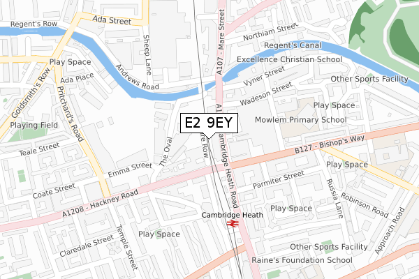
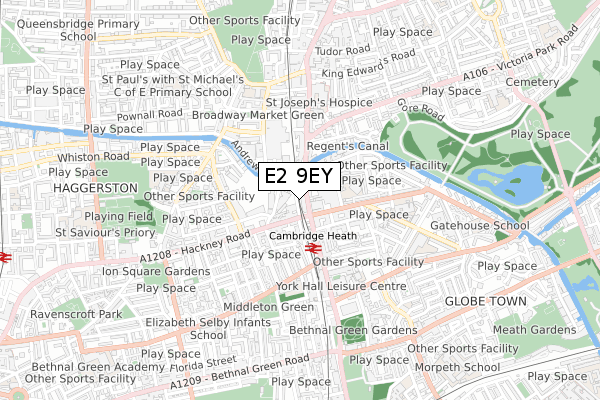
E2 9EY is located in the St Peter's electoral ward, within the London borough of Tower Hamlets and the English Parliamentary constituency of Bethnal Green and Bow. The Sub Integrated Care Board (ICB) Location is NHS North East London ICB - A3A8R and the police force is Metropolitan Police. This postcode has been in use since January 2018.


GetTheData
Source: OS Open Zoomstack (Ordnance Survey)
Licence: Open Government Licence (requires attribution)
Attribution: Contains OS data © Crown copyright and database right 2025
Source: Open Postcode Geo
Licence: Open Government Licence (requires attribution)
Attribution: Contains OS data © Crown copyright and database right 2025; Contains Royal Mail data © Royal Mail copyright and database right 2025; Source: Office for National Statistics licensed under the Open Government Licence v.3.0
| Easting | 534817 |
| Northing | 183372 |
| Latitude | 51.533166 |
| Longitude | -0.057677 |
GetTheData
Source: Open Postcode Geo
Licence: Open Government Licence
| Country | England |
| Postcode District | E2 |
➜ See where E2 is on a map | |
GetTheData
Source: Land Registry Price Paid Data
Licence: Open Government Licence
| Ward | St Peter's |
| Constituency | Bethnal Green And Bow |
GetTheData
Source: ONS Postcode Database
Licence: Open Government Licence
| Cambridge Heath Station (Cambridge Heath Road) | Bethnal Green | 36m |
| Cambridge Heath Station | Bethnal Green | 68m |
| Cambridge Heath Station | Bethnal Green | 90m |
| Cambridge Heath Station | Bethnal Green | 127m |
| Andrews Road | Bethnal Green | 183m |
| Bethnal Green Underground Station | Bethnal Green | 679m |
| Stepney Green Underground Station | Stepney Green | 1,475m |
| Cambridge Heath (London) Station | 0.1km |
| London Fields Station | 0.9km |
| Bethnal Green Station | 1km |
GetTheData
Source: NaPTAN
Licence: Open Government Licence
| Percentage of properties with Next Generation Access | 100.0% |
| Percentage of properties with Superfast Broadband | 100.0% |
| Percentage of properties with Ultrafast Broadband | 100.0% |
| Percentage of properties with Full Fibre Broadband | 0.0% |
Superfast Broadband is between 30Mbps and 300Mbps
Ultrafast Broadband is > 300Mbps
| Percentage of properties unable to receive 2Mbps | 0.0% |
| Percentage of properties unable to receive 5Mbps | 0.0% |
| Percentage of properties unable to receive 10Mbps | 0.0% |
| Percentage of properties unable to receive 30Mbps | 0.0% |
GetTheData
Source: Ofcom
Licence: Ofcom Terms of Use (requires attribution)
GetTheData
Source: ONS Postcode Database
Licence: Open Government Licence


➜ Get more ratings from the Food Standards Agency
GetTheData
Source: Food Standards Agency
Licence: FSA terms & conditions
| Last Collection | |||
|---|---|---|---|
| Location | Mon-Fri | Sat | Distance |
| 481 Cambridge Heath Road E2 | 18:30 | 12:00 | 53m |
| Cambridge Heath Road | 18:30 | 11:30 | 317m |
| Bishops Way | 18:30 | 11:30 | 382m |
GetTheData
Source: Dracos
Licence: Creative Commons Attribution-ShareAlike
The below table lists the International Territorial Level (ITL) codes (formerly Nomenclature of Territorial Units for Statistics (NUTS) codes) and Local Administrative Units (LAU) codes for E2 9EY:
| ITL 1 Code | Name |
|---|---|
| TLI | London |
| ITL 2 Code | Name |
| TLI4 | Inner London - East |
| ITL 3 Code | Name |
| TLI42 | Tower Hamlets |
| LAU 1 Code | Name |
| E09000030 | Tower Hamlets |
GetTheData
Source: ONS Postcode Directory
Licence: Open Government Licence
The below table lists the Census Output Area (OA), Lower Layer Super Output Area (LSOA), and Middle Layer Super Output Area (MSOA) for E2 9EY:
| Code | Name | |
|---|---|---|
| OA | E00167244 | |
| LSOA | E01004197 | Tower Hamlets 002A |
| MSOA | E02000865 | Tower Hamlets 002 |
GetTheData
Source: ONS Postcode Directory
Licence: Open Government Licence
| E2 9BU | Cambridge Heath Road | 26m |
| E2 9BT | Hare Row | 51m |
| E2 9EE | Hackney Road | 92m |
| E2 9ED | Hackney Road | 99m |
| E2 9DS | Corbridge Crescent | 103m |
| E2 9EQ | Hackney Road | 107m |
| E2 9DT | The Oval | 119m |
| E2 9DR | Wadeson Street | 131m |
| E2 9EG | Hackney Road | 150m |
| E8 4RL | Andrews Road | 151m |
GetTheData
Source: Open Postcode Geo; Land Registry Price Paid Data
Licence: Open Government Licence