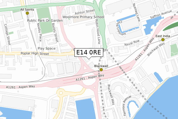
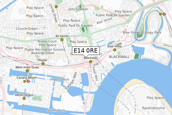
E14 0RE is located in the Poplar electoral ward, within the London borough of Tower Hamlets and the English Parliamentary constituency of Poplar and Limehouse. The Sub Integrated Care Board (ICB) Location is NHS North East London ICB - A3A8R and the police force is Metropolitan Police. This postcode has been in use since February 2020.


GetTheData
Source: OS Open Zoomstack (Ordnance Survey)
Licence: Open Government Licence (requires attribution)
Attribution: Contains OS data © Crown copyright and database right 2025
Source: Open Postcode Geo
Licence: Open Government Licence (requires attribution)
Attribution: Contains OS data © Crown copyright and database right 2025; Contains Royal Mail data © Royal Mail copyright and database right 2025; Source: Office for National Statistics licensed under the Open Government Licence v.3.0
| Easting | 538325 |
| Northing | 180719 |
| Latitude | 51.508478 |
| Longitude | -0.008174 |
GetTheData
Source: Open Postcode Geo
Licence: Open Government Licence
| Country | England |
| Postcode District | E14 |
➜ See where E14 is on a map ➜ Where is London? | |
GetTheData
Source: Land Registry Price Paid Data
Licence: Open Government Licence
| Ward | Poplar |
| Constituency | Poplar And Limehouse |
GetTheData
Source: ONS Postcode Database
Licence: Open Government Licence
| Blackwall (Ditchburn Street) | Blackwall | 63m |
| Blackwall (Ditchburn Street) | Blackwall | 88m |
| Poplar High Street Blackwall | Blackwall | 134m |
| Cotton Street | Poplar | 170m |
| Poplar High Street (Cotton Street) | All Saints | 190m |
| Blackwall Dlr Station (Preston's Road) | Blackwall | 101m |
| East India Dlr Station (Aspen Way) | East India | 419m |
| All Saints Dlr Station (East India Dock Road) | All Saints | 443m |
| Poplar Dlr Station (Castor Lane) | Poplar | 643m |
| Langdon Park Dlr Station (Hay Currie Street) | Poplar | 851m |
| Limehouse Station | 2.2km |
| West Ham Station | 2.4km |
| Maze Hill Station | 3km |
GetTheData
Source: NaPTAN
Licence: Open Government Licence
GetTheData
Source: ONS Postcode Database
Licence: Open Government Licence


➜ Get more ratings from the Food Standards Agency
GetTheData
Source: Food Standards Agency
Licence: FSA terms & conditions
| Last Collection | |||
|---|---|---|---|
| Location | Mon-Fri | Sat | Distance |
| 257 Poplar High Street E14 | 17:30 | 11:30 | 117m |
| Baffin Way | 17:30 | 11:30 | 209m |
| 15 Castalia Square E14 | 19:00 | 12:00 | 248m |
GetTheData
Source: Dracos
Licence: Creative Commons Attribution-ShareAlike
The below table lists the International Territorial Level (ITL) codes (formerly Nomenclature of Territorial Units for Statistics (NUTS) codes) and Local Administrative Units (LAU) codes for E14 0RE:
| ITL 1 Code | Name |
|---|---|
| TLI | London |
| ITL 2 Code | Name |
| TLI4 | Inner London - East |
| ITL 3 Code | Name |
| TLI42 | Tower Hamlets |
| LAU 1 Code | Name |
| E09000030 | Tower Hamlets |
GetTheData
Source: ONS Postcode Directory
Licence: Open Government Licence
The below table lists the Census Output Area (OA), Lower Layer Super Output Area (LSOA), and Middle Layer Super Output Area (MSOA) for E14 0RE:
| Code | Name | |
|---|---|---|
| OA | E00167150 | |
| LSOA | E01004219 | Tower Hamlets 028B |
| MSOA | E02000891 | Tower Hamlets 028 |
GetTheData
Source: ONS Postcode Directory
Licence: Open Government Licence
| E14 9EL | Prestons Road | 76m |
| E14 9EX | Prestons Road | 76m |
| E14 0BN | Poplar High Street | 96m |
| E14 0HG | Robin Hood Gardens | 106m |
| E14 0HQ | Robin Hood Gardens | 106m |
| E14 0BE | Poplar High Street | 134m |
| E14 0BQ | Poplar High Street | 136m |
| E14 0EU | Bazely Street | 165m |
| E14 5SP | Trafalgar Way | 175m |
| E14 0BB | Poplar High Street | 192m |
GetTheData
Source: Open Postcode Geo; Land Registry Price Paid Data
Licence: Open Government Licence