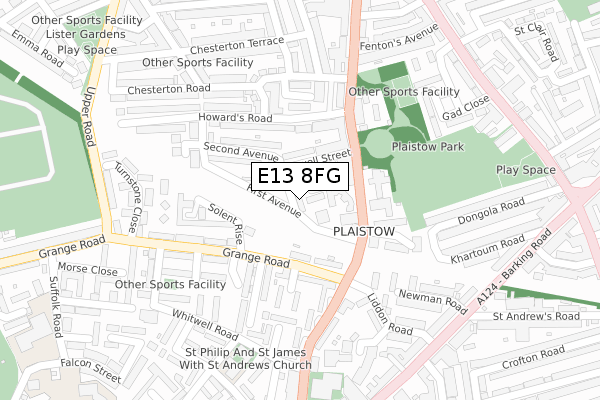
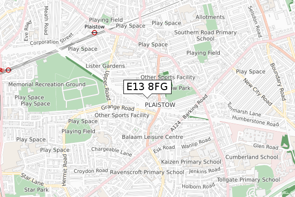
E13 8FG is located in the Plaistow West & Canning Town East electoral ward, within the London borough of Newham and the English Parliamentary constituency of West Ham. The Sub Integrated Care Board (ICB) Location is NHS North East London ICB - A3A8R and the police force is Metropolitan Police. This postcode has been in use since September 2019.


GetTheData
Source: OS Open Zoomstack (Ordnance Survey)
Licence: Open Government Licence (requires attribution)
Attribution: Contains OS data © Crown copyright and database right 2025
Source: Open Postcode Geo
Licence: Open Government Licence (requires attribution)
Attribution: Contains OS data © Crown copyright and database right 2025; Contains Royal Mail data © Royal Mail copyright and database right 2025; Source: Office for National Statistics licensed under the Open Government Licence v.3.0
| Easting | 540411 |
| Northing | 182738 |
| Latitude | 51.526107 |
| Longitude | 0.022668 |
GetTheData
Source: Open Postcode Geo
Licence: Open Government Licence
| Country | England |
| Postcode District | E13 |
➜ See where E13 is on a map ➜ Where is London? | |
GetTheData
Source: Land Registry Price Paid Data
Licence: Open Government Licence
| Ward | Plaistow West & Canning Town East |
| Constituency | West Ham |
GetTheData
Source: ONS Postcode Database
Licence: Open Government Licence
| Balaam Park Health Centre (Balaam Street) | Plaistow | 85m |
| Sewell Street (Balaam Street) | Plaistow | 136m |
| Sewell Street (Balaam Street) | Plaistow | 163m |
| Liddon Road (Balaam Street) | Plaistow | 169m |
| Plaistow Police Station (Barking Road) | Plaistow | 338m |
| Plaistow Underground Station | Plaistow | 685m |
| West Ham Underground Station | West Ham | 1,241m |
| West Ham Dlr Station | West Ham | 1,276m |
| Upton Park Underground Station | Upton Park | 1,350m |
| Star Lane Dlr Station | Canning Town | 1,413m |
| West Ham Station | 1.2km |
| Maryland Station | 2.5km |
| Stratford (London) Station | 2.5km |
GetTheData
Source: NaPTAN
Licence: Open Government Licence
GetTheData
Source: ONS Postcode Database
Licence: Open Government Licence


➜ Get more ratings from the Food Standards Agency
GetTheData
Source: Food Standards Agency
Licence: FSA terms & conditions
| Last Collection | |||
|---|---|---|---|
| Location | Mon-Fri | Sat | Distance |
| 62 Balaam Street | 17:30 | 11:30 | 153m |
| Grange Road | 17:30 | 11:30 | 250m |
| Liddon Road | 17:30 | 11:30 | 285m |
GetTheData
Source: Dracos
Licence: Creative Commons Attribution-ShareAlike
The below table lists the International Territorial Level (ITL) codes (formerly Nomenclature of Territorial Units for Statistics (NUTS) codes) and Local Administrative Units (LAU) codes for E13 8FG:
| ITL 1 Code | Name |
|---|---|
| TLI | London |
| ITL 2 Code | Name |
| TLI4 | Inner London - East |
| ITL 3 Code | Name |
| TLI41 | Hackney and Newham |
| LAU 1 Code | Name |
| E09000025 | Newham |
GetTheData
Source: ONS Postcode Directory
Licence: Open Government Licence
The below table lists the Census Output Area (OA), Lower Layer Super Output Area (LSOA), and Middle Layer Super Output Area (MSOA) for E13 8FG:
| Code | Name | |
|---|---|---|
| OA | E00018120 | |
| LSOA | E01003594 | Newham 026A |
| MSOA | E02000739 | Newham 026 |
GetTheData
Source: ONS Postcode Directory
Licence: Open Government Licence
| E13 8AD | Lacewing Close | 54m |
| E13 8AP | First Avenue | 72m |
| E13 0EQ | Grange Road | 92m |
| E13 8AF | Balaam Street | 106m |
| E13 8AT | Sewell Street | 107m |
| E13 0EF | Grange Road | 116m |
| E13 8AS | Second Avenue | 133m |
| E13 0EE | Grange Road | 134m |
| E13 8RD | Balaam Street | 137m |
| E13 8AY | Howards Road | 157m |
GetTheData
Source: Open Postcode Geo; Land Registry Price Paid Data
Licence: Open Government Licence