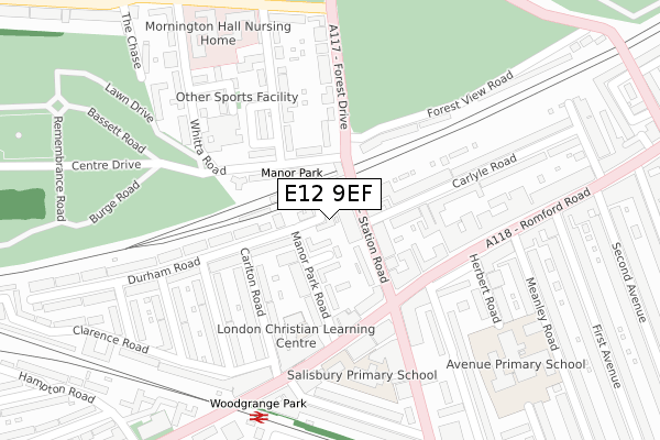
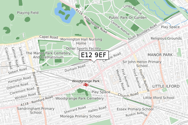
E12 9EF is located in the Manor Park electoral ward, within the London borough of Newham and the English Parliamentary constituency of East Ham. The Sub Integrated Care Board (ICB) Location is NHS North East London ICB - A3A8R and the police force is Metropolitan Police. This postcode has been in use since December 2021.


GetTheData
Source: OS Open Zoomstack (Ordnance Survey)
Licence: Open Government Licence (requires attribution)
Attribution: Contains OS data © Crown copyright and database right 2025
Source: Open Postcode Geo
Licence: Open Government Licence (requires attribution)
Attribution: Contains OS data © Crown copyright and database right 2025; Contains Royal Mail data © Royal Mail copyright and database right 2025; Source: Office for National Statistics licensed under the Open Government Licence v.3.0
| Easting | 541965 |
| Northing | 185650 |
| Latitude | 51.551885 |
| Longitude | 0.046226 |
GetTheData
Source: Open Postcode Geo
Licence: Open Government Licence
| Country | England |
| Postcode District | E12 |
➜ See where E12 is on a map ➜ Where is London? | |
GetTheData
Source: Land Registry Price Paid Data
Licence: Open Government Licence
| Ward | Manor Park |
| Constituency | East Ham |
GetTheData
Source: ONS Postcode Database
Licence: Open Government Licence
| Manor Park Rail Station (Station Road) | Manor Park | 42m |
| Manor Park Rail Station (Station Road) | Manor Park | 61m |
| Romford Road (E12) | Manor Park | 92m |
| High Street North Manor Park (Romford Road) | Manor Park | 167m |
| High Street North Manor Park (Romford Road) | Manor Park | 192m |
| East Ham Underground Station | East Ham | 1,480m |
| Manor Park Station | 0.1km |
| Woodgrange Park Station | 0.3km |
| Wanstead Park Station | 1.4km |
GetTheData
Source: NaPTAN
Licence: Open Government Licence
GetTheData
Source: ONS Postcode Database
Licence: Open Government Licence


➜ Get more ratings from the Food Standards Agency
GetTheData
Source: Food Standards Agency
Licence: FSA terms & conditions
| Last Collection | |||
|---|---|---|---|
| Location | Mon-Fri | Sat | Distance |
| Manor Park Road E12 | 17:30 | 11:30 | 24m |
| Durham Road | 17:30 | 11:30 | 145m |
| 667 Romford Road E12 | 17:30 | 12:00 | 161m |
GetTheData
Source: Dracos
Licence: Creative Commons Attribution-ShareAlike
The below table lists the International Territorial Level (ITL) codes (formerly Nomenclature of Territorial Units for Statistics (NUTS) codes) and Local Administrative Units (LAU) codes for E12 9EF:
| ITL 1 Code | Name |
|---|---|
| TLI | London |
| ITL 2 Code | Name |
| TLI4 | Inner London - East |
| ITL 3 Code | Name |
| TLI41 | Hackney and Newham |
| LAU 1 Code | Name |
| E09000025 | Newham |
GetTheData
Source: ONS Postcode Directory
Licence: Open Government Licence
The below table lists the Census Output Area (OA), Lower Layer Super Output Area (LSOA), and Middle Layer Super Output Area (MSOA) for E12 9EF:
| Code | Name | |
|---|---|---|
| OA | E00018099 | |
| LSOA | E01003591 | Newham 004D |
| MSOA | E02000717 | Newham 004 |
GetTheData
Source: ONS Postcode Directory
Licence: Open Government Licence
| E12 5AU | Barnes Close | 50m |
| E12 5BP | Station Road | 52m |
| E12 5AT | Manor Park Road | 73m |
| E12 5BT | Station Road | 73m |
| E12 5BS | The Birches | 78m |
| E12 5AB | Manor Park Road | 86m |
| E12 5DA | Whitta Road | 112m |
| E12 6BL | Carlyle Road | 160m |
| E12 6BN | Carlyle Road | 167m |
| E12 5DT | Keller Crescent | 178m |
GetTheData
Source: Open Postcode Geo; Land Registry Price Paid Data
Licence: Open Government Licence