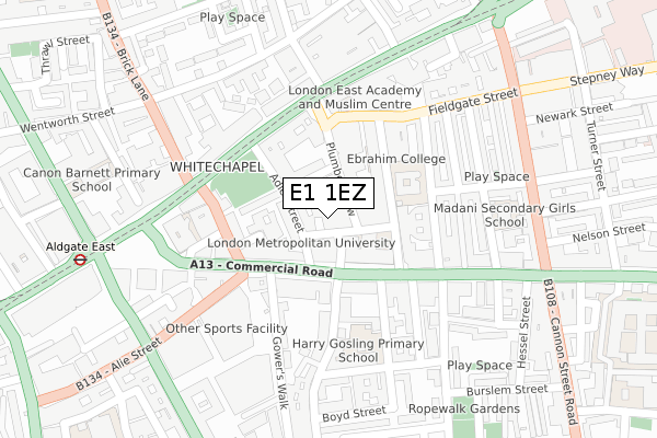
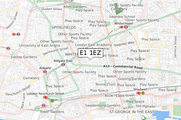
E1 1EZ is located in the Whitechapel electoral ward, within the London borough of Tower Hamlets and the English Parliamentary constituency of Bethnal Green and Bow. The Sub Integrated Care Board (ICB) Location is NHS North East London ICB - A3A8R and the police force is Metropolitan Police. This postcode has been in use since February 2018.


GetTheData
Source: OS Open Zoomstack (Ordnance Survey)
Licence: Open Government Licence (requires attribution)
Attribution: Contains OS data © Crown copyright and database right 2025
Source: Open Postcode Geo
Licence: Open Government Licence (requires attribution)
Attribution: Contains OS data © Crown copyright and database right 2025; Contains Royal Mail data © Royal Mail copyright and database right 2025; Source: Office for National Statistics licensed under the Open Government Licence v.3.0
| Easting | 534246 |
| Northing | 181403 |
| Latitude | 51.515608 |
| Longitude | -0.066654 |
GetTheData
Source: Open Postcode Geo
Licence: Open Government Licence
| Country | England |
| Postcode District | E1 |
➜ See where E1 is on a map ➜ Where is Stepney? | |
GetTheData
Source: Land Registry Price Paid Data
Licence: Open Government Licence
| Ward | Whitechapel |
| Constituency | Bethnal Green And Bow |
GetTheData
Source: ONS Postcode Database
Licence: Open Government Licence
| London Metropolitan University | Whitechapel | 73m |
| London Metropolitan University (Commercial Road) | Whitechapel | 138m |
| Adler Street | Whitechapel | 176m |
| Adler Street (Whitechapel Road) | Whitechapel | 192m |
| Aldgate East | Aldgate East | 249m |
| Aldgate East Underground Station | Aldgate East | 401m |
| Whitechapel Underground Station | Whitechapel | 637m |
| Aldgate Underground Station | Aldgate | 643m |
| Tower Gateway Dlr Station (Minories) | Tower Gateway | 792m |
| Shadwell Dlr Station (Martha Street) | Shadwell | 822m |
| Whitechapel Station | 0.6km |
| Shadwell Station | 0.8km |
| London Fenchurch Street Station | 1km |
GetTheData
Source: NaPTAN
Licence: Open Government Licence
GetTheData
Source: ONS Postcode Database
Licence: Open Government Licence


➜ Get more ratings from the Food Standards Agency
GetTheData
Source: Food Standards Agency
Licence: FSA terms & conditions
| Last Collection | |||
|---|---|---|---|
| Location | Mon-Fri | Sat | Distance |
| Commercial Road | 18:30 | 11:30 | 129m |
| Commercial Road | 18:30 | 11:30 | 129m |
| O/S 75 Whitechapel Road | 18:30 | 11:30 | 202m |
GetTheData
Source: Dracos
Licence: Creative Commons Attribution-ShareAlike
The below table lists the International Territorial Level (ITL) codes (formerly Nomenclature of Territorial Units for Statistics (NUTS) codes) and Local Administrative Units (LAU) codes for E1 1EZ:
| ITL 1 Code | Name |
|---|---|
| TLI | London |
| ITL 2 Code | Name |
| TLI4 | Inner London - East |
| ITL 3 Code | Name |
| TLI42 | Tower Hamlets |
| LAU 1 Code | Name |
| E09000030 | Tower Hamlets |
GetTheData
Source: ONS Postcode Directory
Licence: Open Government Licence
The below table lists the Census Output Area (OA), Lower Layer Super Output Area (LSOA), and Middle Layer Super Output Area (MSOA) for E1 1EZ:
| Code | Name | |
|---|---|---|
| OA | E00021741 | |
| LSOA | E01004325 | Tower Hamlets 021D |
| MSOA | E02000884 | Tower Hamlets 021 |
GetTheData
Source: ONS Postcode Directory
Licence: Open Government Licence
| E1 1ER | Coke Street | 2m |
| E1 1EP | Plumbers Row | 47m |
| E1 1LF | Commercial Road | 56m |
| E1 1EQ | Plumbers Row | 60m |
| E1 1AG | Plumbers Row | 66m |
| E1 1AE | Plumbers Row | 72m |
| E1 1LA | Commercial Road | 85m |
| E1 1EJ | Greenfield Road | 90m |
| E1 1BX | Plumbers Row | 100m |
| E1 1HD | Adler Street | 105m |
GetTheData
Source: Open Postcode Geo; Land Registry Price Paid Data
Licence: Open Government Licence