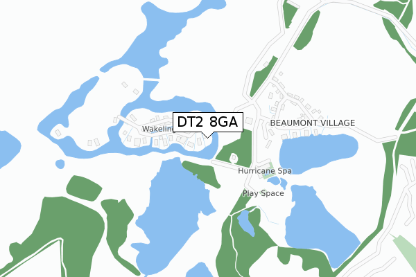
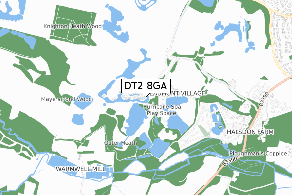
DT2 8GA is located in the Crossways electoral ward, within the unitary authority of Dorset and the English Parliamentary constituency of South Dorset. The Sub Integrated Care Board (ICB) Location is NHS Dorset ICB - 11J and the police force is Dorset. This postcode has been in use since July 2018.


GetTheData
Source: OS Open Zoomstack (Ordnance Survey)
Licence: Open Government Licence (requires attribution)
Attribution: Contains OS data © Crown copyright and database right 2025
Source: Open Postcode Geo
Licence: Open Government Licence (requires attribution)
Attribution: Contains OS data © Crown copyright and database right 2025; Contains Royal Mail data © Royal Mail copyright and database right 2025; Source: Office for National Statistics licensed under the Open Government Licence v.3.0
| Easting | 375447 |
| Northing | 87966 |
| Latitude | 50.690810 |
| Longitude | -2.348955 |
GetTheData
Source: Open Postcode Geo
Licence: Open Government Licence
| Country | England |
| Postcode District | DT2 |
➜ See where DT2 is on a map | |
GetTheData
Source: Land Registry Price Paid Data
Licence: Open Government Licence
| Ward | Crossways |
| Constituency | South Dorset |
GetTheData
Source: ONS Postcode Database
Licence: Open Government Licence
| Warmwell Leisure Resort | Crossways | 908m |
| Warmwell Leisure Resort (Warmwell Road) | Crossways | 923m |
| Empool Close (Mount Skippet Way) | Crossways | 1,242m |
| Empool Close (Mount Skippet Way) | Crossways | 1,243m |
| Egdon Heath (C33) | Higher Woodsford | 1,248m |
| Moreton (Dorset) Station | 2.8km |
GetTheData
Source: NaPTAN
Licence: Open Government Licence
| Percentage of properties with Next Generation Access | 100.0% |
| Percentage of properties with Superfast Broadband | 100.0% |
| Percentage of properties with Ultrafast Broadband | 100.0% |
| Percentage of properties with Full Fibre Broadband | 100.0% |
Superfast Broadband is between 30Mbps and 300Mbps
Ultrafast Broadband is > 300Mbps
| Percentage of properties unable to receive 2Mbps | 0.0% |
| Percentage of properties unable to receive 5Mbps | 0.0% |
| Percentage of properties unable to receive 10Mbps | 0.0% |
| Percentage of properties unable to receive 30Mbps | 0.0% |
GetTheData
Source: Ofcom
Licence: Ofcom Terms of Use (requires attribution)
GetTheData
Source: ONS Postcode Database
Licence: Open Government Licence


➜ Get more ratings from the Food Standards Agency
GetTheData
Source: Food Standards Agency
Licence: FSA terms & conditions
| Last Collection | |||
|---|---|---|---|
| Location | Mon-Fri | Sat | Distance |
| Norht East Caravan Park | 12:45 | 10:30 | 1,009m |
| Paul Ways Crossways | 12:30 | 11:00 | 1,367m |
| Dick O The Banks | 12:30 | 11:00 | 1,691m |
GetTheData
Source: Dracos
Licence: Creative Commons Attribution-ShareAlike
The below table lists the International Territorial Level (ITL) codes (formerly Nomenclature of Territorial Units for Statistics (NUTS) codes) and Local Administrative Units (LAU) codes for DT2 8GA:
| ITL 1 Code | Name |
|---|---|
| TLK | South West (England) |
| ITL 2 Code | Name |
| TLK2 | Dorset and Somerset |
| ITL 3 Code | Name |
| TLK25 | Dorset |
| LAU 1 Code | Name |
| E06000059 | Dorset |
GetTheData
Source: ONS Postcode Directory
Licence: Open Government Licence
The below table lists the Census Output Area (OA), Lower Layer Super Output Area (LSOA), and Middle Layer Super Output Area (MSOA) for DT2 8GA:
| Code | Name | |
|---|---|---|
| OA | E00104157 | |
| LSOA | E01020537 | West Dorset 011B |
| MSOA | E02004279 | West Dorset 011 |
GetTheData
Source: ONS Postcode Directory
Licence: Open Government Licence
| DT2 8JQ | Oaklands Park | 954m |
| DT2 8BT | 1044m | |
| DT2 8TN | Airfield Close | 1210m |
| DT2 8TY | Hurricane Close | 1239m |
| DT2 8BX | Empool Close | 1258m |
| DT2 8BU | Mount Skippet Way | 1272m |
| DT2 8TX | Moynton Close | 1291m |
| DT2 8TZ | Spitfire Close | 1306m |
| DT2 8XR | Yalbury Lane | 1327m |
| DT2 8BN | Combe Way | 1332m |
GetTheData
Source: Open Postcode Geo; Land Registry Price Paid Data
Licence: Open Government Licence