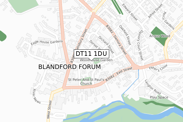
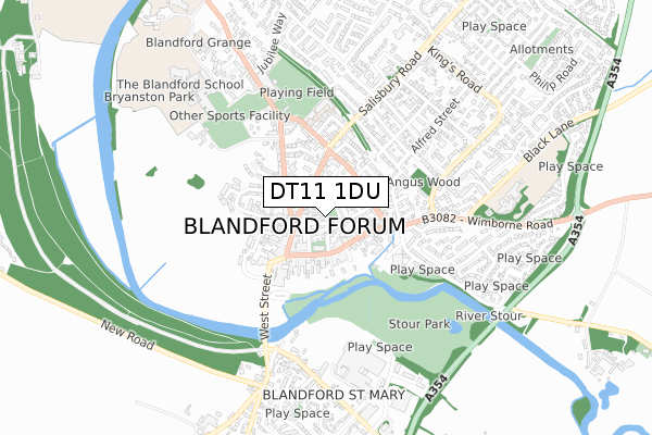
DT11 1DU is located in the Blandford electoral ward, within the unitary authority of Dorset and the English Parliamentary constituency of North Dorset. The Sub Integrated Care Board (ICB) Location is NHS Dorset ICB - 11J and the police force is Dorset. This postcode has been in use since September 2017.


GetTheData
Source: OS Open Zoomstack (Ordnance Survey)
Licence: Open Government Licence (requires attribution)
Attribution: Contains OS data © Crown copyright and database right 2024
Source: Open Postcode Geo
Licence: Open Government Licence (requires attribution)
Attribution: Contains OS data © Crown copyright and database right 2024; Contains Royal Mail data © Royal Mail copyright and database right 2024; Source: Office for National Statistics licensed under the Open Government Licence v.3.0
| Easting | 388591 |
| Northing | 106430 |
| Latitude | 50.857260 |
| Longitude | -2.163455 |
GetTheData
Source: Open Postcode Geo
Licence: Open Government Licence
| Country | England |
| Postcode District | DT11 |
➜ See where DT11 is on a map ➜ Where is Blandford Forum? | |
GetTheData
Source: Land Registry Price Paid Data
Licence: Open Government Licence
| Ward | Blandford |
| Constituency | North Dorset |
GetTheData
Source: ONS Postcode Database
Licence: Open Government Licence
| Market Place | Blandford Forum | 152m |
| Market Place | Blandford Forum | 154m |
| The Half Moon (Mill Street) | Blandford Forum | 156m |
| Crown Hotel (West Street) | Blandford Forum | 257m |
| Co-op Car Park | Blandford Forum | 288m |
GetTheData
Source: NaPTAN
Licence: Open Government Licence
GetTheData
Source: ONS Postcode Database
Licence: Open Government Licence


➜ Get more ratings from the Food Standards Agency
GetTheData
Source: Food Standards Agency
Licence: FSA terms & conditions
| Last Collection | |||
|---|---|---|---|
| Location | Mon-Fri | Sat | Distance |
| Badger | 16:00 | 11:30 | 283m |
| Milldown Road | 16:00 | 11:00 | 564m |
| Queens Road | 16:00 | 11:30 | 665m |
GetTheData
Source: Dracos
Licence: Creative Commons Attribution-ShareAlike
The below table lists the International Territorial Level (ITL) codes (formerly Nomenclature of Territorial Units for Statistics (NUTS) codes) and Local Administrative Units (LAU) codes for DT11 1DU:
| ITL 1 Code | Name |
|---|---|
| TLK | South West (England) |
| ITL 2 Code | Name |
| TLK2 | Dorset and Somerset |
| ITL 3 Code | Name |
| TLK25 | Dorset |
| LAU 1 Code | Name |
| E06000059 | Dorset |
GetTheData
Source: ONS Postcode Directory
Licence: Open Government Licence
The below table lists the Census Output Area (OA), Lower Layer Super Output Area (LSOA), and Middle Layer Super Output Area (MSOA) for DT11 1DU:
| Code | Name | |
|---|---|---|
| OA | E00103568 | |
| LSOA | E01020438 | North Dorset 007D |
| MSOA | E02004261 | North Dorset 007 |
GetTheData
Source: ONS Postcode Directory
Licence: Open Government Licence
| DT11 7AA | The Plocks | 67m |
| DT11 7PP | Fields Oak | 71m |
| DT11 7DW | The Tabernacle | 73m |
| DT11 7PR | Salisbury Street | 77m |
| DT11 7RG | Dorset Street | 82m |
| DT11 7RQ | Dorset Place | 89m |
| DT11 7HA | The Close | 90m |
| DT11 7DP | Sheep Market Hill | 92m |
| DT11 7PU | Bedlam Yard | 94m |
| DT11 7RF | Dorset Street | 100m |
GetTheData
Source: Open Postcode Geo; Land Registry Price Paid Data
Licence: Open Government Licence