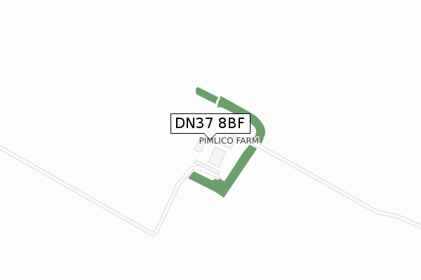
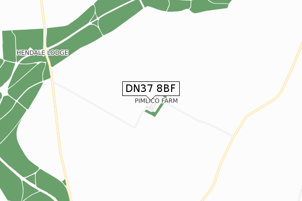
DN37 8BF is located in the Caistor and Yarborough electoral ward, within the local authority district of West Lindsey and the English Parliamentary constituency of Gainsborough. The Sub Integrated Care Board (ICB) Location is NHS Lincolnshire ICB - 71E and the police force is Lincolnshire. This postcode has been in use since November 2017.


GetTheData
Source: OS Open Zoomstack (Ordnance Survey)
Licence: Open Government Licence (requires attribution)
Attribution: Contains OS data © Crown copyright and database right 2025
Source: Open Postcode Geo
Licence: Open Government Licence (requires attribution)
Attribution: Contains OS data © Crown copyright and database right 2025; Contains Royal Mail data © Royal Mail copyright and database right 2025; Source: Office for National Statistics licensed under the Open Government Licence v.3.0
| Easting | 511285 |
| Northing | 407856 |
| Latitude | 53.555563 |
| Longitude | -0.321574 |
GetTheData
Source: Open Postcode Geo
Licence: Open Government Licence
| Country | England |
| Postcode District | DN37 |
➜ See where DN37 is on a map | |
GetTheData
Source: Land Registry Price Paid Data
Licence: Open Government Licence
| Ward | Caistor And Yarborough |
| Constituency | Gainsborough |
GetTheData
Source: ONS Postcode Database
Licence: Open Government Licence
GetTheData
Source: ONS Postcode Database
Licence: Open Government Licence
| Last Collection | |||
|---|---|---|---|
| Location | Mon-Fri | Sat | Distance |
| Limber P.o. | 16:15 | 09:15 | 2,105m |
| Kirmington P.o. | 17:00 | 09:30 | 3,642m |
| Grasby P.o. | 16:15 | 09:30 | 3,798m |
GetTheData
Source: Dracos
Licence: Creative Commons Attribution-ShareAlike
The below table lists the International Territorial Level (ITL) codes (formerly Nomenclature of Territorial Units for Statistics (NUTS) codes) and Local Administrative Units (LAU) codes for DN37 8BF:
| ITL 1 Code | Name |
|---|---|
| TLF | East Midlands (England) |
| ITL 2 Code | Name |
| TLF3 | Lincolnshire |
| ITL 3 Code | Name |
| TLF30 | Lincolnshire CC |
| LAU 1 Code | Name |
| E07000142 | West Lindsey |
GetTheData
Source: ONS Postcode Directory
Licence: Open Government Licence
The below table lists the Census Output Area (OA), Lower Layer Super Output Area (LSOA), and Middle Layer Super Output Area (MSOA) for DN37 8BF:
| Code | Name | |
|---|---|---|
| OA | E00133952 | |
| LSOA | E01026367 | West Lindsey 001A |
| MSOA | E02005492 | West Lindsey 001 |
GetTheData
Source: ONS Postcode Directory
Licence: Open Government Licence
| DN37 8LB | Grasby Road | 1921m |
| DN37 8JZ | 2166m | |
| DN37 8JY | St Peters Close | 2286m |
| DN37 8JL | High Street | 2413m |
| DN37 8JU | Brickyard | 2524m |
| DN38 6BL | 2673m | |
| DN37 8JS | 3030m | |
| DN38 6DZ | The Wold | 3172m |
| DN39 6YN | Ransome Court | 3358m |
| DN39 6YS | East End | 3379m |
GetTheData
Source: Open Postcode Geo; Land Registry Price Paid Data
Licence: Open Government Licence