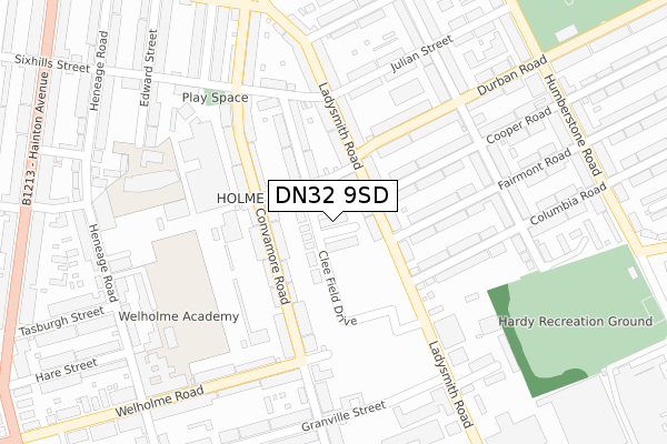
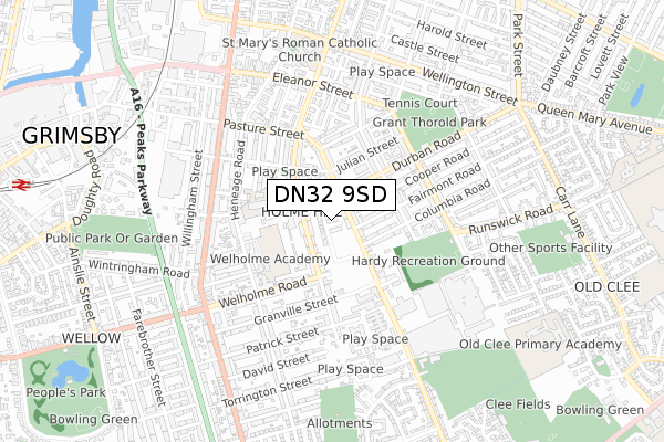
DN32 9SD is located in the Heneage electoral ward, within the unitary authority of North East Lincolnshire and the English Parliamentary constituency of Great Grimsby. The Sub Integrated Care Board (ICB) Location is NHS Humber and North Yorkshire ICB - 03H and the police force is Humberside. This postcode has been in use since November 2018.


GetTheData
Source: OS Open Zoomstack (Ordnance Survey)
Licence: Open Government Licence (requires attribution)
Attribution: Contains OS data © Crown copyright and database right 2025
Source: Open Postcode Geo
Licence: Open Government Licence (requires attribution)
Attribution: Contains OS data © Crown copyright and database right 2025; Contains Royal Mail data © Royal Mail copyright and database right 2025; Source: Office for National Statistics licensed under the Open Government Licence v.3.0
| Easting | 527989 |
| Northing | 408993 |
| Latitude | 53.561977 |
| Longitude | -0.069101 |
GetTheData
Source: Open Postcode Geo
Licence: Open Government Licence
| Country | England |
| Postcode District | DN32 |
➜ See where DN32 is on a map ➜ Where is Grimsby? | |
GetTheData
Source: Land Registry Price Paid Data
Licence: Open Government Licence
| Ward | Heneage |
| Constituency | Great Grimsby |
GetTheData
Source: ONS Postcode Database
Licence: Open Government Licence
2022 27 MAY £145,000 |
2019 12 APR £135,000 |
GetTheData
Source: HM Land Registry Price Paid Data
Licence: Contains HM Land Registry data © Crown copyright and database right 2025. This data is licensed under the Open Government Licence v3.0.
| Columbia Road (Ladysmith Road) | Weelsby | 127m |
| Durban Road | Weelsby | 130m |
| Durban Road | Weelsby | 144m |
| Julian Street (Ladysmith Road) | Weelsby | 165m |
| Weelsby Street South (Durban Road) | Weelsby | 227m |
| Grimsby Town Station | 1.2km |
| Grimsby Docks Station | 1.4km |
| New Clee Station | 1.5km |
GetTheData
Source: NaPTAN
Licence: Open Government Licence
GetTheData
Source: ONS Postcode Database
Licence: Open Government Licence


➜ Get more ratings from the Food Standards Agency
GetTheData
Source: Food Standards Agency
Licence: FSA terms & conditions
| Last Collection | |||
|---|---|---|---|
| Location | Mon-Fri | Sat | Distance |
| Convamore Road | 17:30 | 11:00 | 282m |
| Buller Street | 17:30 | 11:00 | 325m |
| Legsby Avenue | 17:30 | 10:30 | 442m |
GetTheData
Source: Dracos
Licence: Creative Commons Attribution-ShareAlike
| Risk of DN32 9SD flooding from rivers and sea | Very Low |
| ➜ DN32 9SD flood map | |
GetTheData
Source: Open Flood Risk by Postcode
Licence: Open Government Licence
The below table lists the International Territorial Level (ITL) codes (formerly Nomenclature of Territorial Units for Statistics (NUTS) codes) and Local Administrative Units (LAU) codes for DN32 9SD:
| ITL 1 Code | Name |
|---|---|
| TLE | Yorkshire and The Humber |
| ITL 2 Code | Name |
| TLE1 | East Yorkshire and Northern Lincolnshire |
| ITL 3 Code | Name |
| TLE13 | North and North East Lincolnshire |
| LAU 1 Code | Name |
| E06000012 | North East Lincolnshire |
GetTheData
Source: ONS Postcode Directory
Licence: Open Government Licence
The below table lists the Census Output Area (OA), Lower Layer Super Output Area (LSOA), and Middle Layer Super Output Area (MSOA) for DN32 9SD:
| Code | Name | |
|---|---|---|
| OA | E00066430 | |
| LSOA | E01013159 | North East Lincolnshire 011A |
| MSOA | E02002736 | North East Lincolnshire 011 |
GetTheData
Source: ONS Postcode Directory
Licence: Open Government Licence
| DN32 9EJ | Ropery Street | 62m |
| DN32 9EQ | Ladysmith Road | 84m |
| DN32 9EH | Ladysmith Road | 114m |
| DN32 9HY | Convamore Road | 118m |
| DN32 9EN | Donnington Street | 129m |
| DN32 9EG | Ladysmith Road | 134m |
| DN32 9HZ | Convamore Road | 154m |
| DN32 8DF | Cooper Road | 166m |
| DN32 9HU | Convamore Road | 168m |
| DN32 8DZ | Fairmont Road | 172m |
GetTheData
Source: Open Postcode Geo; Land Registry Price Paid Data
Licence: Open Government Licence