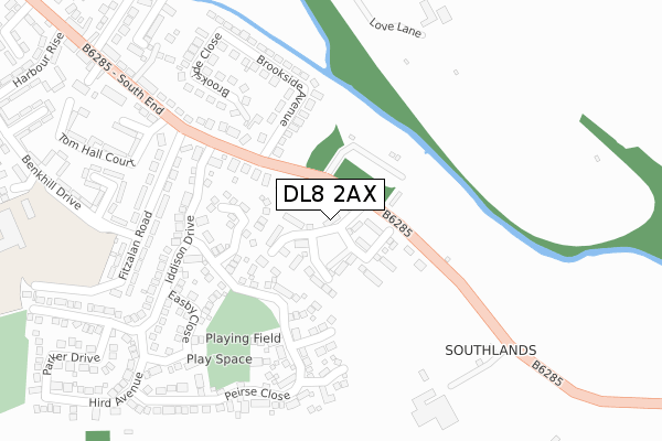
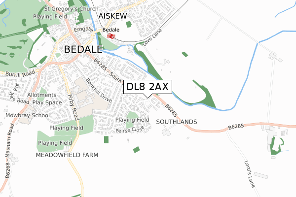
DL8 2AX is located in the Bedale electoral ward, within the unitary authority of North Yorkshire and the English Parliamentary constituency of Richmond (Yorks). The Sub Integrated Care Board (ICB) Location is NHS Humber and North Yorkshire ICB - 42D and the police force is North Yorkshire. This postcode has been in use since August 2019.


GetTheData
Source: OS Open Zoomstack (Ordnance Survey)
Licence: Open Government Licence (requires attribution)
Attribution: Contains OS data © Crown copyright and database right 2025
Source: Open Postcode Geo
Licence: Open Government Licence (requires attribution)
Attribution: Contains OS data © Crown copyright and database right 2025; Contains Royal Mail data © Royal Mail copyright and database right 2025; Source: Office for National Statistics licensed under the Open Government Licence v.3.0
| Easting | 427207 |
| Northing | 487704 |
| Latitude | 54.284263 |
| Longitude | -1.583609 |
GetTheData
Source: Open Postcode Geo
Licence: Open Government Licence
| Country | England |
| Postcode District | DL8 |
➜ See where DL8 is on a map ➜ Where is Bedale? | |
GetTheData
Source: Land Registry Price Paid Data
Licence: Open Government Licence
| Ward | Bedale |
| Constituency | Richmond (Yorks) |
GetTheData
Source: ONS Postcode Database
Licence: Open Government Licence
1, JAVELIN WAY, BEDALE, DL8 2AX 2021 29 JAN £319,950 |
3, JAVELIN WAY, BEDALE, DL8 2AX 2021 18 JAN £304,950 |
19, JAVELIN WAY, BEDALE, DL8 2AX 2020 2 SEP £237,950 |
17, JAVELIN WAY, BEDALE, DL8 2AX 2020 31 JUL £259,950 |
9, JAVELIN WAY, BEDALE, DL8 2AX 2020 30 MAR £309,950 |
20, JAVELIN WAY, BEDALE, DL8 2AX 2019 20 DEC £279,950 |
18, JAVELIN WAY, BEDALE, DL8 2AX 2019 20 DEC £179,950 |
10, JAVELIN WAY, BEDALE, DL8 2AX 2019 31 OCT £196,950 |
6, JAVELIN WAY, BEDALE, DL8 2AX 2019 30 AUG £266,950 |
GetTheData
Source: HM Land Registry Price Paid Data
Licence: Contains HM Land Registry data © Crown copyright and database right 2025. This data is licensed under the Open Government Licence v3.0.
| Fitzalan Road | Bedale | 233m |
| Bedale School (Benkhill Drive) | Bedale | 355m |
| Eccles Heddon Solicitors (B6285) | Bedale | 646m |
| Market Place (B6285) | Bedale | 755m |
| St Mary & St Josephs Church (A684) | Aiskew | 782m |
| Bedale (Wensleydale Railway) | Bedale | 597m |
GetTheData
Source: NaPTAN
Licence: Open Government Licence
GetTheData
Source: ONS Postcode Database
Licence: Open Government Licence


➜ Get more ratings from the Food Standards Agency
GetTheData
Source: Food Standards Agency
Licence: FSA terms & conditions
| Last Collection | |||
|---|---|---|---|
| Location | Mon-Fri | Sat | Distance |
| Masham Road | 17:30 | 11:40 | 959m |
| Rigby Terrace | 16:45 | 11:30 | 1,227m |
| Londonderry | 16:00 | 09:00 | 3,067m |
GetTheData
Source: Dracos
Licence: Creative Commons Attribution-ShareAlike
The below table lists the International Territorial Level (ITL) codes (formerly Nomenclature of Territorial Units for Statistics (NUTS) codes) and Local Administrative Units (LAU) codes for DL8 2AX:
| ITL 1 Code | Name |
|---|---|
| TLE | Yorkshire and The Humber |
| ITL 2 Code | Name |
| TLE2 | North Yorkshire |
| ITL 3 Code | Name |
| TLE22 | North Yorkshire CC |
| LAU 1 Code | Name |
| E07000164 | Hambleton |
GetTheData
Source: ONS Postcode Directory
Licence: Open Government Licence
The below table lists the Census Output Area (OA), Lower Layer Super Output Area (LSOA), and Middle Layer Super Output Area (MSOA) for DL8 2AX:
| Code | Name | |
|---|---|---|
| OA | E00140449 | |
| LSOA | E01027588 | Hambleton 006B |
| MSOA | E02005755 | Hambleton 006 |
GetTheData
Source: ONS Postcode Directory
Licence: Open Government Licence
| DL8 2DS | South End | 95m |
| DL8 2UA | Stapleton Close | 96m |
| DL8 2UJ | Vasey Close | 134m |
| DL8 2DW | South End | 179m |
| DL8 2UB | Easby Close | 203m |
| DL8 2UW | Peirse Close | 211m |
| DL8 2DP | Brookside Avenue | 226m |
| DL8 2EP | Iddison Drive | 239m |
| DL8 2DU | Fitzalan Road | 242m |
| DL8 2UN | Bowe Crescent | 246m |
GetTheData
Source: Open Postcode Geo; Land Registry Price Paid Data
Licence: Open Government Licence