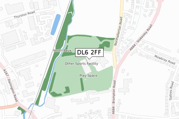
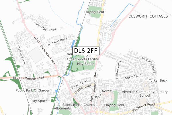
DL6 2FF is located in the Northallerton North & Brompton electoral ward, within the unitary authority of North Yorkshire and the English Parliamentary constituency of Richmond (Yorks). The Sub Integrated Care Board (ICB) Location is NHS Humber and North Yorkshire ICB - 42D and the police force is North Yorkshire. This postcode has been in use since June 2019.


GetTheData
Source: OS Open Zoomstack (Ordnance Survey)
Licence: Open Government Licence (requires attribution)
Attribution: Contains OS data © Crown copyright and database right 2025
Source: Open Postcode Geo
Licence: Open Government Licence (requires attribution)
Attribution: Contains OS data © Crown copyright and database right 2025; Contains Royal Mail data © Royal Mail copyright and database right 2025; Source: Office for National Statistics licensed under the Open Government Licence v.3.0
| Easting | 436860 |
| Northing | 494900 |
| Latitude | 54.348329 |
| Longitude | -1.434461 |
GetTheData
Source: Open Postcode Geo
Licence: Open Government Licence
| Country | England |
| Postcode District | DL6 |
➜ See where DL6 is on a map ➜ Where is Northallerton? | |
GetTheData
Source: Land Registry Price Paid Data
Licence: Open Government Licence
| Ward | Northallerton North & Brompton |
| Constituency | Richmond (Yorks) |
GetTheData
Source: ONS Postcode Database
Licence: Open Government Licence
| Stone Cross (Northallerton Road) | Northallerton | 159m |
| Stone Cross (Northallerton Road) | Northallerton | 190m |
| Quaker Lane (A684) | Northallerton | 442m |
| High Street (A167) | Northallerton | 495m |
| Byland Place | Northallerton | 512m |
| Northallerton Station | 1.8km |
GetTheData
Source: NaPTAN
Licence: Open Government Licence
GetTheData
Source: ONS Postcode Database
Licence: Open Government Licence


➜ Get more ratings from the Food Standards Agency
GetTheData
Source: Food Standards Agency
Licence: FSA terms & conditions
| Last Collection | |||
|---|---|---|---|
| Location | Mon-Fri | Sat | Distance |
| Quaker Lane | 17:30 | 11:15 | 349m |
| Thurston Road | 476m | ||
| Thurston Road | 478m | ||
GetTheData
Source: Dracos
Licence: Creative Commons Attribution-ShareAlike
| Risk of DL6 2FF flooding from rivers and sea | Low |
| ➜ DL6 2FF flood map | |
GetTheData
Source: Open Flood Risk by Postcode
Licence: Open Government Licence
The below table lists the International Territorial Level (ITL) codes (formerly Nomenclature of Territorial Units for Statistics (NUTS) codes) and Local Administrative Units (LAU) codes for DL6 2FF:
| ITL 1 Code | Name |
|---|---|
| TLE | Yorkshire and The Humber |
| ITL 2 Code | Name |
| TLE2 | North Yorkshire |
| ITL 3 Code | Name |
| TLE22 | North Yorkshire CC |
| LAU 1 Code | Name |
| E07000164 | Hambleton |
GetTheData
Source: ONS Postcode Directory
Licence: Open Government Licence
The below table lists the Census Output Area (OA), Lower Layer Super Output Area (LSOA), and Middle Layer Super Output Area (MSOA) for DL6 2FF:
| Code | Name | |
|---|---|---|
| OA | E00140587 | |
| LSOA | E01027611 | Hambleton 004F |
| MSOA | E02005753 | Hambleton 004 |
GetTheData
Source: ONS Postcode Directory
Licence: Open Government Licence
| DL6 2PY | Northallerton Road | 211m |
| DL6 2TS | Stokesley Road | 237m |
| DL6 1ED | Brompton Road | 314m |
| DL6 2NJ | Omega Business Village | 329m |
| DL6 1EL | Swain Court | 359m |
| DL6 2NQ | County Business Park | 381m |
| DL6 2NG | Northallerton Business Park | 390m |
| DL6 1EE | Quaker Lane | 397m |
| DL6 1EA | Brompton Road | 423m |
| DL6 1PY | Winston Court | 427m |
GetTheData
Source: Open Postcode Geo; Land Registry Price Paid Data
Licence: Open Government Licence