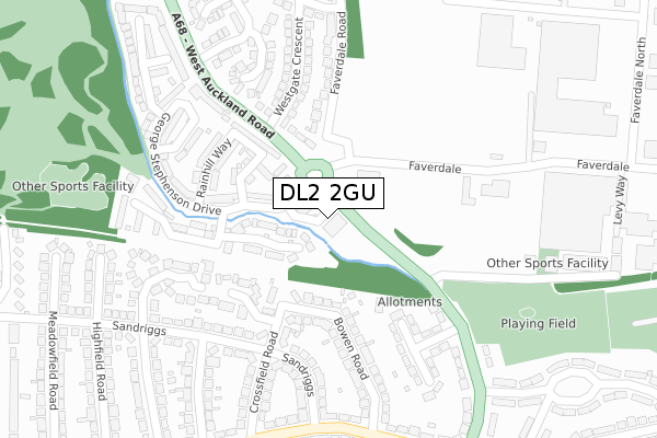
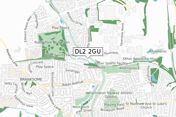
DL2 2GU is located in the Brinkburn & Faverdale electoral ward, within the unitary authority of Darlington and the English Parliamentary constituency of Darlington. The Sub Integrated Care Board (ICB) Location is NHS North East and North Cumbria ICB - 16C and the police force is Durham. This postcode has been in use since February 2020.


GetTheData
Source: OS Open Zoomstack (Ordnance Survey)
Licence: Open Government Licence (requires attribution)
Attribution: Contains OS data © Crown copyright and database right 2025
Source: Open Postcode Geo
Licence: Open Government Licence (requires attribution)
Attribution: Contains OS data © Crown copyright and database right 2025; Contains Royal Mail data © Royal Mail copyright and database right 2025; Source: Office for National Statistics licensed under the Open Government Licence v.3.0
| Easting | 427322 |
| Northing | 516435 |
| Latitude | 54.542456 |
| Longitude | -1.579209 |
GetTheData
Source: Open Postcode Geo
Licence: Open Government Licence
| Country | England |
| Postcode District | DL2 |
➜ See where DL2 is on a map ➜ Where is Darlington? | |
GetTheData
Source: Land Registry Price Paid Data
Licence: Open Government Licence
| Ward | Brinkburn & Faverdale |
| Constituency | Darlington |
GetTheData
Source: ONS Postcode Database
Licence: Open Government Licence
| Beck House (West Auckland Road) | Faverdale | 94m |
| Faverdale Road (Faverdale) | Faverdale | 100m |
| Faverdale Road (Faverdale) | Faverdale | 104m |
| Westgate Crescent (West Auckland Road) | Faverdale | 144m |
| Beck House (West Auckland Road) | Faverdale | 153m |
| North Road Station | 1.8km |
| Darlington Station | 3.2km |
GetTheData
Source: NaPTAN
Licence: Open Government Licence
GetTheData
Source: ONS Postcode Database
Licence: Open Government Licence


➜ Get more ratings from the Food Standards Agency
GetTheData
Source: Food Standards Agency
Licence: FSA terms & conditions
| Last Collection | |||
|---|---|---|---|
| Location | Mon-Fri | Sat | Distance |
| Westgate Crescent | 17:00 | 10:45 | 98m |
| Faverdale Industrial Estate | 19:00 | 203m | |
| Faverdale P.o. Sandriggs | 17:30 | 11:00 | 314m |
GetTheData
Source: Dracos
Licence: Creative Commons Attribution-ShareAlike
The below table lists the International Territorial Level (ITL) codes (formerly Nomenclature of Territorial Units for Statistics (NUTS) codes) and Local Administrative Units (LAU) codes for DL2 2GU:
| ITL 1 Code | Name |
|---|---|
| TLC | North East (England) |
| ITL 2 Code | Name |
| TLC1 | Tees Valley and Durham |
| ITL 3 Code | Name |
| TLC13 | Darlington |
| LAU 1 Code | Name |
| E06000005 | Darlington |
GetTheData
Source: ONS Postcode Directory
Licence: Open Government Licence
The below table lists the Census Output Area (OA), Lower Layer Super Output Area (LSOA), and Middle Layer Super Output Area (MSOA) for DL2 2GU:
| Code | Name | |
|---|---|---|
| OA | E00174209 | |
| LSOA | E01033482 | Darlington 001F |
| MSOA | E02002559 | Darlington 001 |
GetTheData
Source: ONS Postcode Directory
Licence: Open Government Licence
| DL2 2GJ | Locomotion Lane | 83m |
| DL3 0ST | West Auckland Road | 141m |
| DL2 2GB | Swinbridge | 156m |
| DL3 0TG | Crossfield Road | 156m |
| DL2 2GH | Sans Pareil Square | 161m |
| DL2 2GD | Paradise Way | 166m |
| DL2 2GA | Rainhill Way | 192m |
| DL2 2GE | George Stephenson Drive | 194m |
| DL3 0UJ | Mulheim Close | 194m |
| DL3 0SU | West Auckland Road | 204m |
GetTheData
Source: Open Postcode Geo; Land Registry Price Paid Data
Licence: Open Government Licence