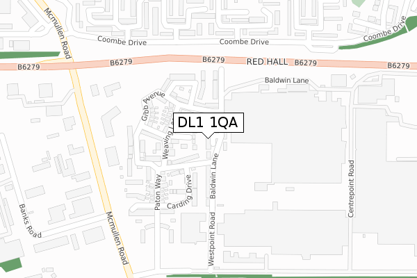
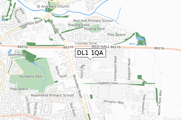
DL1 1QA is located in the Red Hall & Lingfield electoral ward, within the unitary authority of Darlington and the English Parliamentary constituency of Darlington. The Sub Integrated Care Board (ICB) Location is NHS North East and North Cumbria ICB - 16C and the police force is Durham. This postcode has been in use since March 2018.


GetTheData
Source: OS Open Zoomstack (Ordnance Survey)
Licence: Open Government Licence (requires attribution)
Attribution: Contains OS data © Crown copyright and database right 2025
Source: Open Postcode Geo
Licence: Open Government Licence (requires attribution)
Attribution: Contains OS data © Crown copyright and database right 2025; Contains Royal Mail data © Royal Mail copyright and database right 2025; Source: Office for National Statistics licensed under the Open Government Licence v.3.0
| Easting | 431298 |
| Northing | 515098 |
| Latitude | 54.530212 |
| Longitude | -1.517897 |
GetTheData
Source: Open Postcode Geo
Licence: Open Government Licence
| Country | England |
| Postcode District | DL1 |
➜ See where DL1 is on a map ➜ Where is Darlington? | |
GetTheData
Source: Land Registry Price Paid Data
Licence: Open Government Licence
| Ward | Red Hall & Lingfield |
| Constituency | Darlington |
GetTheData
Source: ONS Postcode Database
Licence: Open Government Licence
| Westpoint Road (B6279) | Lingfield | 203m |
| Headingley Crescent (Coombe Drive) | Red Hall | 228m |
| Headingley Crescent (Coombe Drive) | Red Hall | 241m |
| Kwik Fit (Mcmullen Road) | Lingfield | 275m |
| Kwik Fit (Mcmullen Road) | Lingfield | 287m |
| Darlington Station | 2.2km |
| North Road Station | 2.4km |
| Dinsdale Station | 3.7km |
GetTheData
Source: NaPTAN
Licence: Open Government Licence
| Percentage of properties with Next Generation Access | 72.7% |
| Percentage of properties with Superfast Broadband | 72.7% |
| Percentage of properties with Ultrafast Broadband | 72.7% |
| Percentage of properties with Full Fibre Broadband | 0.0% |
Superfast Broadband is between 30Mbps and 300Mbps
Ultrafast Broadband is > 300Mbps
| Median download speed | 100.0Mbps |
| Average download speed | 115.0Mbps |
| Maximum download speed | 350.00Mbps |
| Median upload speed | 0.7Mbps |
| Average upload speed | 3.9Mbps |
| Maximum upload speed | 19.53Mbps |
| Percentage of properties unable to receive 2Mbps | 0.0% |
| Percentage of properties unable to receive 5Mbps | 27.3% |
| Percentage of properties unable to receive 10Mbps | 27.3% |
| Percentage of properties unable to receive 30Mbps | 27.3% |
GetTheData
Source: Ofcom
Licence: Ofcom Terms of Use (requires attribution)
GetTheData
Source: ONS Postcode Database
Licence: Open Government Licence


➜ Get more ratings from the Food Standards Agency
GetTheData
Source: Food Standards Agency
Licence: FSA terms & conditions
| Last Collection | |||
|---|---|---|---|
| Location | Mon-Fri | Sat | Distance |
| Coombe Drive | 17:00 | 11:15 | 259m |
| Mcmullen Road | 17:00 | 11:15 | 443m |
| Epsom Court | 17:00 | 11:15 | 527m |
GetTheData
Source: Dracos
Licence: Creative Commons Attribution-ShareAlike
The below table lists the International Territorial Level (ITL) codes (formerly Nomenclature of Territorial Units for Statistics (NUTS) codes) and Local Administrative Units (LAU) codes for DL1 1QA:
| ITL 1 Code | Name |
|---|---|
| TLC | North East (England) |
| ITL 2 Code | Name |
| TLC1 | Tees Valley and Durham |
| ITL 3 Code | Name |
| TLC13 | Darlington |
| LAU 1 Code | Name |
| E06000005 | Darlington |
GetTheData
Source: ONS Postcode Directory
Licence: Open Government Licence
The below table lists the Census Output Area (OA), Lower Layer Super Output Area (LSOA), and Middle Layer Super Output Area (MSOA) for DL1 1QA:
| Code | Name | |
|---|---|---|
| OA | E00062249 | |
| LSOA | E01012343 | Darlington 009D |
| MSOA | E02002567 | Darlington 009 |
GetTheData
Source: ONS Postcode Directory
Licence: Open Government Licence
| DL1 1NA | Carding Drive | 138m |
| DL1 1NQ | Gibb Avenue | 151m |
| DL1 1LP | Paton Way | 172m |
| DL1 1LY | Spindle Grove | 236m |
| DL1 2SU | Goodison Way | 297m |
| DL1 2SY | Murrayfield Way | 315m |
| DL1 2SX | White Hart Crescent | 328m |
| DL1 2SR | Headingley Crescent | 329m |
| DL1 2SP | Wimbledon Close | 332m |
| DL1 2SZ | Bramall Lane | 382m |
GetTheData
Source: Open Postcode Geo; Land Registry Price Paid Data
Licence: Open Government Licence